Seattle to Anchorage is 1,442 miles (2,321 km), a flight of about 3 hours 25 minutes.
The right side delivers Mount Rainier on departure, glimpses of BC's Coast Mountains and Southeast Alaska's glacier-fed peaks during cruise, and a dramatic Chugach Mountain backdrop on arrival into Anchorage — far more consistent mountain drama than the ocean- and lowland-facing left side.
Flight Path
British Columbia's Coast Mountains, the Inside Passage and Alaska Panhandle's fjords and glaciers, and the open waters of the Gulf of Alaska before descent into Cook Inlet
Great circle distance and headings ›Phase by phase
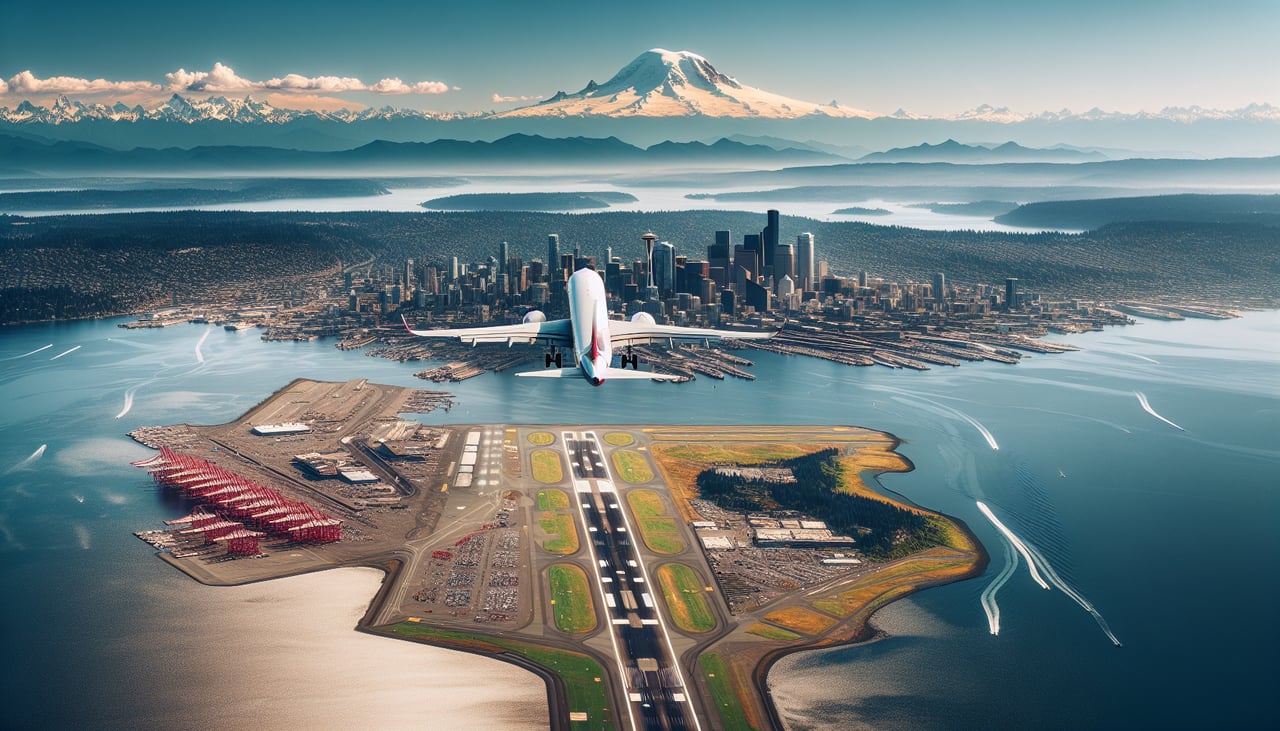
Takeoff from SEA
RIGHTClimbing north out of SEA, Mount Rainier's massive glaciated cone dominates the view to the southeast/east, while the Cascades' northern peaks (Mount Baker, Glacier Peak) come into view as the plane turns north. The left side only shows Puget Sound and the Olympic Peninsula's lower ridgelines.
Landing at MRI
RIGHTApproaching Anchorage from the south along Cook Inlet, the jagged, glacier-draped Chugach Mountains rise directly to the east, forming a dramatic backdrop to the city. On very clear days, Denali is even visible far to the north. The left side shows the flatter, less distinctive Mount Susitna and the waters of Cook Inlet.
Landmarks on this routeAll landmarks →
Will your flight be in sunlight?
Pick a date and time in the Sun Map to watch the sun move across your whole flight.
About This Route
Which side of the plane should I sit on flying from Seattle Tacoma International (SEA) to Merrill Fld (MRI)?
Sit on the Right side of the plane for the best views on flights from Seattle to Anchorage. The right side delivers Mount Rainier on departure, glimpses of BC's Coast Mountains and Southeast Alaska's glacier-fed peaks during cruise, and a dramatic Chugach Mountain backdrop on arrival into Anchorage — far more consistent mountain drama than the ocean- and lowland-facing left side.
What can I see during takeoff from Seattle Tacoma International in Seattle?
During takeoff from Seattle Tacoma International (SEA), sit on the Right side for the best views. Climbing north out of SEA, Mount Rainier's massive glaciated cone dominates the view to the southeast/east, while the Cascades' northern peaks (Mount Baker, Glacier Peak) come into view as the plane turns north. The left side only shows Puget Sound and the Olympic Peninsula's lower ridgelines. Notable sights include: Mount Rainier, Mount Baker, Glacier Peak, Cascade foothills.
What can I see when landing at Merrill Fld in Anchorage?
When landing at Merrill Fld (MRI), sit on the Right side for the best views. Approaching Anchorage from the south along Cook Inlet, the jagged, glacier-draped Chugach Mountains rise directly to the east, forming a dramatic backdrop to the city. On very clear days, Denali is even visible far to the north. The left side shows the flatter, less distinctive Mount Susitna and the waters of Cook Inlet. Notable sights include: Chugach Mountains, Cook Inlet, Anchorage skyline, Denali (on clear days).
How long is the flight from Seattle to Anchorage?
The flight from Seattle Tacoma International (SEA) to Merrill Fld (MRI) takes about 3 hours 25 minutes. The shortest flight path between them is 1,442 miles (2,321 km); winds and air traffic control usually add a few percent.
What does the Seattle to Anchorage flight path pass over?
British Columbia's Coast Mountains, the Inside Passage and Alaska Panhandle's fjords and glaciers, and the open waters of the Gulf of Alaska before descent into Cook Inlet