Seattle to Riberalta is 5,307 miles (8,540 km), a flight of about 10 hours 15 minutes.
Right-side seats capture the most dramatic scenery: Mount Rainier and the Cascades during departure, then the transition from Pacific Northwest forests through the Rocky Mountain region, and finally the Amazon Basin's river systems during descent. The left side offers less distinctive features over the central and southern portions of the flight.
Flight Path
The flight path crosses the Sierra Madre Occidental in northern Mexico (visible as high desert and mountain ranges), then transitions over the Sierra Madre del Sur. Over central Mexico, the Trans-Mexican Volcanic Belt is visible with peaks like Popocatépetl. Crossing into Central America, the flight passes over Guatemala's volcanic highlands and the Yucatan Peninsula region. Entering South America, the Andes' eastern slopes appear, followed by the vast Amazon Basin with major river systems including the Amazon River itself, Rio Negro, and Rio Madeira visible as dark linear features through the rainforest canopy.
Great circle distance and headings ›
.jpg?width=600)


Phase by phase
Takeoff from SEA
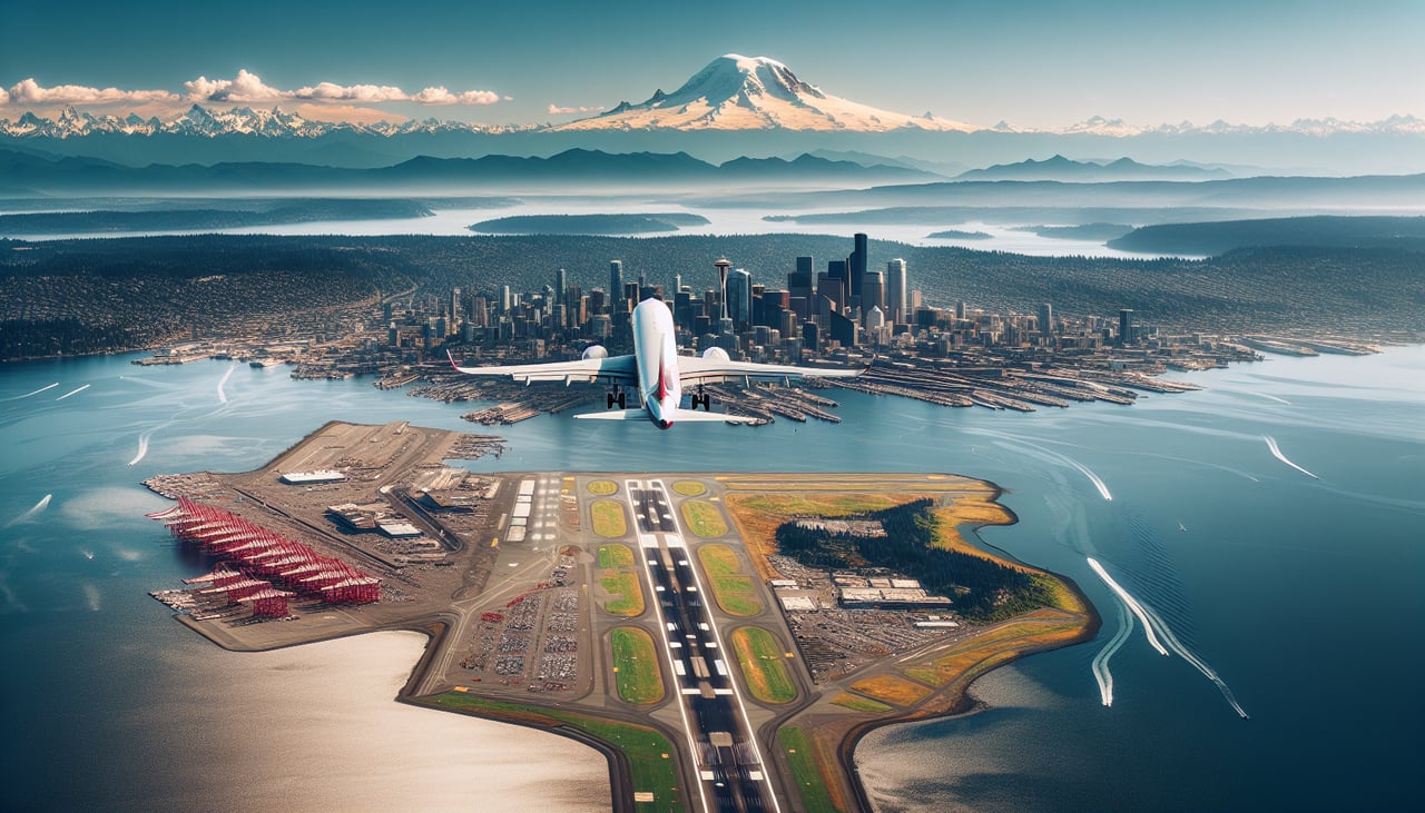
RIGHTRight-side seats offer views of the Cascade Range and Mount Rainier during the initial climb-out heading southeast. The mountain is directly in line with SEA's standard departure corridor and dominates the eastern horizon.
Landing at RIB
LEFTLeft-side seats provide views of the Amazon Basin's river systems and rainforest canopy during descent into Riberalta. The Beni River and its tributaries are visible from altitude and mark the approach corridor into the region.
Landmarks on this routeAll landmarks →
Will your flight be in sunlight?
Pick a date and time in the Sun Map to watch the sun move across your whole flight.
About This Route
Which side of the plane should I sit on flying from Seattle Tacoma International (SEA) to Cap De Av Selin Zeitun Lopez (RIB)?
Sit on the Right side of the plane for the best views on flights from Seattle to Riberalta. Right-side seats capture the most dramatic scenery: Mount Rainier and the Cascades during departure, then the transition from Pacific Northwest forests through the Rocky Mountain region, and finally the Amazon Basin's river systems during descent. The left side offers less distinctive features over the central and southern portions of the flight.
What can I see during takeoff from Seattle Tacoma International in Seattle?
During takeoff from Seattle Tacoma International (SEA), sit on the Right side for the best views. Right-side seats offer views of the Cascade Range and Mount Rainier during the initial climb-out heading southeast. The mountain is directly in line with SEA's standard departure corridor and dominates the eastern horizon. Notable sights include: Mount Rainier (14,411 ft), Cascade Range, Puget Sound, Olympic Mountains to the west.
What can I see when landing at Cap De Av Selin Zeitun Lopez in Riberalta?
When landing at Cap De Av Selin Zeitun Lopez (RIB), sit on the Left side for the best views. Left-side seats provide views of the Amazon Basin's river systems and rainforest canopy during descent into Riberalta. The Beni River and its tributaries are visible from altitude and mark the approach corridor into the region. Notable sights include: Beni River, Amazon Basin rainforest, Rio Madre de Dios confluence area, cleared agricultural patches.
How long is the flight from Seattle to Riberalta?
The flight from Seattle Tacoma International (SEA) to Cap De Av Selin Zeitun Lopez (RIB) takes about 10 hours 15 minutes. The shortest flight path between them is 5,307 miles (8,540 km); winds and air traffic control usually add a few percent.
What does the Seattle to Riberalta flight path pass over?
The flight path crosses the Sierra Madre Occidental in northern Mexico (visible as high desert and mountain ranges), then transitions over the Sierra Madre del Sur. Over central Mexico, the Trans-Mexican Volcanic Belt is visible with peaks like Popocatépetl. Crossing into Central America, the flight passes over Guatemala's volcanic highlands and the Yucatan Peninsula region. Entering South America, the Andes' eastern slopes appear, followed by the vast Amazon Basin with major river systems including the Amazon River itself, Rio Negro, and Rio Madeira visible as dark linear features through the rainforest canopy.