Seattle to St. John's is 3,130 miles (5,037 km), a flight of about 5 hours 45 minutes.
Right-side seats capture the most dramatic scenery: Mount Rainier and the Cascades on departure, plus the flight path crosses over the Canadian Rockies (visible from altitude) and the Atlantic coastline during approach. Left side offers water views but fewer distinctive landmarks.
Flight Path
The flight path crosses the Canadian interior, passing over or near the Rocky Mountains (visible as a major ridge system from cruising altitude around 35,000 feet), the Great Lakes region (if routed south), and the Maritime provinces. Notable features include the Canadian Shield terrain (boreal forest and lakes), the St. Lawrence River valley, and the transition to Atlantic coastal geography as the aircraft descends toward Newfoundland.
Great circle distance and headings ›
.jpg?width=600)
Phase by phase
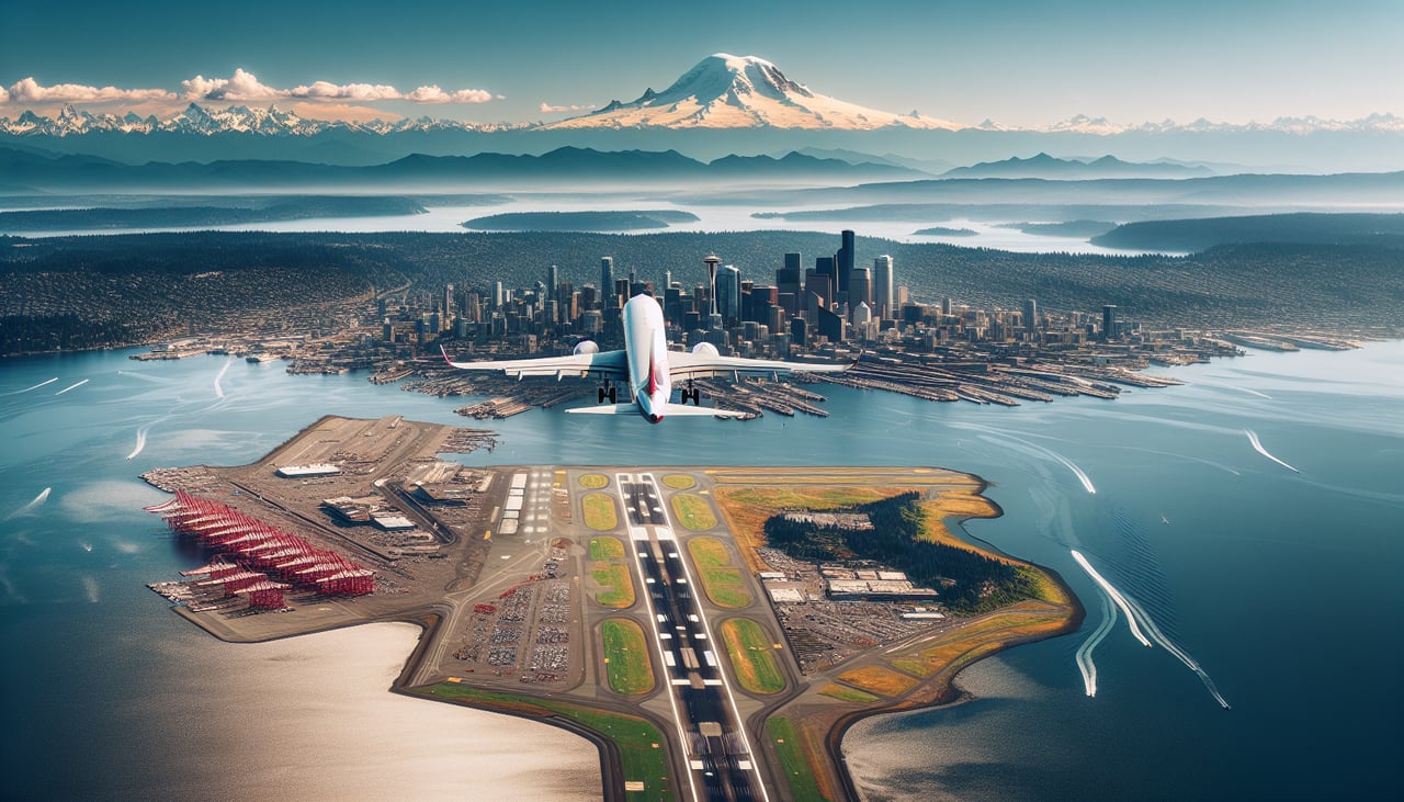
Takeoff from SEA
RIGHTRight-side seats offer views of the Cascade Range and Mount Rainier during the initial climb-out heading northeast. The left side faces the Puget Sound and Olympic Mountains, which are lower and less dramatic from this angle.
Landing at YYT
LEFTLeft-side seats provide views of the Atlantic coastline, Conception Bay, and the rugged Avalon Peninsula terrain during approach to St. John's. The right side faces inland forest and offers less distinctive visual landmarks.
Landmarks on this routeAll landmarks →
Will your flight be in sunlight?
Pick a date and time in the Sun Map to watch the sun move across your whole flight.
About This Route
Which side of the plane should I sit on flying from Seattle Tacoma International (SEA) to St Johns International (YYT)?
Sit on the Right side of the plane for the best views on flights from Seattle to St. John's. Right-side seats capture the most dramatic scenery: Mount Rainier and the Cascades on departure, plus the flight path crosses over the Canadian Rockies (visible from altitude) and the Atlantic coastline during approach. Left side offers water views but fewer distinctive landmarks.
What can I see during takeoff from Seattle Tacoma International in Seattle?
During takeoff from Seattle Tacoma International (SEA), sit on the Right side for the best views. Right-side seats offer views of the Cascade Range and Mount Rainier during the initial climb-out heading northeast. The left side faces the Puget Sound and Olympic Mountains, which are lower and less dramatic from this angle. Notable sights include: Mount Rainier (14,410 ft, visible 50+ miles southeast), Cascade Range peaks, Lake Washington, Puget Sound shoreline.
What can I see when landing at St Johns International in St. John's?
When landing at St Johns International (YYT), sit on the Left side for the best views. Left-side seats provide views of the Atlantic coastline, Conception Bay, and the rugged Avalon Peninsula terrain during approach to St. John's. The right side faces inland forest and offers less distinctive visual landmarks. Notable sights include: Conception Bay, Avalon Peninsula rocky coastline, Signal Hill, St. John's harbor and city lights.
How long is the flight from Seattle to St. John's?
The flight from Seattle Tacoma International (SEA) to St Johns International (YYT) takes about 5 hours 45 minutes. The shortest flight path between them is 3,130 miles (5,037 km); winds and air traffic control usually add a few percent.
What does the Seattle to St. John's flight path pass over?
The flight path crosses the Canadian interior, passing over or near the Rocky Mountains (visible as a major ridge system from cruising altitude around 35,000 feet), the Great Lakes region (if routed south), and the Maritime provinces. Notable features include the Canadian Shield terrain (boreal forest and lakes), the St. Lawrence River valley, and the transition to Atlantic coastal geography as the aircraft descends toward Newfoundland.