While the right side offers a nicer takeoff over Ho Chi Minh City, the left side delivers a much stronger overall experience: the flight path skirts the limestone karst terrain of northern Palawan, passes near Kanlaon Volcano on Negros Island, and ends with a mountain-backed view of Cebu City on approach.
Flight Path
South China Sea crossing, limestone karst terrain of northern Palawan near El Nido, Panay Island and Guimaras Strait, Kanlaon Volcano on Negros Island close to the flight path
Great circle distance and headings ›Phase by phase
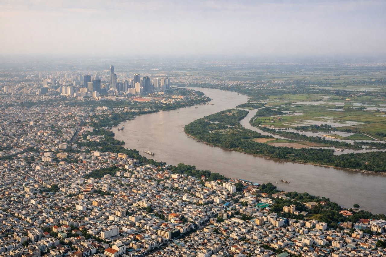
Takeoff from SGN
RIGHTDeparting SGN toward the east puts Ho Chi Minh City's skyline and the winding Saigon River on the right side, followed by the Dong Nai river plain and the small coastal hills near Vung Tau as the aircraft climbs toward the coast.
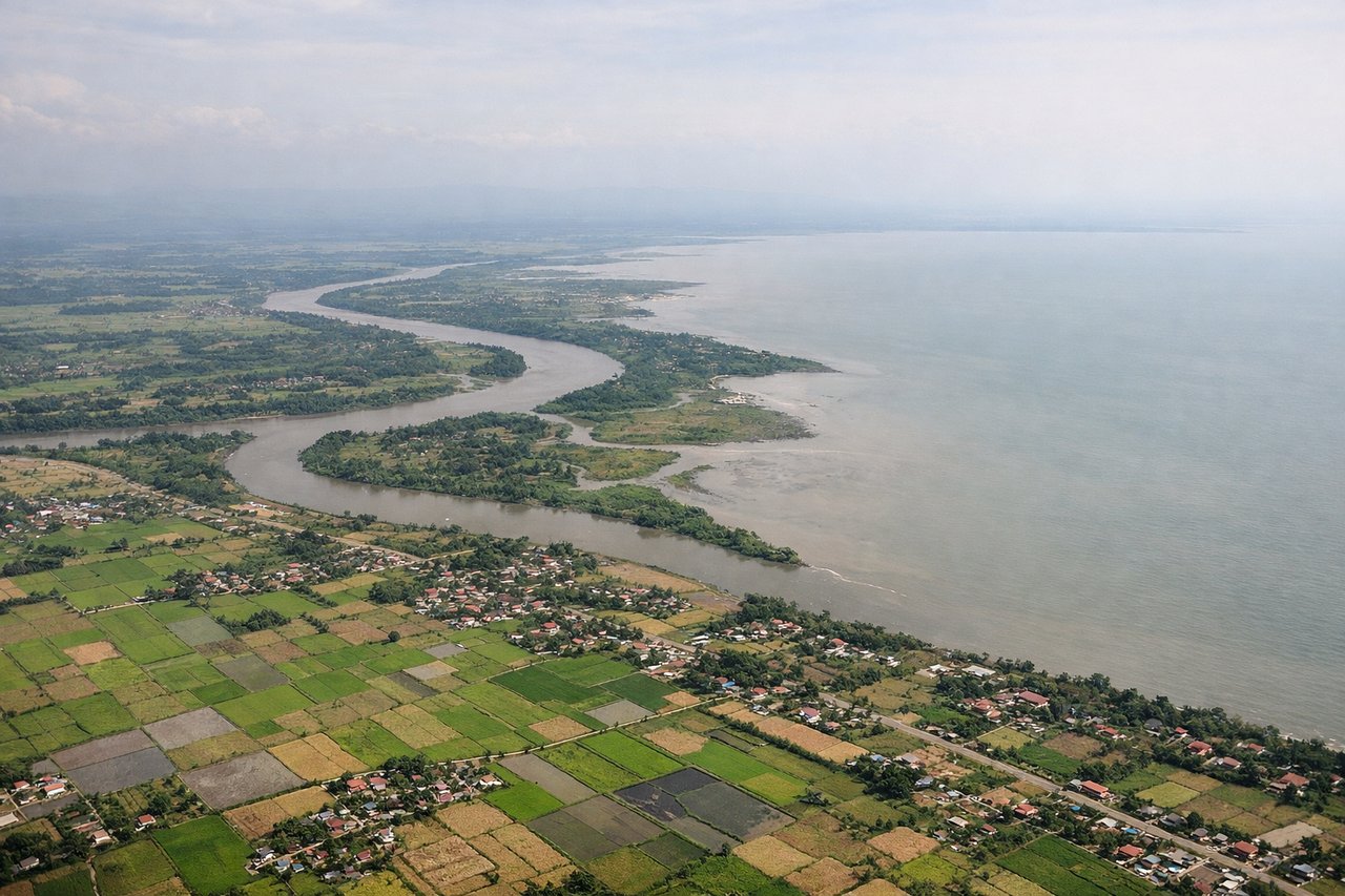
Landing at CEB
LEFTOn approach into Cebu (runway 04, landing toward the northeast), the left side faces west toward Cebu City and its mountainous spine, giving passengers a view of the urban waterfront backed by green hills, plus the turquoise Mactan Channel below.
Landmarks on this routeAll landmarks →
Will your flight be in sunlight?
See exactly which side of the plane gets sun and shade at your departure time.
About This Route
Which side of the plane should I sit on flying from Tansonnhat International (SGN) to Mactan Cebu International Airport (CEB)?
Sit on the Left side of the plane for the best views on flights from Ho Chi Minh City to Cebu. While the right side offers a nicer takeoff over Ho Chi Minh City, the left side delivers a much stronger overall experience: the flight path skirts the limestone karst terrain of northern Palawan, passes near Kanlaon Volcano on Negros Island, and ends with a mountain-backed view of Cebu City on approach.
What can I see during takeoff from Tansonnhat International in Ho Chi Minh City?
During takeoff from Tansonnhat International (SGN), sit on the Right side for the best views. Departing SGN toward the east puts Ho Chi Minh City's skyline and the winding Saigon River on the right side, followed by the Dong Nai river plain and the small coastal hills near Vung Tau as the aircraft climbs toward the coast. Notable sights include: Saigon River bends through District 1/4, HCMC skyline (Landmark 81, Bitexco Tower), Nha Be river confluence, Vung Tau coastline.
What can I see when landing at Mactan Cebu International Airport in Cebu?
When landing at Mactan Cebu International Airport (CEB), sit on the Left side for the best views. On approach into Cebu (runway 04, landing toward the northeast), the left side faces west toward Cebu City and its mountainous spine, giving passengers a view of the urban waterfront backed by green hills, plus the turquoise Mactan Channel below. Notable sights include: Cebu City skyline and port, Cebu's central mountain range (Busay Hills), Mactan Channel, Mactan Island coastline.
How long is the flight from Ho Chi Minh City to Cebu?
The flight from Tansonnhat International (SGN) to Mactan Cebu International Airport (CEB) takes 2h 25m.
What does the Ho Chi Minh City to Cebu flight path pass over?
South China Sea crossing, limestone karst terrain of northern Palawan near El Nido, Panay Island and Guimaras Strait, Kanlaon Volcano on Negros Island close to the flight path