While takeoff slightly favors the right side for Wasatch Range views, the left side wins overall because of the striking Diamond Head and Waikiki approach into Honolulu, which is the single most memorable visual moment of the entire flight and outweighs the modest mountain views at departure.
Flight Path
The route crosses the Great Basin desert briefly before transitioning into several hours of open Pacific Ocean with no landmasses visible until the Hawaiian Islands appear near the end of the flight.
Great circle distance and headings ›


Phase by phase
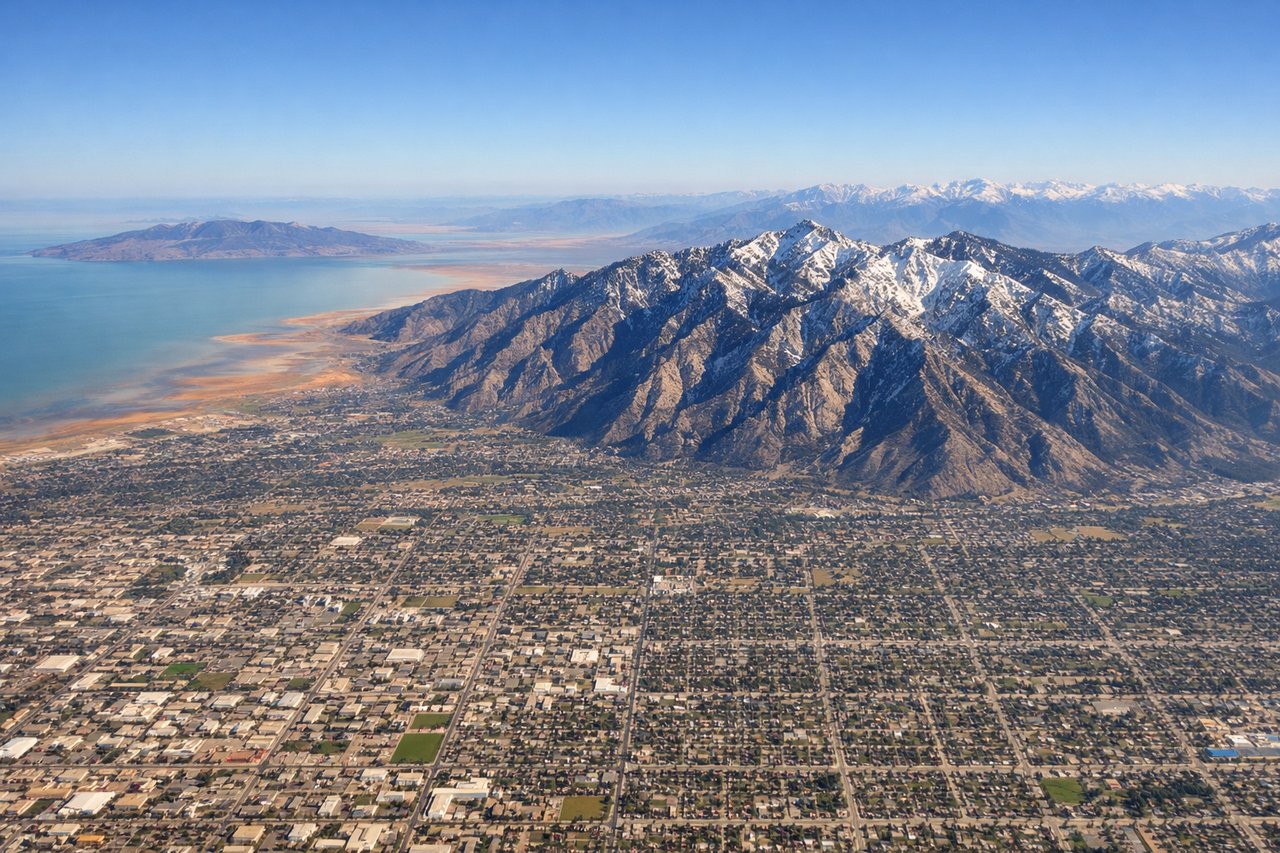
Takeoff from SLC
RIGHTAs the aircraft climbs out of SLC and turns southwest toward the Pacific, the Wasatch Range and the Salt Lake Valley remain visible on the right side of the plane before the mountains fall away into desert. The Great Salt Lake also briefly appears to the north on this side during the turn.
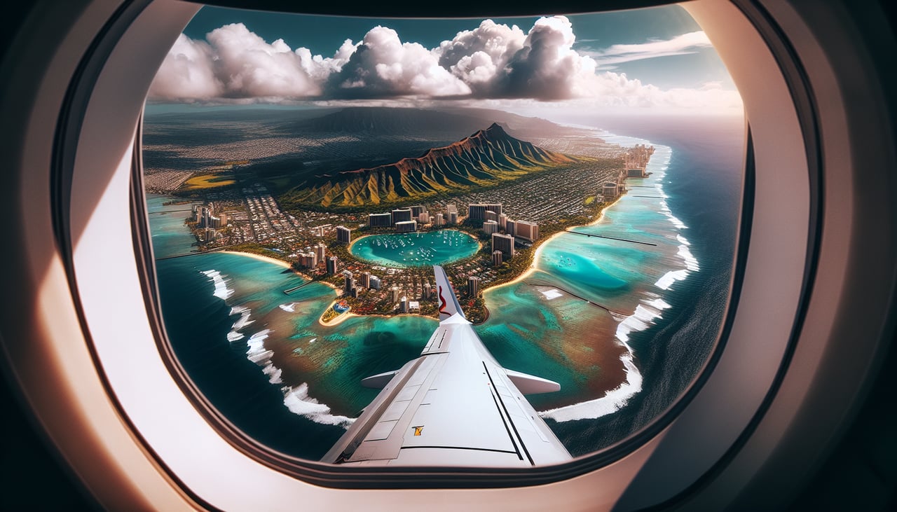
Landing at HNL
LEFTOn the final approach into HNL heading east, the aircraft typically passes south of Honolulu with Diamond Head's volcanic crater and the Waikiki coastline visible on the left side of the plane, followed by the downtown skyline sliding past just before touchdown. This is a far more dramatic sequence than the Ko'olau ridgeline visible on the right.
Landmarks on this routeAll landmarks →
Will your flight be in sunlight?
See exactly which side of the plane gets sun and shade at your departure time.
About This Route
Which side of the plane should I sit on flying from Salt Lake City International (SLC) to Honolulu International (HNL)?
Sit on the Left side of the plane for the best views on flights from Salt Lake City to Honolulu. While takeoff slightly favors the right side for Wasatch Range views, the left side wins overall because of the striking Diamond Head and Waikiki approach into Honolulu, which is the single most memorable visual moment of the entire flight and outweighs the modest mountain views at departure.
What can I see during takeoff from Salt Lake City International in Salt Lake City?
During takeoff from Salt Lake City International (SLC), sit on the Right side for the best views. As the aircraft climbs out of SLC and turns southwest toward the Pacific, the Wasatch Range and the Salt Lake Valley remain visible on the right side of the plane before the mountains fall away into desert. The Great Salt Lake also briefly appears to the north on this side during the turn. Notable sights include: Wasatch Range, Salt Lake Valley, Great Salt Lake, Oquirrh Mountains.
What can I see when landing at Honolulu International in Honolulu?
When landing at Honolulu International (HNL), sit on the Left side for the best views. On the final approach into HNL heading east, the aircraft typically passes south of Honolulu with Diamond Head's volcanic crater and the Waikiki coastline visible on the left side of the plane, followed by the downtown skyline sliding past just before touchdown. This is a far more dramatic sequence than the Ko'olau ridgeline visible on the right. Notable sights include: Diamond Head crater, Waikiki Beach, Honolulu skyline, Ala Wai Canal.
How long is the flight from Salt Lake City to Honolulu?
The flight from Salt Lake City International (SLC) to Honolulu International (HNL) takes 6h 10m.
What does the Salt Lake City to Honolulu flight path pass over?
The route crosses the Great Basin desert briefly before transitioning into several hours of open Pacific Ocean with no landmasses visible until the Hawaiian Islands appear near the end of the flight.