The right side captures the Wasatch Mountains on departure, likely glimpses of Rocky Mountain terrain and Canadian wilderness during the turn north, and a strong finish with London's river and skyline on arrival, giving it more consistent scenic interest than the largely featureless plains and open Atlantic seen from the left.
Flight Path
Northern Canadian wilderness including Hudson Bay's southern edge, followed by a long stretch of open North Atlantic Ocean with possible distant views of southern Greenland's coastal ice if the routing tracks far enough north.
Great circle distance and headings ›
.jpg?width=600)
.jpeg?width=600)
Phase by phase
Takeoff from SLC
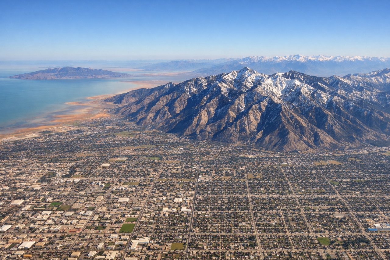
RIGHTDeparting SLC on the north-south runways, the aircraft turns east toward Wyoming, putting the steep front range of the Wasatch Mountains directly on the right side during the initial climb. The valley floor and Great Salt Lake recede quickly to the left, offering less drama.
Landing at LHR
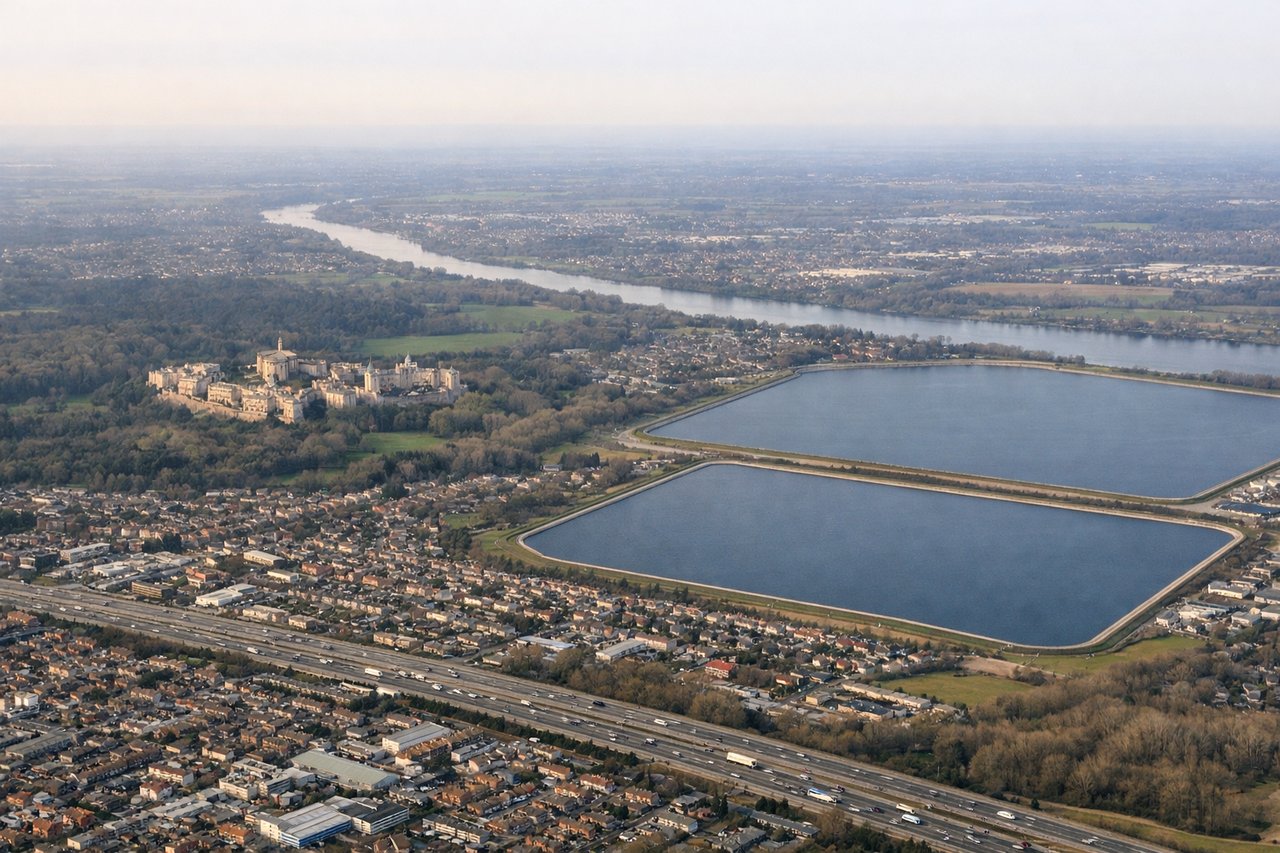
RIGHTOn a typical westerly approach into Heathrow, arriving aircraft descend from the east over the London area before turning onto final for 27L/27R. This flight path commonly keeps the Thames, Canary Wharf, and the City skyline visible on the right side of the cabin during descent.
Landmarks on this routeAll landmarks →
Will your flight be in sunlight?
See exactly which side of the plane gets sun and shade at your departure time.
About This Route
Which side of the plane should I sit on flying from Salt Lake City International (SLC) to Heathrow (LHR)?
Sit on the Right side of the plane for the best views on flights from Salt Lake City to London. The right side captures the Wasatch Mountains on departure, likely glimpses of Rocky Mountain terrain and Canadian wilderness during the turn north, and a strong finish with London's river and skyline on arrival, giving it more consistent scenic interest than the largely featureless plains and open Atlantic seen from the left.
What can I see during takeoff from Salt Lake City International in Salt Lake City?
During takeoff from Salt Lake City International (SLC), sit on the Right side for the best views. Departing SLC on the north-south runways, the aircraft turns east toward Wyoming, putting the steep front range of the Wasatch Mountains directly on the right side during the initial climb. The valley floor and Great Salt Lake recede quickly to the left, offering less drama. Notable sights include: Wasatch Range, Salt Lake Valley, Great Salt Lake in the distance.
What can I see when landing at Heathrow in London?
When landing at Heathrow (LHR), sit on the Right side for the best views. On a typical westerly approach into Heathrow, arriving aircraft descend from the east over the London area before turning onto final for 27L/27R. This flight path commonly keeps the Thames, Canary Wharf, and the City skyline visible on the right side of the cabin during descent. Notable sights include: River Thames, Canary Wharf towers, City of London skyline, Isle of Dogs bend in the river.
How long is the flight from Salt Lake City to London?
The flight from Salt Lake City International (SLC) to Heathrow (LHR) takes 8h 45m.
What does the Salt Lake City to London flight path pass over?
Northern Canadian wilderness including Hudson Bay's southern edge, followed by a long stretch of open North Atlantic Ocean with possible distant views of southern Greenland's coastal ice if the routing tracks far enough north.