While takeoff offers Pearl Harbor's unique naval geometry, the landing approach into Salt Lake City provides more dramatic and sustained scenery: the Great Salt Lake, the Wasatch Range's impressive peaks, and the valley geography create a more visually rewarding final hour. Left-side seats capture this better.
Flight Path
The flight path crosses the Pacific, then inland over Nevada and Utah. Notable features include the Sierra Nevada range (visible on approach to California airspace), the Great Basin's sparse terrain, and the Bonneville Salt Flats (bright white expanse visible on clear days south of the Great Salt Lake during descent into SLC). The Uinta Mountains appear on the eastern approach to Salt Lake City.
Great circle distance and headings ›


Phase by phase
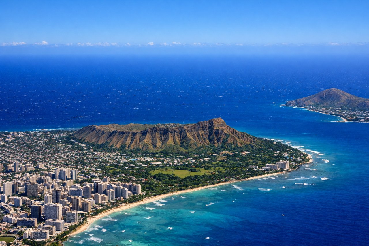
Takeoff from HNL
RIGHTRight-side seats capture the West Loch and Pearl Harbor complex during the initial climb-out. Honolulu typically departs runway 08L/08R (eastbound), so right-side windows face north toward the harbor and Waianae Range.
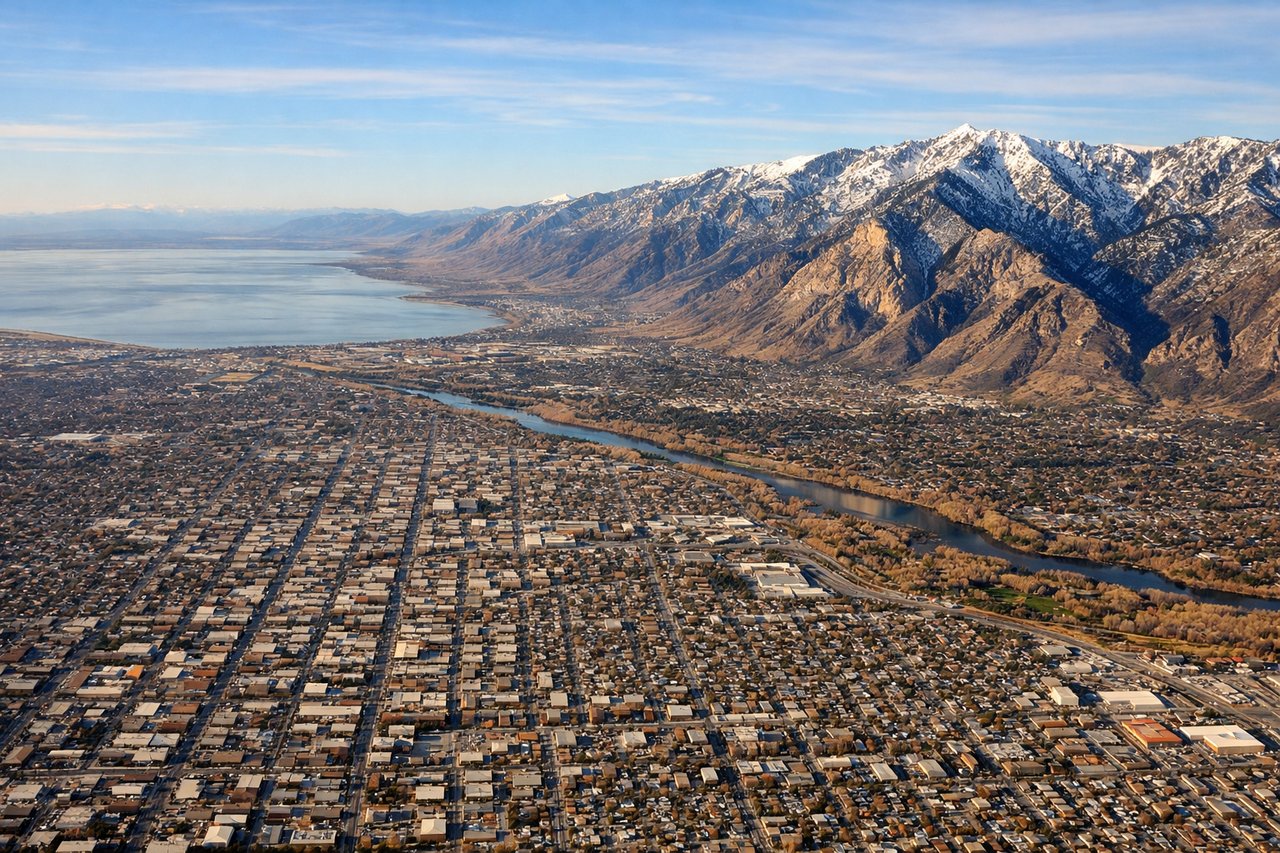
Landing at SLC
LEFTLeft-side seats offer the best approach view into Salt Lake City. SLC typically lands runway 16L/16R (southbound) or 34L/34R (northbound). On northbound approaches (more common), left windows face west toward the Oquirrh and Wasatch ranges, the Great Salt Lake, and the city itself.
Landmarks on this routeAll landmarks →
Will your flight be in sunlight?
See exactly which side of the plane gets sun and shade at your departure time.
About This Route
Which side of the plane should I sit on flying from Honolulu International (HNL) to Salt Lake City International (SLC)?
Sit on the Left side of the plane for the best views on flights from Honolulu to Salt Lake City. While takeoff offers Pearl Harbor's unique naval geometry, the landing approach into Salt Lake City provides more dramatic and sustained scenery: the Great Salt Lake, the Wasatch Range's impressive peaks, and the valley geography create a more visually rewarding final hour. Left-side seats capture this better.
What can I see during takeoff from Honolulu International in Honolulu?
During takeoff from Honolulu International (HNL), sit on the Right side for the best views. Right-side seats capture the West Loch and Pearl Harbor complex during the initial climb-out. Honolulu typically departs runway 08L/08R (eastbound), so right-side windows face north toward the harbor and Waianae Range. Notable sights include: Pearl Harbor (visible as geometric water basins and naval vessels), West Loch, Waianae Mountain Range (northwest backdrop), Honolulu city grid (southeast).
What can I see when landing at Salt Lake City International in Salt Lake City?
When landing at Salt Lake City International (SLC), sit on the Left side for the best views. Left-side seats offer the best approach view into Salt Lake City. SLC typically lands runway 16L/16R (southbound) or 34L/34R (northbound). On northbound approaches (more common), left windows face west toward the Oquirrh and Wasatch ranges, the Great Salt Lake, and the city itself. Notable sights include: Great Salt Lake (massive inland water body, distinctive irregular shoreline), Wasatch Range (eastern wall of mountains), Oquirrh Range (western mountains), Salt Lake City urban area (grid pattern in valley floor).
How long is the flight from Honolulu to Salt Lake City?
The flight from Honolulu International (HNL) to Salt Lake City International (SLC) takes Approximately 5 hours 15 minutes.
What does the Honolulu to Salt Lake City flight path pass over?
The flight path crosses the Pacific, then inland over Nevada and Utah. Notable features include the Sierra Nevada range (visible on approach to California airspace), the Great Basin's sparse terrain, and the Bonneville Salt Flats (bright white expanse visible on clear days south of the Great Salt Lake during descent into SLC). The Uinta Mountains appear on the eastern approach to Salt Lake City.