While landing views on the left are strong, the takeoff views on the right side of Tampa Bay and the Gulf Coast are more visually distinctive and sustained during climb-out. The right side offers the better overall scenic experience for this route.
Flown TPA to DET? Did we get it right?
Flight Path
Tampa to Detroit is 998 miles (1,606 km), a flight of about 2 hours 55 minutes.
The flight path crosses central Florida and Georgia. Notable features include the Florida peninsula's interior lakes and wetlands, the transition from Florida's flat terrain to Georgia's gently rolling landscape, and the Chattahoochee River valley as you approach the northern portion of the route. The flight typically passes east of Atlanta, so you may see the city's sprawl in the distance depending on exact routing. As you approach Michigan, the landscape transitions to the Great Lakes region with increasing water features and the beginning of the more densely forested terrain of the upper Midwest.
Great circle distance and headings ›Phase by phase
Takeoff from TPA
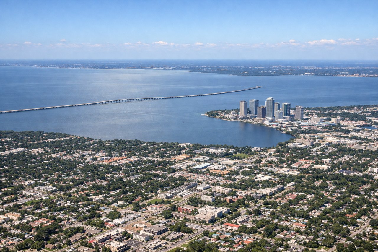
RIGHTRight-side seats offer views of Tampa Bay and the Gulf of Mexico coastline as the aircraft climbs northward. You'll see the bay's distinctive shape and barrier islands clearly during the initial climb-out.
Landing at DET
LEFTLeft-side seats provide excellent views during the descent approach into Detroit City Airport. You'll see the Detroit River, Windsor Ontario across the border, and the city's downtown skyline as you descend toward the runway.
Will your flight be in sunlight?
Pick a date and time in the Sun Map to watch the sun move across your whole flight.
About This Route
Which side of the plane should I sit on flying from Tampa International (TPA) to Detroit City (DET)?
Sit on the Right side of the plane for the best views on flights from Tampa to Detroit. While landing views on the left are strong, the takeoff views on the right side of Tampa Bay and the Gulf Coast are more visually distinctive and sustained during climb-out. The right side offers the better overall scenic experience for this route.
What can I see during takeoff from Tampa International in Tampa?
During takeoff from Tampa International (TPA), sit on the Right side for the best views. Right-side seats offer views of Tampa Bay and the Gulf of Mexico coastline as the aircraft climbs northward. You'll see the bay's distinctive shape and barrier islands clearly during the initial climb-out. Notable sights include: Tampa Bay, Hillsborough Bay, Gulf of Mexico coastline, Pinellas Peninsula barrier islands.
What can I see when landing at Detroit City in Detroit?
When landing at Detroit City (DET), sit on the Left side for the best views. Left-side seats provide excellent views during the descent approach into Detroit City Airport. You'll see the Detroit River, Windsor Ontario across the border, and the city's downtown skyline as you descend toward the runway. Notable sights include: Detroit River, Windsor Ontario skyline, Lake St. Clair, Detroit downtown district.
How long is the flight from Tampa to Detroit?
The flight from Tampa International (TPA) to Detroit City (DET) takes about 2 hours 55 minutes. The shortest flight path between them is 998 miles (1,606 km); winds and air traffic control usually add a few percent.
What does the Tampa to Detroit flight path pass over?
The flight path crosses central Florida and Georgia. Notable features include the Florida peninsula's interior lakes and wetlands, the transition from Florida's flat terrain to Georgia's gently rolling landscape, and the Chattahoochee River valley as you approach the northern portion of the route. The flight typically passes east of Atlanta, so you may see the city's sprawl in the distance depending on exact routing. As you approach Michigan, the landscape transitions to the Great Lakes region with increasing water features and the beginning of the more densely forested terrain of the upper Midwest.