The left side consistently offers the more dramatic Andean scenery, from Ecuador's volcanic peaks at takeoff to the desert foothills near Lima at landing, while the right side is dominated by comparatively flat coastal and oceanic views for most of the flight.
Flown UIO to LIM? Did we get it right?
Flight Path
Quito to Lima is 826 miles (1,330 km), a flight of about 1 hour 50 minutes.
Northern Peruvian Andes foothills, the arid Pacific coastal strip of Peru, and occasional glimpses of the Gulf of Guayaquil area shortly after departure
Great circle distance and headings ›


Phase by phase

Takeoff from UIO
LEFTDeparting Quito on runway 18 climbs south along the Andean corridor, and the left (east) side offers views of the snow-capped volcanic cordillera including Cotopaxi and Antisana rising above the valley. The right side mostly shows the lower western slopes and the coastal lowlands beyond, which are far less dramatic.
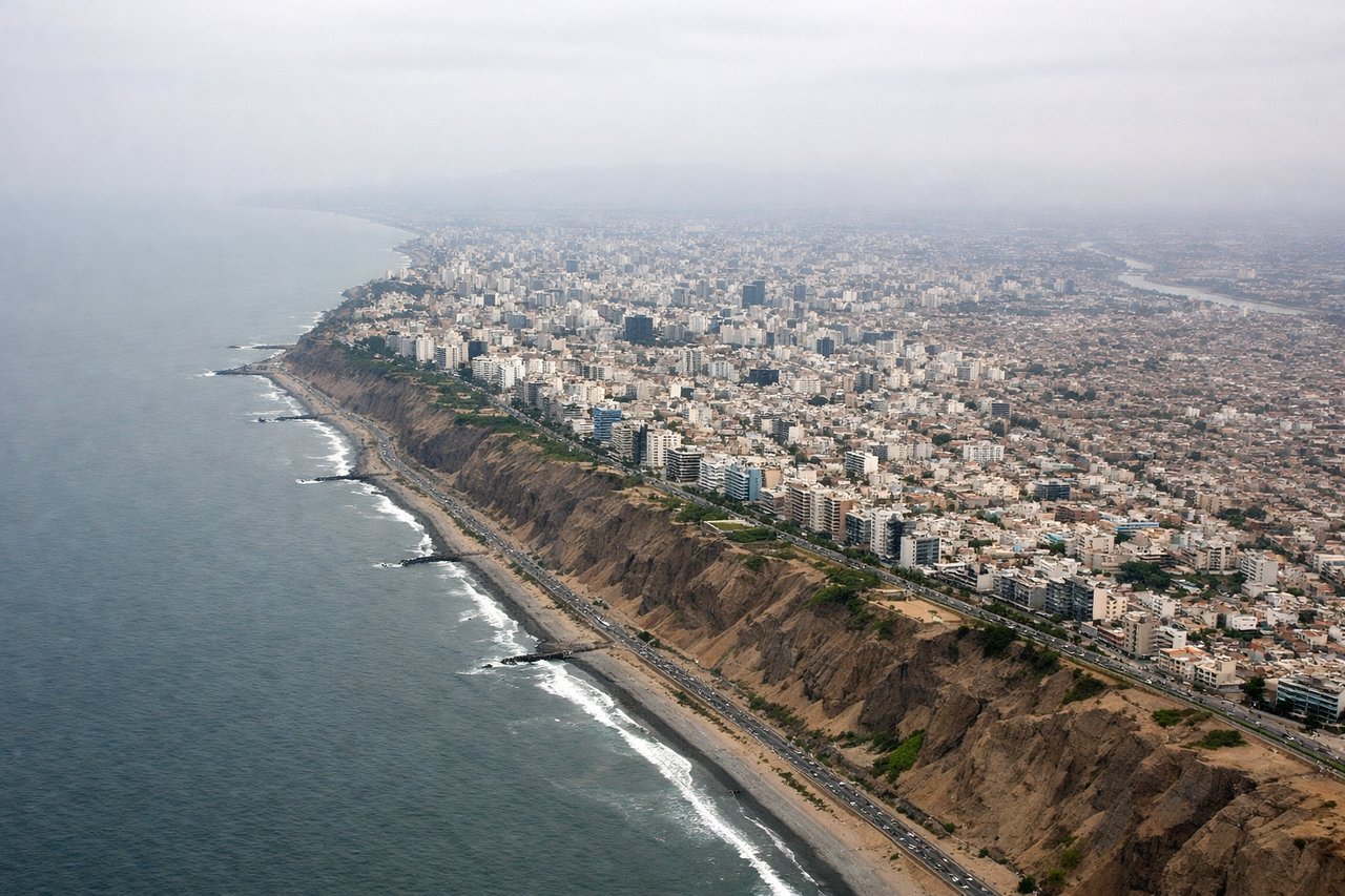
Landing at LIM
LEFTOn approach into Lima heading south along the coast, the left (east) side reveals the dry Andean foothills and desert canyons meeting the coastal plain, giving a sense of terrain contrast as the plane descends. The right side is dominated by the flat Pacific horizon with little variation until the final turn.
Will your flight be in sunlight?
Pick a date and time in the Sun Map to watch the sun move across your whole flight.
About This Route
Which side of the plane should I sit on flying from Mariscal Sucre International Airport (UIO) to Jorge Chávez International Airport (LIM)?
Sit on the Left side of the plane for the best views on flights from Quito to Lima. The left side consistently offers the more dramatic Andean scenery, from Ecuador's volcanic peaks at takeoff to the desert foothills near Lima at landing, while the right side is dominated by comparatively flat coastal and oceanic views for most of the flight.
What can I see during takeoff from Mariscal Sucre International Airport in Quito?
During takeoff from Mariscal Sucre International Airport (UIO), sit on the Left side for the best views. Departing Quito on runway 18 climbs south along the Andean corridor, and the left (east) side offers views of the snow-capped volcanic cordillera including Cotopaxi and Antisana rising above the valley. The right side mostly shows the lower western slopes and the coastal lowlands beyond, which are far less dramatic. Notable sights include: Cotopaxi volcano, Antisana volcano, Quito's valley terrain, Andean eastern cordillera.
What can I see when landing at Jorge Chávez International Airport in Lima?
When landing at Jorge Chávez International Airport (LIM), sit on the Left side for the best views. On approach into Lima heading south along the coast, the left (east) side reveals the dry Andean foothills and desert canyons meeting the coastal plain, giving a sense of terrain contrast as the plane descends. The right side is dominated by the flat Pacific horizon with little variation until the final turn. Notable sights include: Andean foothills east of Lima, desert canyons, Rimac river valley, Lima's eastern districts.
How long is the flight from Quito to Lima?
The flight from Mariscal Sucre International Airport (UIO) to Jorge Chávez International Airport (LIM) takes about 1 hour 50 minutes. The shortest flight path between them is 826 miles (1,330 km); winds and air traffic control usually add a few percent.
What does the Quito to Lima flight path pass over?
Northern Peruvian Andes foothills, the arid Pacific coastal strip of Peru, and occasional glimpses of the Gulf of Guayaquil area shortly after departure