While left offers good takeoff scenery from Efate, the right side dominates the longer descent and approach into Nadi with more visually distinctive features including the river delta, coastal formations, and airport infrastructure. The approach phase provides more sustained viewing time than the brief climb-out.
Flown VLI to NAN? Did we get it right?
Flight Path
Port Vila to Nandi is 600 miles (966 km), a flight of about 2 hours 15 minutes.
The flight crosses the Fiji Sea between Vanuatu and Fiji. Notable features along the route include the open ocean with occasional scattered islands from the New Hebrides chain visible on the left during the first hour, and the gradual approach to Fiji's western islands including Yasawa Group and Mamanuca Group appearing on the right side during descent. Viti Levu's mountainous interior becomes visible approximately 30 minutes before landing, with the western lowlands and Nadi region emerging as the primary landmark during final approach.
Great circle distance and headings ›

Phase by phase
Takeoff from VLI
LEFTLeft side offers views of Efate Island's interior ridges and the Port Vila coastal settlement as you climb out. Right side faces open ocean with minimal visual interest during the initial climb.
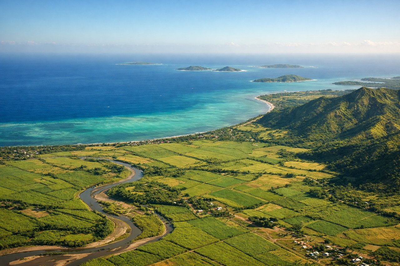
Landing at NAN
RIGHTRight side provides views of Viti Levu's western coast and the approach into Nadi, including the Nadi River delta and surrounding lowlands. Left side faces the open Fiji Sea with no significant landmarks during descent.
Will your flight be in sunlight?
Pick a date and time in the Sun Map to watch the sun move across your whole flight.
About This Route
Which side of the plane should I sit on flying from Port Vila Bauerfield (VLI) to Nadi International (NAN)?
Sit on the Right side of the plane for the best views on flights from Port Vila to Nandi. While left offers good takeoff scenery from Efate, the right side dominates the longer descent and approach into Nadi with more visually distinctive features including the river delta, coastal formations, and airport infrastructure. The approach phase provides more sustained viewing time than the brief climb-out.
What can I see during takeoff from Port Vila Bauerfield in Port Vila?
During takeoff from Port Vila Bauerfield (VLI), sit on the Left side for the best views. Left side offers views of Efate Island's interior ridges and the Port Vila coastal settlement as you climb out. Right side faces open ocean with minimal visual interest during the initial climb. Notable sights include: Efate Island's central ridge system, Port Vila harbor and waterfront, Shefa Province coastline, coral reef formations along the eastern shore.
What can I see when landing at Nadi International in Nandi?
When landing at Nadi International (NAN), sit on the Right side for the best views. Right side provides views of Viti Levu's western coast and the approach into Nadi, including the Nadi River delta and surrounding lowlands. Left side faces the open Fiji Sea with no significant landmarks during descent. Notable sights include: Viti Levu's western coastline, Nadi River delta and mangrove flats, Nadi town and airport infrastructure, coral reef systems along the coast.
How long is the flight from Port Vila to Nandi?
The flight from Port Vila Bauerfield (VLI) to Nadi International (NAN) takes about 2 hours 15 minutes. The shortest flight path between them is 600 miles (966 km); winds and air traffic control usually add a few percent.
What does the Port Vila to Nandi flight path pass over?
The flight crosses the Fiji Sea between Vanuatu and Fiji. Notable features along the route include the open ocean with occasional scattered islands from the New Hebrides chain visible on the left during the first hour, and the gradual approach to Fiji's western islands including Yasawa Group and Mamanuca Group appearing on the right side during descent. Viti Levu's mountainous interior becomes visible approximately 30 minutes before landing, with the western lowlands and Nadi region emerging as the primary landmark during final approach.