Wuhan to Shanghai is 423 miles (680 km), a flight of about 1 hour 15 minutes.
Right-side seats deliver superior views on both legs. Departure offers the Yangtze's dramatic curve and Wuhan's urban-water interface; arrival captures the Huangpu-Yangtze confluence and Pudong's skyline during descent. The route's geography favors right-side seating throughout.
Flight Path
The flight path crosses the Anhui plain between Wuhan and Shanghai, passing roughly over Anqing and Chizhou regions. The terrain is predominantly flat agricultural land with scattered lakes and minor river systems (tributaries of the Yangtze). No major mountain ranges cross the direct route. The Yangtze River itself remains visible for much of the flight, running roughly parallel to the flight path as it flows northeast toward Shanghai. Visibility of ground features depends heavily on atmospheric conditions; the Yangtze Delta region frequently experiences haze from industrial activity and moisture.
Great circle distance and headings ›.jpg?width=600)

Phase by phase
Takeoff from WUH
RIGHTRight-side seats capture the Yangtze River's dramatic eastward bend as it flows past Wuhan's urban core during initial climb. The river's scale and the contrast between water and dense city development create the most visually compelling departure sequence.
Landing at SHA
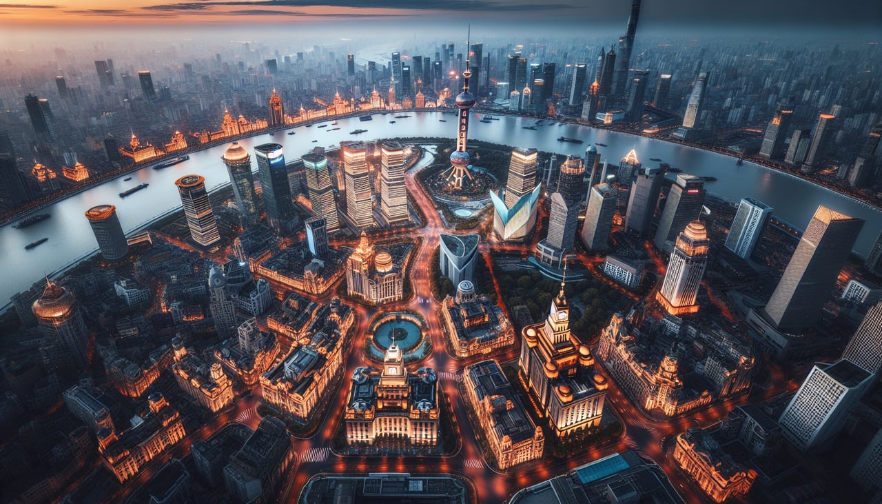
LEFTLeft-side seats offer superior views during approach to Hongqiao. Depending on runway assignment (typically 09L/09R or 27L/27R), left seats capture the Huangpu River's confluence with the Yangtze and Shanghai's Pudong skyline during descent. The urban-water contrast is dramatic from 8,000-3,000 feet.
Landmarks on this routeAll landmarks →
Will your flight be in sunlight?
Pick a date and time in the Sun Map to watch the sun move across your whole flight.
About This Route
Which side of the plane should I sit on flying from Tianhe (WUH) to Hongqiao International (SHA)?
Sit on the Right side of the plane for the best views on flights from Wuhan to Shanghai. Right-side seats deliver superior views on both legs. Departure offers the Yangtze's dramatic curve and Wuhan's urban-water interface; arrival captures the Huangpu-Yangtze confluence and Pudong's skyline during descent. The route's geography favors right-side seating throughout.
What can I see during takeoff from Tianhe in Wuhan?
During takeoff from Tianhe (WUH), sit on the Right side for the best views. Right-side seats capture the Yangtze River's dramatic eastward bend as it flows past Wuhan's urban core during initial climb. The river's scale and the contrast between water and dense city development create the most visually compelling departure sequence. Notable sights include: Yangtze River (main channel curving east), Wuhan urban sprawl (Hankou and Wuchang districts), East Lake (visible as large water body southeast of city center), Dabie Mountains (distant ridge on western horizon).
What can I see when landing at Hongqiao International in Shanghai?
When landing at Hongqiao International (SHA), sit on the Left side for the best views. Left-side seats offer superior views during approach to Hongqiao. Depending on runway assignment (typically 09L/09R or 27L/27R), left seats capture the Huangpu River's confluence with the Yangtze and Shanghai's Pudong skyline during descent. The urban-water contrast is dramatic from 8,000-3,000 feet. Notable sights include: Huangpu River (main waterway through Shanghai), Pudong skyline (Oriental Pearl Tower and financial district), Yangtze River estuary (broad water expanse north of city), Hangzhou Bay (visible as open water to the south on clear days).
How long is the flight from Wuhan to Shanghai?
The flight from Tianhe (WUH) to Hongqiao International (SHA) takes about 1 hour 15 minutes. The shortest flight path between them is 423 miles (680 km); winds and air traffic control usually add a few percent.
What does the Wuhan to Shanghai flight path pass over?
The flight path crosses the Anhui plain between Wuhan and Shanghai, passing roughly over Anqing and Chizhou regions. The terrain is predominantly flat agricultural land with scattered lakes and minor river systems (tributaries of the Yangtze). No major mountain ranges cross the direct route. The Yangtze River itself remains visible for much of the flight, running roughly parallel to the flight path as it flows northeast toward Shanghai. Visibility of ground features depends heavily on atmospheric conditions; the Yangtze Delta region frequently experiences haze from industrial activity and moisture.