Left side scores higher due to the superior Toronto waterfront and Lake Ontario departure sequence (3.5 vs 2.5 for right). While the landing approach favors the right side with Andean drama, the takeoff experience from YTZ is more visually compelling and iconic than the Quito descent. The full flight duration includes substantial cruise over the Caribbean and Central America where neither side offers exceptional scenery, making the departure and arrival sequences the primary differentiators. Left side's Lake Ontario and Toronto skyline views during takeoff provide more recognizable urban and natural landmarks than right side's inland suburban perspective.
Flown YTZ to UIO? Did we get it right?
Flight Path
Toronto to Quito is 3,024 miles (4,866 km), a flight of about 5 hours 15 minutes.
Caribbean Sea (open water with minimal landmarks for 3+ hours), Yucatan Peninsula and Belize coastline (if visible during cruise at altitude), Central American highlands including Guatemala's volcanic ridge, Lake Atitlan region, and the transition into Colombian and Ecuadorian Andes as the aircraft approaches the equator. The flight path generally tracks southwest over the Gulf of Mexico, Caribbean, and Central America before descending into the Ecuadorian highlands.
Great circle distance and headings ›Phase by phase
Takeoff from YTZ
LEFTLeft side captures Toronto's waterfront and Lake Ontario during initial climb, with the city skyline and harbor visible before the aircraft turns south. Right side faces inland toward flat suburban sprawl with minimal visual interest.
Landing at UIO
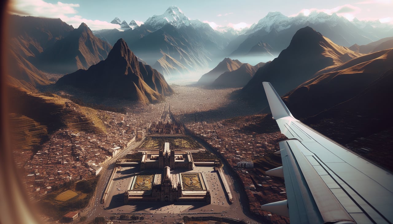
RIGHTRight side offers the dramatic Andean approach to Quito. As the aircraft descends into the valley from the north on runway 36, the right side faces the eastern Cordillera ridge with volcanic peaks and the high-altitude basin. Left side sees the western ridge but with less dramatic relief and fewer recognizable volcanic features during final approach.
Will your flight be in sunlight?
Pick a date and time in the Sun Map to watch the sun move across your whole flight.
About This Route
Which side of the plane should I sit on flying from City Centre (YTZ) to Mariscal Sucre International Airport (UIO)?
Sit on the Left side of the plane for the best views on flights from Toronto to Quito. Left side scores higher due to the superior Toronto waterfront and Lake Ontario departure sequence (3.5 vs 2.5 for right). While the landing approach favors the right side with Andean drama, the takeoff experience from YTZ is more visually compelling and iconic than the Quito descent. The full flight duration includes substantial cruise over the Caribbean and Central America where neither side offers exceptional scenery, making the departure and arrival sequences the primary differentiators. Left side's Lake Ontario and Toronto skyline views during takeoff provide more recognizable urban and natural landmarks than right side's inland suburban perspective.
What can I see during takeoff from City Centre in Toronto?
During takeoff from City Centre (YTZ), sit on the Left side for the best views. Left side captures Toronto's waterfront and Lake Ontario during initial climb, with the city skyline and harbor visible before the aircraft turns south. Right side faces inland toward flat suburban sprawl with minimal visual interest. Notable sights include: Lake Ontario shoreline, Toronto downtown skyline and CN Tower, Toronto Islands, Lake Ontario extending to the horizon.
What can I see when landing at Mariscal Sucre International Airport in Quito?
When landing at Mariscal Sucre International Airport (UIO), sit on the Right side for the best views. Right side offers the dramatic Andean approach to Quito. As the aircraft descends into the valley from the north on runway 36, the right side faces the eastern Cordillera ridge with volcanic peaks and the high-altitude basin. Left side sees the western ridge but with less dramatic relief and fewer recognizable volcanic features during final approach. Notable sights include: Pichincha volcano (western ridge), Cotopaxi volcano (visible on clear days to the south), Quito's high-altitude urban basin at 9,350 feet elevation, Andean ridgelines framing the valley.
How long is the flight from Toronto to Quito?
The flight from City Centre (YTZ) to Mariscal Sucre International Airport (UIO) takes about 5 hours 15 minutes. The shortest flight path between them is 3,024 miles (4,866 km); winds and air traffic control usually add a few percent.
What does the Toronto to Quito flight path pass over?
Caribbean Sea (open water with minimal landmarks for 3+ hours), Yucatan Peninsula and Belize coastline (if visible during cruise at altitude), Central American highlands including Guatemala's volcanic ridge, Lake Atitlan region, and the transition into Colombian and Ecuadorian Andes as the aircraft approaches the equator. The flight path generally tracks southwest over the Gulf of Mexico, Caribbean, and Central America before descending into the Ecuadorian highlands.