While takeoff favors the right side with island and strait views, the left side dominates the much longer cruise and descent phases, offering repeated sightings of the Cascade volcanoes—Mount Baker, Mount Rainier, Mount St Helens, and Mount Hood—which are the most visually striking features on this short route.
Flown YVR to PDX? Did we get it right?
Flight Path
Vancouver to Portland is 251 miles (403 km), a flight of about 1 hour 15 minutes.
Cascade Range volcanoes including Mount Baker, Mount Rainier, and Mount St Helens; Puget Sound lowlands; Columbia River near the Oregon-Washington border
Great circle distance and headings ›


Phase by phase
Takeoff from YVR
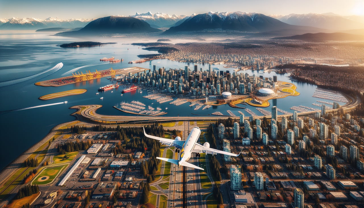
RIGHTDeparting YVR to the west under prevailing winds, the initial climb crosses the Strait of Georgia with the Gulf Islands and southern tip of Vancouver Island visible off the west side before the aircraft banks south. The right side also catches a last look at the Fraser River delta and Vancouver's waterfront.
Landing at PDX
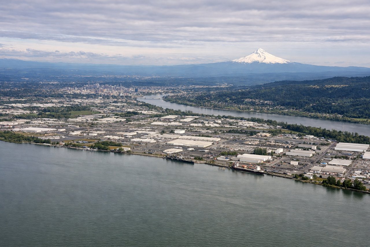
LEFTOn approach to PDX from the north, the descent path runs along the east side of the Willamette Valley, giving left-side passengers a clear view of Mount St Helens and Mount Hood's snow-capped cone before the final turn over the Columbia River. This is a far more dramatic sequence than the flat valley farmland visible on the right.
Will your flight be in sunlight?
Pick a date and time in the Sun Map to watch the sun move across your whole flight.
About This Route
Which side of the plane should I sit on flying from Vancouver International (YVR) to Portland International (PDX)?
Sit on the Left side of the plane for the best views on flights from Vancouver to Portland. While takeoff favors the right side with island and strait views, the left side dominates the much longer cruise and descent phases, offering repeated sightings of the Cascade volcanoes—Mount Baker, Mount Rainier, Mount St Helens, and Mount Hood—which are the most visually striking features on this short route.
What can I see during takeoff from Vancouver International in Vancouver?
During takeoff from Vancouver International (YVR), sit on the Right side for the best views. Departing YVR to the west under prevailing winds, the initial climb crosses the Strait of Georgia with the Gulf Islands and southern tip of Vancouver Island visible off the west side before the aircraft banks south. The right side also catches a last look at the Fraser River delta and Vancouver's waterfront. Notable sights include: Strait of Georgia, Gulf Islands, Fraser River delta, Vancouver waterfront.
What can I see when landing at Portland International in Portland?
When landing at Portland International (PDX), sit on the Left side for the best views. On approach to PDX from the north, the descent path runs along the east side of the Willamette Valley, giving left-side passengers a clear view of Mount St Helens and Mount Hood's snow-capped cone before the final turn over the Columbia River. This is a far more dramatic sequence than the flat valley farmland visible on the right. Notable sights include: Mount Hood, Mount St Helens, Columbia River, Willamette Valley.
How long is the flight from Vancouver to Portland?
The flight from Vancouver International (YVR) to Portland International (PDX) takes about 1 hour 15 minutes. The shortest flight path between them is 251 miles (403 km); winds and air traffic control usually add a few percent.
What does the Vancouver to Portland flight path pass over?
Cascade Range volcanoes including Mount Baker, Mount Rainier, and Mount St Helens; Puget Sound lowlands; Columbia River near the Oregon-Washington border