While takeoff favors the right for mountain views, the landing approach over Lake Ontario and the Greater Toronto Area from the left side is more visually rewarding and geographically significant for the majority of the flight's eastern half.
Flight Path
The flight path crosses the Canadian prairies (Saskatchewan and Manitoba) with minimal elevation change—flat terrain with scattered lakes and agricultural patterns. The Great Lakes region becomes visible in the final hour, with Lake Superior briefly visible to the north around the 2-hour mark if flying at altitude, though typically not the primary focus. The transition from prairie to the Canadian Shield occurs gradually over Ontario, marked by increasing forest coverage and lake density. No major mountain ranges are crossed after leaving the Rockies; the terrain gradually descends toward sea level as you approach the Great Lakes.
Great circle distance and headings ›
Phase by phase
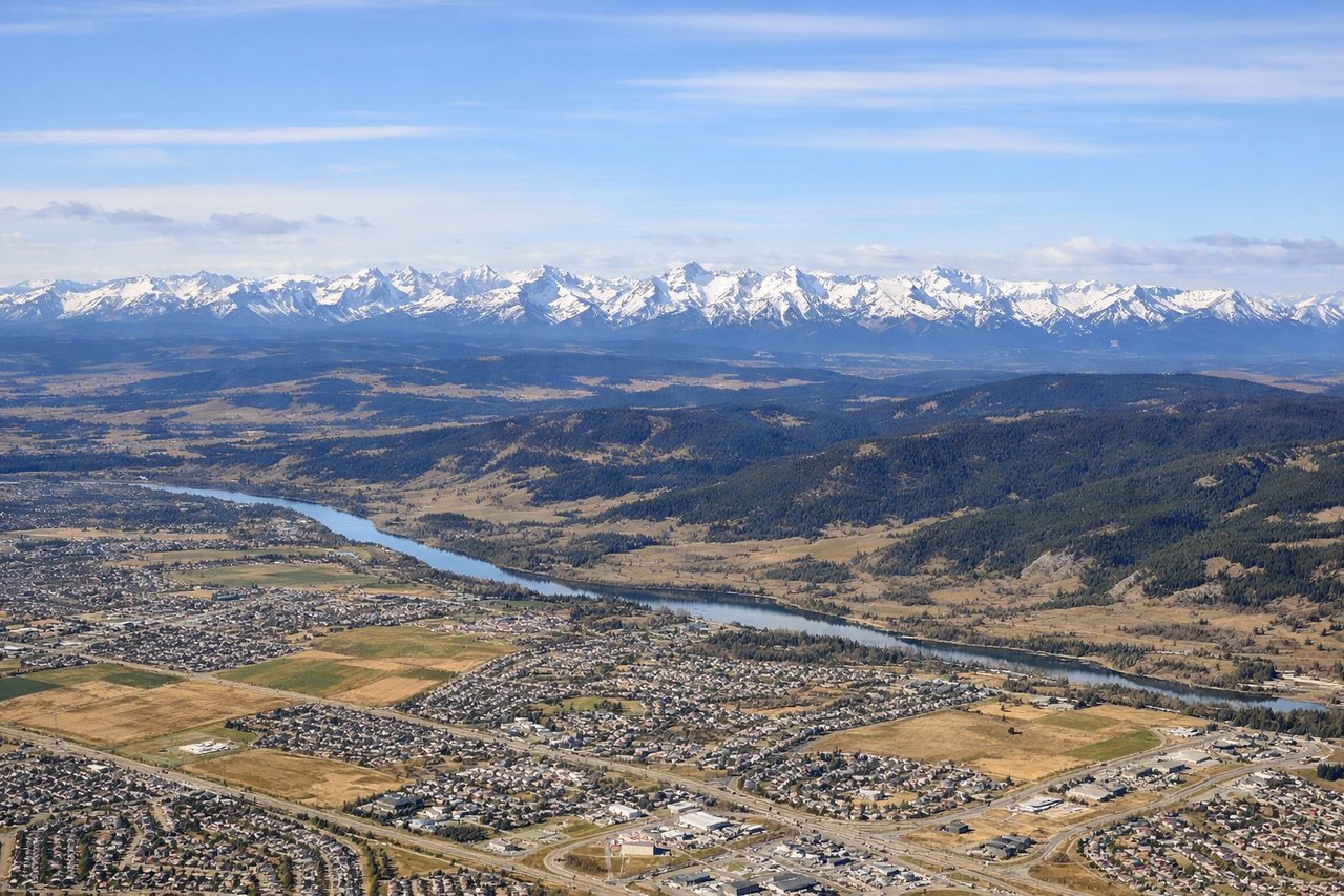
Takeoff from YYC
RIGHTRight-side seats capture the Rocky Mountain front as you climb eastbound. The mountains rise dramatically to the west, and banking right during initial climb gives extended views of the range receding behind the aircraft.
Landing at YHM
LEFTLeft-side seats offer views of Lake Ontario and the Greater Toronto Area's urban sprawl as you descend toward Hamilton. The lake dominates the approach, and left seats provide the clearest sightline to this major geographic feature during final descent.
Landmarks on this routeAll landmarks →
Will your flight be in sunlight?
See exactly which side of the plane gets sun and shade at your departure time.
About This Route
Which side of the plane should I sit on flying from Calgary International (YYC) to Hamilton (YHM)?
Sit on the Left side of the plane for the best views on flights from Calgary to Hamilton. While takeoff favors the right for mountain views, the landing approach over Lake Ontario and the Greater Toronto Area from the left side is more visually rewarding and geographically significant for the majority of the flight's eastern half.
What can I see during takeoff from Calgary International in Calgary?
During takeoff from Calgary International (YYC), sit on the Right side for the best views. Right-side seats capture the Rocky Mountain front as you climb eastbound. The mountains rise dramatically to the west, and banking right during initial climb gives extended views of the range receding behind the aircraft. Notable sights include: Rocky Mountains (Canadian Front Ranges), Bow River valley, Calgary city grid, Nose Hill Park.
What can I see when landing at Hamilton in Hamilton?
When landing at Hamilton (YHM), sit on the Left side for the best views. Left-side seats offer views of Lake Ontario and the Greater Toronto Area's urban sprawl as you descend toward Hamilton. The lake dominates the approach, and left seats provide the clearest sightline to this major geographic feature during final descent. Notable sights include: Lake Ontario, Toronto skyline (distant), Niagara Escarpment, Hamilton Harbour.
How long is the flight from Calgary to Hamilton?
The flight from Calgary International (YYC) to Hamilton (YHM) takes Approximately 3 hours 45 minutes.
What does the Calgary to Hamilton flight path pass over?
The flight path crosses the Canadian prairies (Saskatchewan and Manitoba) with minimal elevation change—flat terrain with scattered lakes and agricultural patterns. The Great Lakes region becomes visible in the final hour, with Lake Superior briefly visible to the north around the 2-hour mark if flying at altitude, though typically not the primary focus. The transition from prairie to the Canadian Shield occurs gradually over Ontario, marked by increasing forest coverage and lake density. No major mountain ranges are crossed after leaving the Rockies; the terrain gradually descends toward sea level as you approach the Great Lakes.