The right side strings together Toronto's skyline on departure, dramatic Arctic and Siberian terrain during the polar cruise, and a mountainous, coastal descent into Taipei — while the left side spends most of the flight over featureless open ocean and ice.
Flight Path
The great-circle route climbs over Hudson Bay and Baffin Island, crosses the Arctic Ocean pack ice near its highest latitude, then descends through Siberia's East Siberian Sea coast and the Kamchatka Peninsula's volcanic cordillera before curving south over the Sea of Japan and Korea toward the East China Sea.
Great circle distance and headings ›Phase by phase
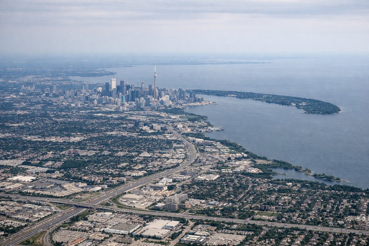
Takeoff from YYZ
RIGHTDepartures from YYZ heading toward the polar routing typically bank north with the city on the right, giving a clear view of downtown Toronto's skyline and Lake Ontario's shoreline before the aircraft settles onto its northbound track over the Canadian Shield.
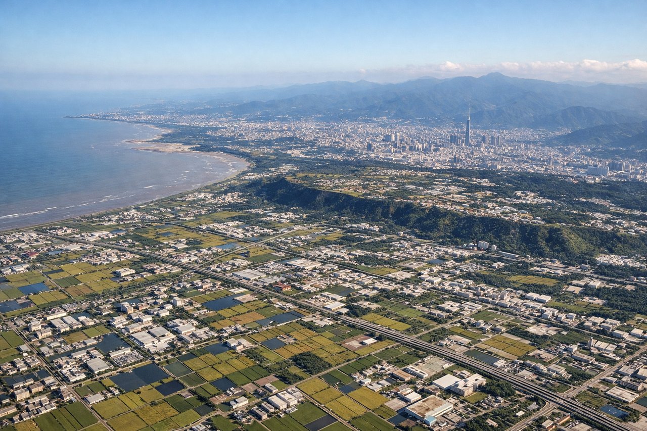
Landing at TPE
RIGHTOn approach into Taoyuan from the north, the right side faces inland toward Taipei's basin and the volcanic peaks of Yangmingshan, while the coastline and Taiwan Strait remain visible in the distance, giving a much richer view than the open-water side.
Will your flight be in sunlight?
See exactly which side of the plane gets sun and shade at your departure time.
About This Route
Which side of the plane should I sit on flying from Lester B Pearson International (YYZ) to Chiang Kai Shek International (TPE)?
Sit on the Right side of the plane for the best views on flights from Toronto to Taipei. The right side strings together Toronto's skyline on departure, dramatic Arctic and Siberian terrain during the polar cruise, and a mountainous, coastal descent into Taipei — while the left side spends most of the flight over featureless open ocean and ice.
What can I see during takeoff from Lester B Pearson International in Toronto?
During takeoff from Lester B Pearson International (YYZ), sit on the Right side for the best views. Departures from YYZ heading toward the polar routing typically bank north with the city on the right, giving a clear view of downtown Toronto's skyline and Lake Ontario's shoreline before the aircraft settles onto its northbound track over the Canadian Shield. Notable sights include: CN Tower and downtown Toronto skyline, Toronto Islands, Lake Ontario shoreline, Lake Simcoe further north.
What can I see when landing at Chiang Kai Shek International in Taipei?
When landing at Chiang Kai Shek International (TPE), sit on the Right side for the best views. On approach into Taoyuan from the north, the right side faces inland toward Taipei's basin and the volcanic peaks of Yangmingshan, while the coastline and Taiwan Strait remain visible in the distance, giving a much richer view than the open-water side. Notable sights include: Yangmingshan volcanic peaks, Taipei basin, Taiwan Strait coastline, Central Mountain Range foothills.
How long is the flight from Toronto to Taipei?
The flight from Lester B Pearson International (YYZ) to Chiang Kai Shek International (TPE) takes 14h 40m.
What does the Toronto to Taipei flight path pass over?
The great-circle route climbs over Hudson Bay and Baffin Island, crosses the Arctic Ocean pack ice near its highest latitude, then descends through Siberia's East Siberian Sea coast and the Kamchatka Peninsula's volcanic cordillera before curving south over the Sea of Japan and Korea toward the East China Sea.