The right side wins on consistency: dramatic Taiwan mountain scenery at takeoff plus a real chance at Kamchatka's volcanic skyline and Alaska's peaks during the long polar-leaning cruise outweighs the left side's single strong moment over Toronto at landing.
Flight Path
The great-circle track curves north from Taiwan past Japan and the Kuril Islands, crosses the Sea of Okhotsk and Kamchatka Peninsula with its chain of volcanoes, continues over the Bering Sea and southern Alaska near the Alaska Range, then arcs southeast across Yukon, Hudson Bay's western shore, and the boreal forests of northern Ontario before descending toward the Great Lakes.
Great circle distance and headings ›Phase by phase
Takeoff from TPE
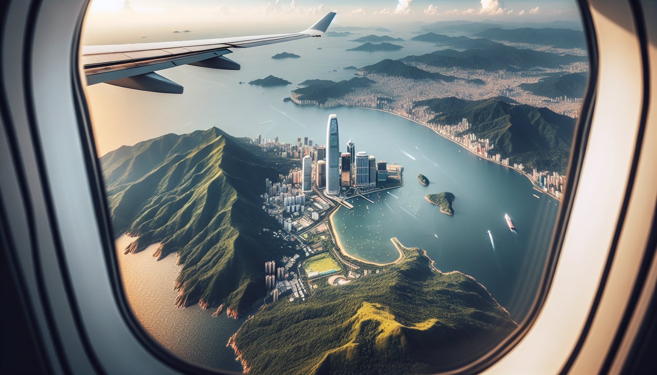
RIGHTDeparting Taoyuan on the west coast, the climb-out swings the nose northeast toward the cruise track, putting inland Taiwan on the right. Passengers get the Taipei Basin, the volcanic cones of Yangmingshan, and the jagged Central Mountain Range, while the left only shows the flat, featureless Taiwan Strait.
Landing at YYZ
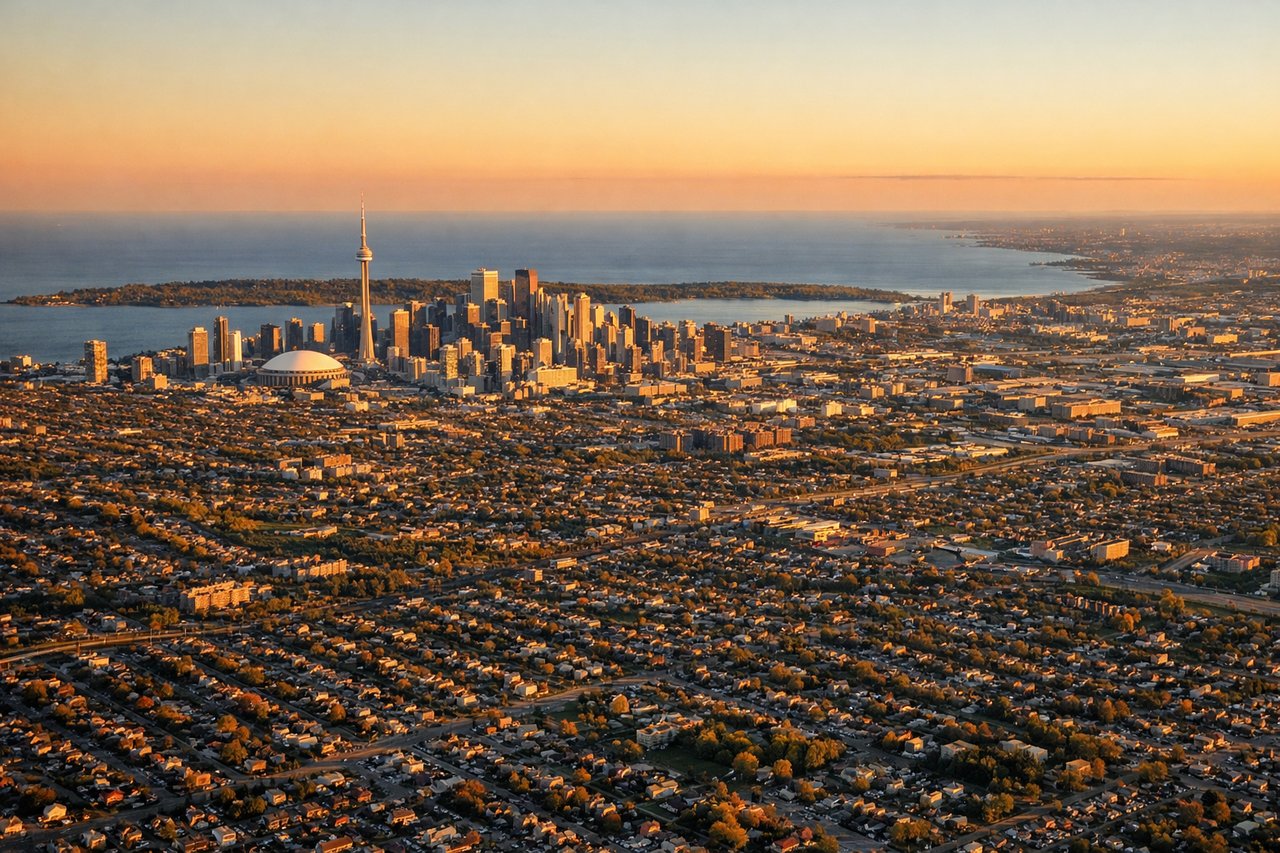
LEFTArriving from the north, the aircraft typically joins final approach to runway 24 from the northeast, flying southwest. That puts downtown Toronto and Lake Ontario off the left side just before touchdown, giving a last good look at the skyline and shoreline.
Landmarks on this routeAll landmarks →
Will your flight be in sunlight?
See exactly which side of the plane gets sun and shade at your departure time.
About This Route
Which side of the plane should I sit on flying from Chiang Kai Shek International (TPE) to Lester B Pearson International (YYZ)?
Sit on the Right side of the plane for the best views on flights from Taipei to Toronto. The right side wins on consistency: dramatic Taiwan mountain scenery at takeoff plus a real chance at Kamchatka's volcanic skyline and Alaska's peaks during the long polar-leaning cruise outweighs the left side's single strong moment over Toronto at landing.
What can I see during takeoff from Chiang Kai Shek International in Taipei?
During takeoff from Chiang Kai Shek International (TPE), sit on the Right side for the best views. Departing Taoyuan on the west coast, the climb-out swings the nose northeast toward the cruise track, putting inland Taiwan on the right. Passengers get the Taipei Basin, the volcanic cones of Yangmingshan, and the jagged Central Mountain Range, while the left only shows the flat, featureless Taiwan Strait. Notable sights include: Taipei Basin skyline, Yangmingshan National Park volcanic peaks, Central Mountain Range (Xueshan foothills), Keelung coastline.
What can I see when landing at Lester B Pearson International in Toronto?
When landing at Lester B Pearson International (YYZ), sit on the Left side for the best views. Arriving from the north, the aircraft typically joins final approach to runway 24 from the northeast, flying southwest. That puts downtown Toronto and Lake Ontario off the left side just before touchdown, giving a last good look at the skyline and shoreline. Notable sights include: Downtown Toronto skyline with CN Tower, Lake Ontario shoreline, Toronto Islands, Port Lands waterfront.
How long is the flight from Taipei to Toronto?
The flight from Chiang Kai Shek International (TPE) to Lester B Pearson International (YYZ) takes 13h 50m.
What does the Taipei to Toronto flight path pass over?
The great-circle track curves north from Taiwan past Japan and the Kuril Islands, crosses the Sea of Okhotsk and Kamchatka Peninsula with its chain of volcanoes, continues over the Bering Sea and southern Alaska near the Alaska Range, then arcs southeast across Yukon, Hudson Bay's western shore, and the boreal forests of northern Ontario before descending toward the Great Lakes.