The left side delivers the superior takeoff experience with Lake Zurich and the Alps clearly visible during climb. Over the Mediterranean and North Africa the views are broadly similar, but the left side tracks slightly closer to the Nile Valley corridor over Egypt and Sudan, offering occasional glimpses of the river and delta. The right side edges it at landing, but the Alpine departure on the left is the highlight of this route.
Flight Path
The route tracks south over the Alps and northern Italy, crosses the Mediterranean near Sicily or Malta, then overflies Libya and the Sahara Desert with its vast sand seas and occasional rocky massifs like the Tibesti. Over Sudan the White Nile becomes visible as a thin ribbon. The route then crosses the equatorial forests of South Sudan and Uganda before the terrain rises onto the East African plateau and the Highveld of South Africa.
Great circle distance and headings ›

.jpg?width=600)


Phase by phase
Takeoff from ZRH
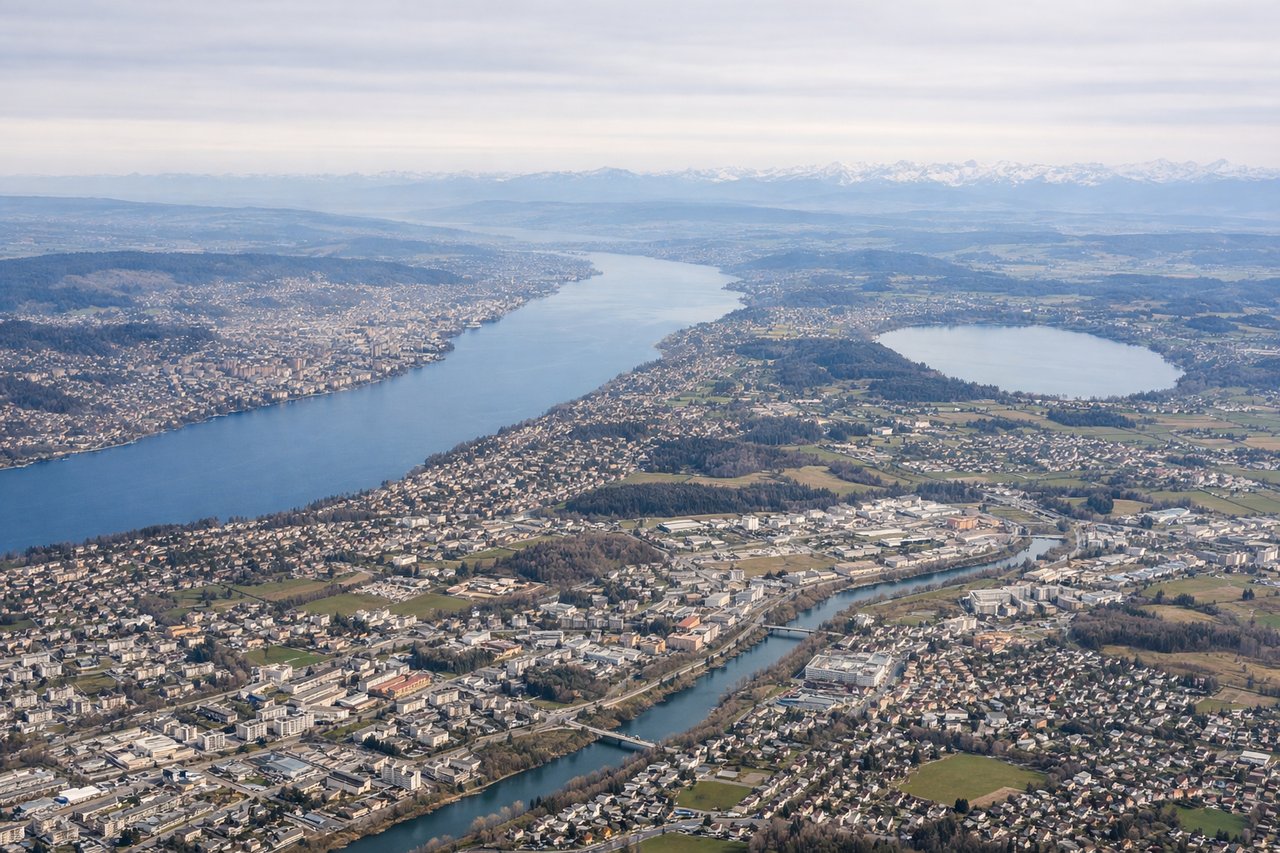
LEFTZurich typically departs on runway 16 heading south or runway 28 heading west. A southbound departure on runway 16 gives the left side a direct view over Lake Zurich stretching southeast, with the Glarus Alps rising beyond. The city center and Limmat river valley are also visible on the left during the initial climb.
Landing at JNB
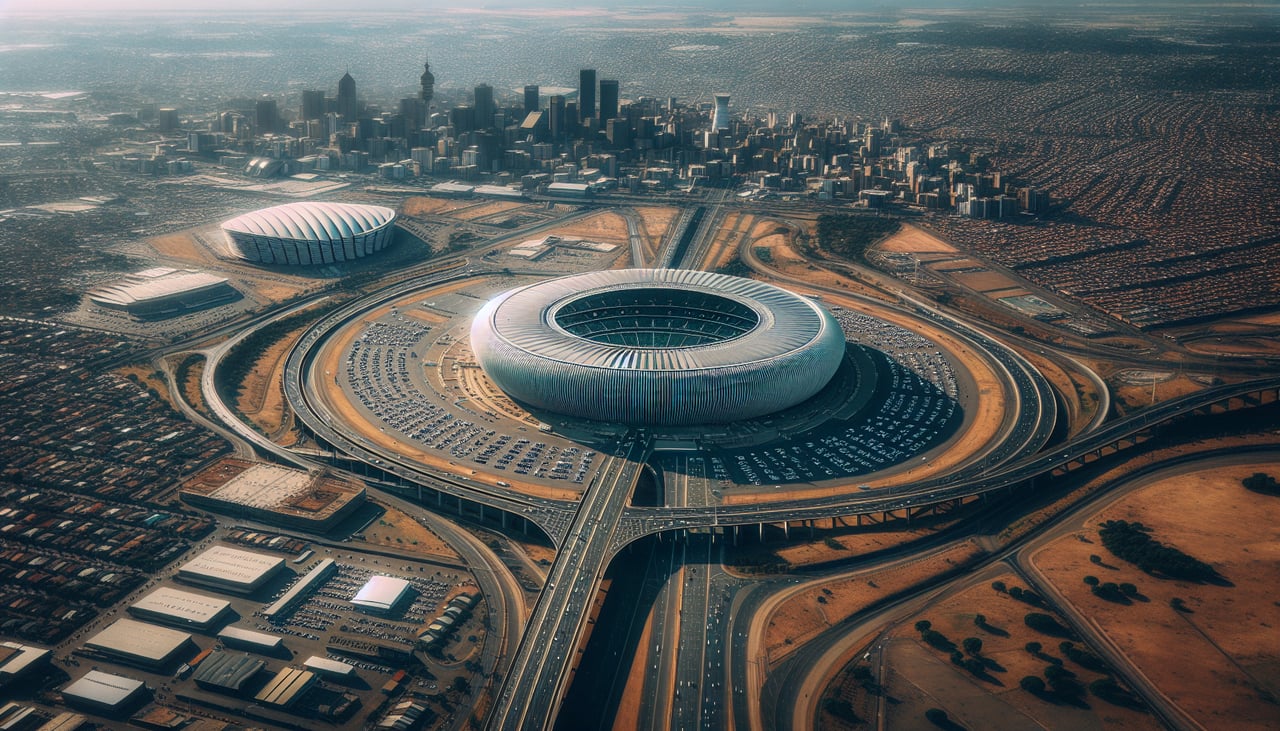
RIGHTOR Tambo International typically uses runways 03L/R for northbound arrivals or 21L/R for southbound approaches. On a flight arriving from the north, the approach on runway 03 heads northeast, placing the Johannesburg CBD skyline and the Witwatersrand ridge on the right side. The distinctive gold mine dumps and the dense urban sprawl of Joburg are clearly visible on the right during final approach.
Landmarks on this routeAll landmarks →
Will your flight be in sunlight?
See exactly which side of the plane gets sun and shade at your departure time.
About This Route
Which side of the plane should I sit on flying from Zurich (ZRH) to O.R. Tambo International Airport (JNB)?
Sit on the Left side of the plane for the best views on flights from Zurich to Johannesburg. The left side delivers the superior takeoff experience with Lake Zurich and the Alps clearly visible during climb. Over the Mediterranean and North Africa the views are broadly similar, but the left side tracks slightly closer to the Nile Valley corridor over Egypt and Sudan, offering occasional glimpses of the river and delta. The right side edges it at landing, but the Alpine departure on the left is the highlight of this route.
What can I see during takeoff from Zurich in Zurich?
During takeoff from Zurich (ZRH), sit on the Left side for the best views. Zurich typically departs on runway 16 heading south or runway 28 heading west. A southbound departure on runway 16 gives the left side a direct view over Lake Zurich stretching southeast, with the Glarus Alps rising beyond. The city center and Limmat river valley are also visible on the left during the initial climb. Notable sights include: Lake Zurich, Glarus Alps, Zurich city center and Limmat valley, Uetliberg ridge.
What can I see when landing at O.R. Tambo International Airport in Johannesburg?
When landing at O.R. Tambo International Airport (JNB), sit on the Right side for the best views. OR Tambo International typically uses runways 03L/R for northbound arrivals or 21L/R for southbound approaches. On a flight arriving from the north, the approach on runway 03 heads northeast, placing the Johannesburg CBD skyline and the Witwatersrand ridge on the right side. The distinctive gold mine dumps and the dense urban sprawl of Joburg are clearly visible on the right during final approach. Notable sights include: Johannesburg CBD skyline, Witwatersrand ridge, mine dumps west of the city, Kempton Park suburbs.
How long is the flight from Zurich to Johannesburg?
The flight from Zurich (ZRH) to O.R. Tambo International Airport (JNB) takes Approximately 10 to 11 hours.
What does the Zurich to Johannesburg flight path pass over?
The route tracks south over the Alps and northern Italy, crosses the Mediterranean near Sicily or Malta, then overflies Libya and the Sahara Desert with its vast sand seas and occasional rocky massifs like the Tibesti. Over Sudan the White Nile becomes visible as a thin ribbon. The route then crosses the equatorial forests of South Sudan and Uganda before the terrain rises onto the East African plateau and the Highveld of South Africa.