While takeoff offers the delta's intricate waterways, the landing view of the Andes—particularly Pichincha and Cotopaxi volcanoes—is more visually dramatic and geographically distinctive. The volcanic landscape is the flight's signature feature.
Flown AEP to UIO? Did we get it right?
Flight Path
Buenos Aires to Quito is 2,706 miles (4,354 km), a flight of about 5 hours 45 minutes.
The flight path crosses the Colombian Pacific coast near Buenaventura, then climbs over the Western Cordillera into the Cauca Valley. The Magdalena River valley is visible during the northern portion of the flight. The approach to Ecuador crosses the Nariño highlands before descending to the Quito plateau. Cotopaxi and Tungurahua volcanoes may be visible on the right during descent into UIO if weather permits.
Great circle distance and headings ›


Phase by phase
Takeoff from AEP
LEFTAEP typically departs northbound (Runway 13/31, with northbound preference). Left seats face west across the Río de la Plata estuary toward the Paraná Delta's intricate waterways and wetlands. Right seats look inland toward the flat pampas with minimal visual interest.
Landing at UIO
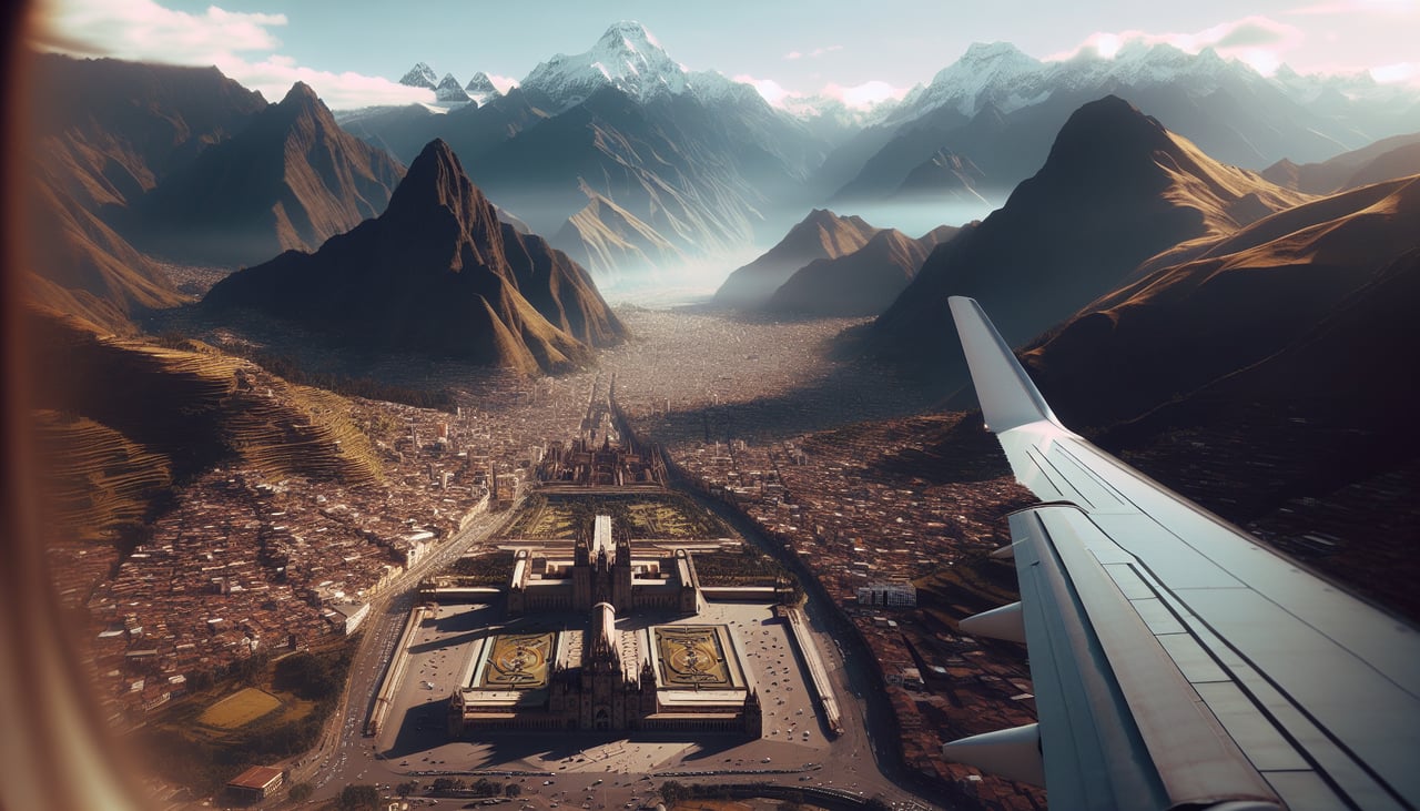
RIGHTUIO (Mariscal Sucre) sits on the Quito plateau at 9,226 feet elevation. Approach vectors typically come from the north or northeast. Right seats face west-southwest toward the dramatic western cordillera of the Andes, with the snow-capped volcanic peaks of Pichincha and Cotopaxi visible during descent. Left seats face the eastern plateau with less dramatic terrain.
Will your flight be in sunlight?
Pick a date and time in the Sun Map to watch the sun move across your whole flight.
About This Route
Which side of the plane should I sit on flying from Aeroparque Jorge Newbery (AEP) to Mariscal Sucre International Airport (UIO)?
Sit on the Right side of the plane for the best views on flights from Buenos Aires to Quito. While takeoff offers the delta's intricate waterways, the landing view of the Andes—particularly Pichincha and Cotopaxi volcanoes—is more visually dramatic and geographically distinctive. The volcanic landscape is the flight's signature feature.
What can I see during takeoff from Aeroparque Jorge Newbery in Buenos Aires?
During takeoff from Aeroparque Jorge Newbery (AEP), sit on the Left side for the best views. AEP typically departs northbound (Runway 13/31, with northbound preference). Left seats face west across the Río de la Plata estuary toward the Paraná Delta's intricate waterways and wetlands. Right seats look inland toward the flat pampas with minimal visual interest. Notable sights include: Río de la Plata (wide brown estuary immediately below), Paraná Delta (complex network of islands and channels to the northwest), Buenos Aires urban grid (receding southward), Tigre district waterways (visible as thin lines through delta vegetation).
What can I see when landing at Mariscal Sucre International Airport in Quito?
When landing at Mariscal Sucre International Airport (UIO), sit on the Right side for the best views. UIO (Mariscal Sucre) sits on the Quito plateau at 9,226 feet elevation. Approach vectors typically come from the north or northeast. Right seats face west-southwest toward the dramatic western cordillera of the Andes, with the snow-capped volcanic peaks of Pichincha and Cotopaxi visible during descent. Left seats face the eastern plateau with less dramatic terrain. Notable sights include: Pichincha volcano (dominant snow-capped peak to the west), Cotopaxi volcano (visible as a distant white cone on the southern horizon), Quito city sprawl (filling the plateau below), Eastern Cordillera ridgeline (forming the eastern horizon).
How long is the flight from Buenos Aires to Quito?
The flight from Aeroparque Jorge Newbery (AEP) to Mariscal Sucre International Airport (UIO) takes about 5 hours 45 minutes. The shortest flight path between them is 2,706 miles (4,354 km); winds and air traffic control usually add a few percent.
What does the Buenos Aires to Quito flight path pass over?
The flight path crosses the Colombian Pacific coast near Buenaventura, then climbs over the Western Cordillera into the Cauca Valley. The Magdalena River valley is visible during the northern portion of the flight. The approach to Ecuador crosses the Nariño highlands before descending to the Quito plateau. Cotopaxi and Tungurahua volcanoes may be visible on the right during descent into UIO if weather permits.