While the takeoff offers excellent Blue Ridge views, the landing provides more dramatic and sustained scenery—the Colorado Front Range is visually striking and visible for a longer portion of the descent, plus you get Denver's urban landscape. Right side captures the most impressive terrain overall.
Flown AVL to DEN? Did we get it right?
Flight Path
Asheville to Denver is 1,245 miles (2,004 km), a flight of about 3 hours 5 minutes.
The flight path crosses the Appalachian plateau (West Virginia and eastern Kentucky), then transitions over the Ohio River valley and into the flatter terrain of central Kentucky and Tennessee. Around the midpoint (roughly over central Tennessee or northern Arkansas), the terrain flattens significantly. The Mississippi River valley becomes visible on the left side around 2 hours into the flight. As you approach Colorado, the High Plains gradually rise, and the Rocky Mountain Front Range becomes visible on the right side approximately 45-60 minutes before landing. The transition from flat plains to mountains is gradual but becomes dramatic in the final descent phase.
Great circle distance and headings ›Phase by phase
Takeoff from AVL
LEFTLeft side captures the Blue Ridge Mountains immediately west of Asheville during climb-out. The ridgelines and valleys are dramatic at lower altitudes and remain visible for the first 20-30 minutes of flight.
Landing at DEN
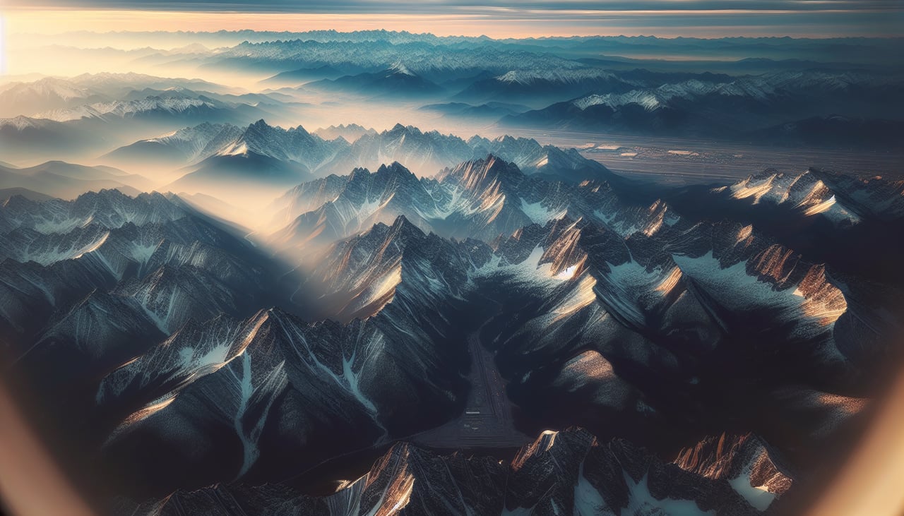
RIGHTRight side provides views of the Colorado Front Range and Denver's urban sprawl during descent. The Rocky Mountains rise dramatically on the right as you approach from the east, and downtown Denver's skyline becomes visible in the final 15-20 minutes.
Will your flight be in sunlight?
Pick a date and time in the Sun Map to watch the sun move across your whole flight.
About This Route
Which side of the plane should I sit on flying from Asheville Regional Airport (AVL) to Denver International (DEN)?
Sit on the Right side of the plane for the best views on flights from Asheville to Denver. While the takeoff offers excellent Blue Ridge views, the landing provides more dramatic and sustained scenery—the Colorado Front Range is visually striking and visible for a longer portion of the descent, plus you get Denver's urban landscape. Right side captures the most impressive terrain overall.
What can I see during takeoff from Asheville Regional Airport in Asheville?
During takeoff from Asheville Regional Airport (AVL), sit on the Left side for the best views. Left side captures the Blue Ridge Mountains immediately west of Asheville during climb-out. The ridgelines and valleys are dramatic at lower altitudes and remain visible for the first 20-30 minutes of flight. Notable sights include: Blue Ridge Mountains, French Broad River valley, Asheville urban area, Pisgah National Forest ridgelines.
What can I see when landing at Denver International in Denver?
When landing at Denver International (DEN), sit on the Right side for the best views. Right side provides views of the Colorado Front Range and Denver's urban sprawl during descent. The Rocky Mountains rise dramatically on the right as you approach from the east, and downtown Denver's skyline becomes visible in the final 15-20 minutes. Notable sights include: Colorado Front Range (including Pikes Peak region to the south), Denver metropolitan area and downtown skyline, South Platte River, High Plains extending eastward.
How long is the flight from Asheville to Denver?
The flight from Asheville Regional Airport (AVL) to Denver International (DEN) takes about 3 hours 5 minutes. The shortest flight path between them is 1,245 miles (2,004 km); winds and air traffic control usually add a few percent.
What does the Asheville to Denver flight path pass over?
The flight path crosses the Appalachian plateau (West Virginia and eastern Kentucky), then transitions over the Ohio River valley and into the flatter terrain of central Kentucky and Tennessee. Around the midpoint (roughly over central Tennessee or northern Arkansas), the terrain flattens significantly. The Mississippi River valley becomes visible on the left side around 2 hours into the flight. As you approach Colorado, the High Plains gradually rise, and the Rocky Mountain Front Range becomes visible on the right side approximately 45-60 minutes before landing. The transition from flat plains to mountains is gradual but becomes dramatic in the final descent phase.