Bangkok to Ketapang is 1,243 miles (2,001 km), a flight of about 2 hours 50 minutes.
The right side offers a stronger overall combination of the Bangkok river-city departure and glimpses of the Malay Peninsula coastline and Karimata Strait islands during cruise, giving slightly more visual variety than the largely open-water left side, even though the left wins the final approach into Borneo.
Flight Path
Southern tip of the Malay Peninsula, the Singapore Strait, and the Karimata Strait separating Sumatra/Belitung from western Borneo
Great circle distance and headings ›Phase by phase
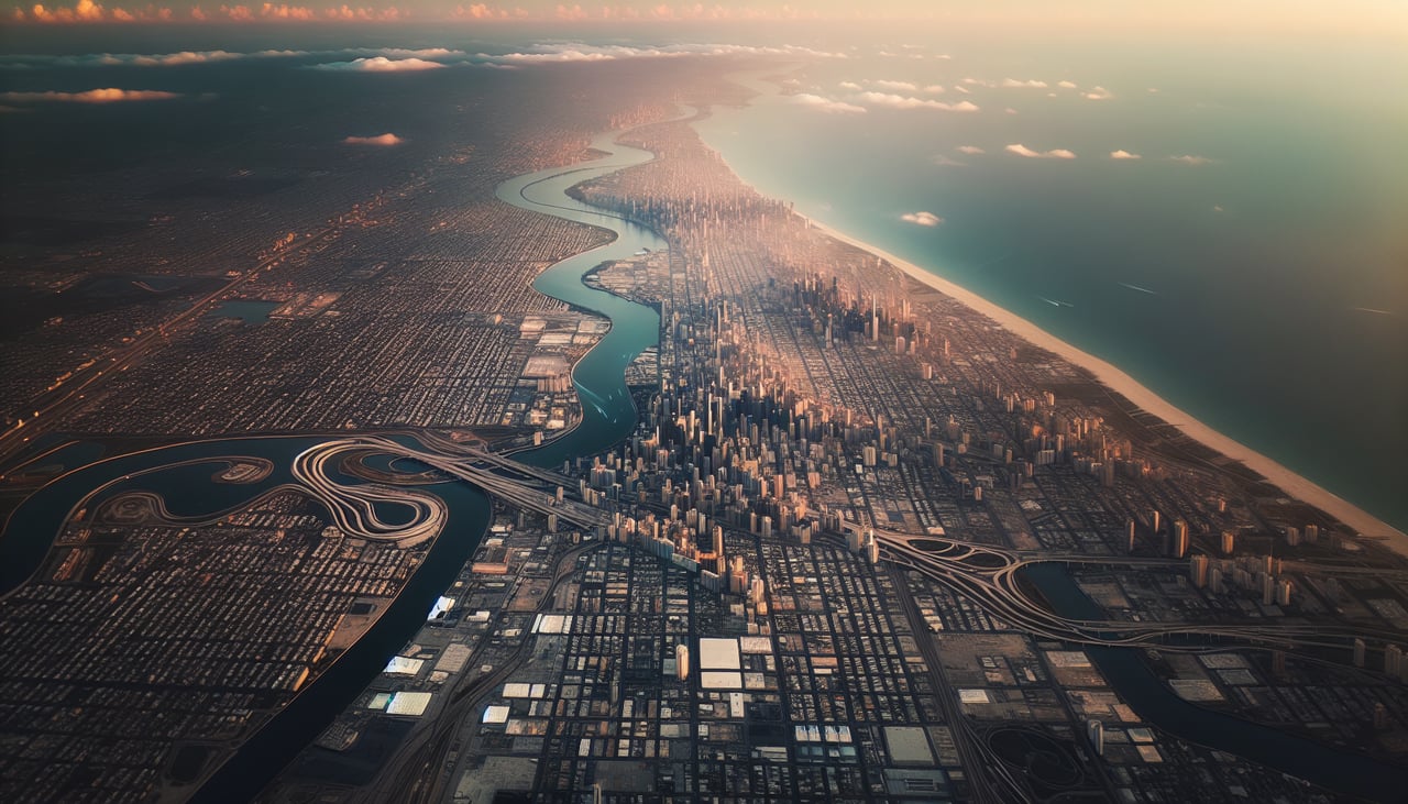
Takeoff from BKK
RIGHTDeparting Suvarnabhumi southbound, the right side gives a good look at Bangkok's western districts and the Chao Phraya River winding toward the Gulf of Thailand before the water takes over. The left side mostly shows flatter eastern suburbs with less definition.
Landing at KTG
LEFTOn approach into Ketapang, the left side faces the Borneo interior, where the Pawan River delta and dense rainforest canopy come into view just before touchdown. The right side over the Karimata Strait is mostly featureless open water.
Landmarks on this routeAll landmarks →
Will your flight be in sunlight?
Pick a date and time in the Sun Map to watch the sun move across your whole flight.
About This Route
Which side of the plane should I sit on flying from Suvarnabhumi Airport (BKK) to Rahadi Usman (KTG)?
Sit on the Right side of the plane for the best views on flights from Bangkok to Ketapang. The right side offers a stronger overall combination of the Bangkok river-city departure and glimpses of the Malay Peninsula coastline and Karimata Strait islands during cruise, giving slightly more visual variety than the largely open-water left side, even though the left wins the final approach into Borneo.
What can I see during takeoff from Suvarnabhumi Airport in Bangkok?
During takeoff from Suvarnabhumi Airport (BKK), sit on the Right side for the best views. Departing Suvarnabhumi southbound, the right side gives a good look at Bangkok's western districts and the Chao Phraya River winding toward the Gulf of Thailand before the water takes over. The left side mostly shows flatter eastern suburbs with less definition. Notable sights include: Chao Phraya River delta, western Bangkok sprawl, Gulf of Thailand coastline.
What can I see when landing at Rahadi Usman in Ketapang?
When landing at Rahadi Usman (KTG), sit on the Left side for the best views. On approach into Ketapang, the left side faces the Borneo interior, where the Pawan River delta and dense rainforest canopy come into view just before touchdown. The right side over the Karimata Strait is mostly featureless open water. Notable sights include: Pawan River delta, Borneo rainforest canopy, Ketapang coastline.
How long is the flight from Bangkok to Ketapang?
The flight from Suvarnabhumi Airport (BKK) to Rahadi Usman (KTG) takes about 2 hours 50 minutes. The shortest flight path between them is 1,243 miles (2,001 km); winds and air traffic control usually add a few percent.
What does the Bangkok to Ketapang flight path pass over?
Southern tip of the Malay Peninsula, the Singapore Strait, and the Karimata Strait separating Sumatra/Belitung from western Borneo