While takeoff and landing favor the right side, the long cruise segment tips the balance: the great-circle path north from Thailand crosses the mountains of Yunnan and Sichuan, the Gobi and Mongolian steppe, the volcanic Kamchatka Peninsula, and the Alaska Range before tracking down the glaciated Coast Mountains into British Columbia — nearly all of it visible on the left side of the aircraft for hours, far outweighing the ocean-dominated right side during cruise.
Flown BKK to YVR? Did we get it right?
Flight Path
Bangkok to Vancouver is 7,335 miles (11,804 km), a flight of about 12 hours 45 minutes.
Mongolian steppe and Gobi Desert, Russian Far East mountains, Kamchatka Peninsula volcanoes, Bering Sea, Alaska Range near Denali
Great circle distance and headings ›


Phase by phase
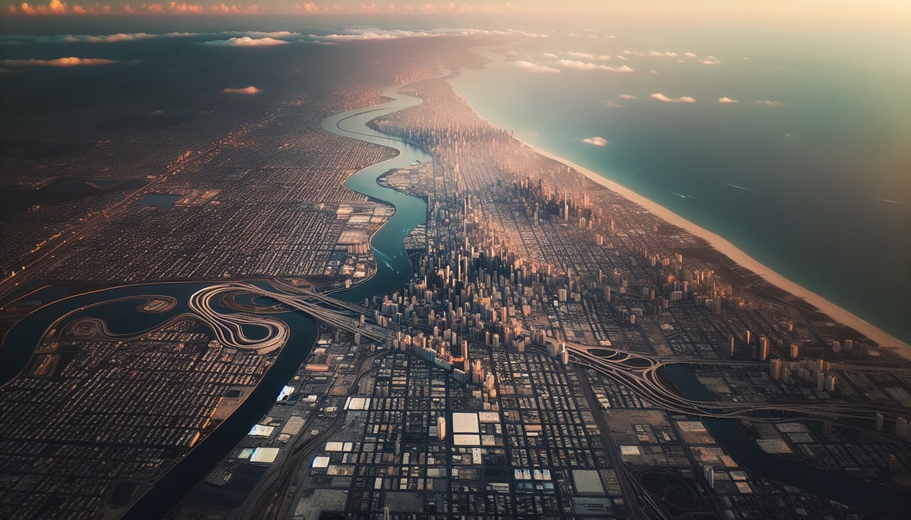
Takeoff from BKK
RIGHTClimbing out from Suvarnabhumi heading north, the right side gives a clean look back over Bangkok's dense skyline and the looping bends of the Chao Phraya River before the city gives way to flat delta farmland. The left side shows mostly featureless rice paddies with no comparable landmark.
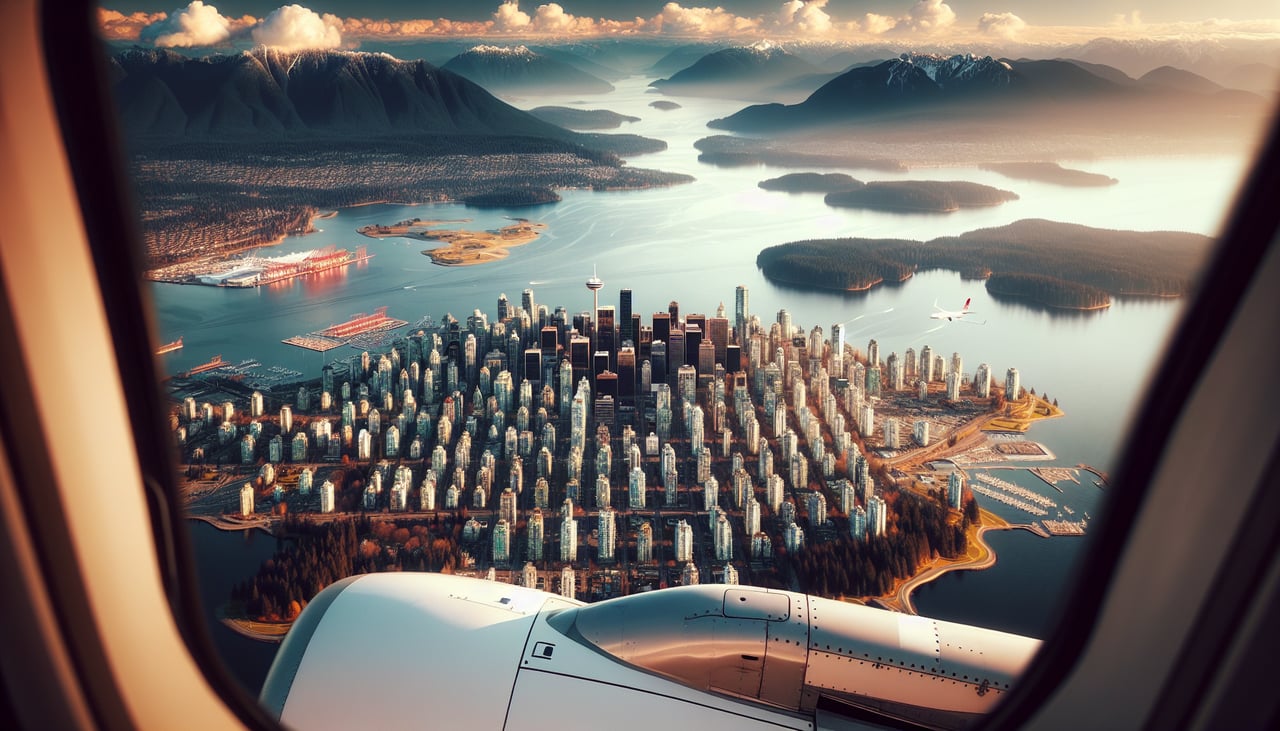
Landing at YVR
RIGHTOn approach to YVR's westward-facing runway, the right side (facing north) looks straight at the North Shore's Coast Mountains and Grouse Mountain rising behind Vancouver's downtown skyline and Burrard Inlet. The left side mostly sees the flatter Fraser Delta and Strait of Georgia, which is scenic but less dramatic.
Will your flight be in sunlight?
Pick a date and time in the Sun Map to watch the sun move across your whole flight.
About This Route
Which side of the plane should I sit on flying from Suvarnabhumi Airport (BKK) to Vancouver International (YVR)?
Sit on the Left side of the plane for the best views on flights from Bangkok to Vancouver. While takeoff and landing favor the right side, the long cruise segment tips the balance: the great-circle path north from Thailand crosses the mountains of Yunnan and Sichuan, the Gobi and Mongolian steppe, the volcanic Kamchatka Peninsula, and the Alaska Range before tracking down the glaciated Coast Mountains into British Columbia — nearly all of it visible on the left side of the aircraft for hours, far outweighing the ocean-dominated right side during cruise.
What can I see during takeoff from Suvarnabhumi Airport in Bangkok?
During takeoff from Suvarnabhumi Airport (BKK), sit on the Right side for the best views. Climbing out from Suvarnabhumi heading north, the right side gives a clean look back over Bangkok's dense skyline and the looping bends of the Chao Phraya River before the city gives way to flat delta farmland. The left side shows mostly featureless rice paddies with no comparable landmark. Notable sights include: Bangkok skyline, Chao Phraya River bends, Chao Phraya delta rice paddies.
What can I see when landing at Vancouver International in Vancouver?
When landing at Vancouver International (YVR), sit on the Right side for the best views. On approach to YVR's westward-facing runway, the right side (facing north) looks straight at the North Shore's Coast Mountains and Grouse Mountain rising behind Vancouver's downtown skyline and Burrard Inlet. The left side mostly sees the flatter Fraser Delta and Strait of Georgia, which is scenic but less dramatic. Notable sights include: North Shore Coast Mountains, Grouse Mountain, Vancouver downtown skyline, Burrard Inlet.
How long is the flight from Bangkok to Vancouver?
The flight from Suvarnabhumi Airport (BKK) to Vancouver International (YVR) takes about 12 hours 45 minutes. The shortest flight path between them is 7,335 miles (11,804 km); winds and air traffic control usually add a few percent.
What does the Bangkok to Vancouver flight path pass over?
Mongolian steppe and Gobi Desert, Russian Far East mountains, Kamchatka Peninsula volcanoes, Bering Sea, Alaska Range near Denali