The right side wins both the mountainous, fjord-like departure from Vancouver and the Bangkok skyline view on arrival, while the left side offers only flat farmland and open ocean for most of the flight.
Flight Path
The route arcs over the Gulf of Alaska, passes near the Aleutian Islands and Kamchatka Peninsula, crosses the Sea of Japan and East China Sea, then continues over the South China Sea before descending into the Gulf of Thailand region — largely open ocean with only occasional glimpses of the Japanese or Chinese coastline.
Great circle distance and headings ›


.jpg?width=600)
Phase by phase
Takeoff from YVR
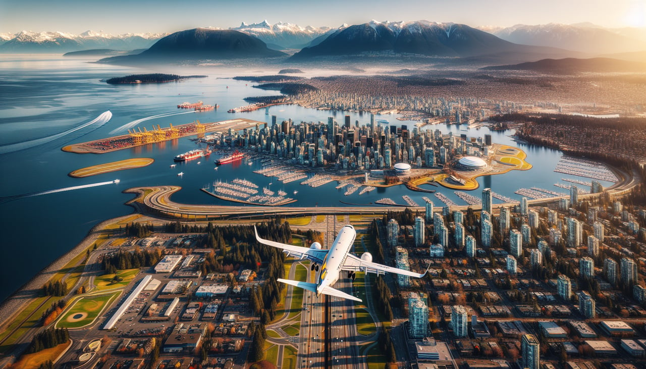
RIGHTDeparting YVR on runway 26, the aircraft climbs out over the Strait of Georgia and typically banks north toward Asia, putting the North Shore mountains (Grouse, Seymour, and the Coast Mountains) and Vancouver Island's rugged coastline on the right side. The left side shows only the flat farmland of the Fraser delta and the Gulf Islands.
Landing at BKK
RIGHTOn approach into Suvarnabhumi from the north (runway 19), the aircraft descends southward over the flat Chao Phraya delta, and Bangkok's dense downtown skyline and river bends sit to the right (west) of the flight path. The left side shows only uniform rice paddies and canals with little visual variety.
Landmarks on this routeAll landmarks →
Will your flight be in sunlight?
See exactly which side of the plane gets sun and shade at your departure time.
About This Route
Which side of the plane should I sit on flying from Vancouver International (YVR) to Suvarnabhumi Airport (BKK)?
Sit on the Right side of the plane for the best views on flights from Vancouver to Bangkok. The right side wins both the mountainous, fjord-like departure from Vancouver and the Bangkok skyline view on arrival, while the left side offers only flat farmland and open ocean for most of the flight.
What can I see during takeoff from Vancouver International in Vancouver?
During takeoff from Vancouver International (YVR), sit on the Right side for the best views. Departing YVR on runway 26, the aircraft climbs out over the Strait of Georgia and typically banks north toward Asia, putting the North Shore mountains (Grouse, Seymour, and the Coast Mountains) and Vancouver Island's rugged coastline on the right side. The left side shows only the flat farmland of the Fraser delta and the Gulf Islands. Notable sights include: Coast Mountains, Grouse Mountain, Strait of Georgia, Vancouver Island coastline.
What can I see when landing at Suvarnabhumi Airport in Bangkok?
When landing at Suvarnabhumi Airport (BKK), sit on the Right side for the best views. On approach into Suvarnabhumi from the north (runway 19), the aircraft descends southward over the flat Chao Phraya delta, and Bangkok's dense downtown skyline and river bends sit to the right (west) of the flight path. The left side shows only uniform rice paddies and canals with little visual variety. Notable sights include: Chao Phraya River, Bangkok skyline, rice paddy grid patterns, Gulf of Thailand haze on the horizon.
How long is the flight from Vancouver to Bangkok?
The flight from Vancouver International (YVR) to Suvarnabhumi Airport (BKK) takes 16h35m.
What does the Vancouver to Bangkok flight path pass over?
The route arcs over the Gulf of Alaska, passes near the Aleutian Islands and Kamchatka Peninsula, crosses the Sea of Japan and East China Sea, then continues over the South China Sea before descending into the Gulf of Thailand region — largely open ocean with only occasional glimpses of the Japanese or Chinese coastline.