While the Brussels departure offers some coastal interest, the Montreal approach dominates the flight experience. The St. Lawrence River valley, Montreal's urban geography, and the Laurentian foothills provide significantly more visual variety and landmark density than the flat Flemish plains and North Sea crossing. The cruise phase over the Atlantic is featureless on both sides, but the landing sequence on the right side is substantially more scenic.
Flown BRU to YHU? Did we get it right?
Flight Path
Brussels to Montreal is 3,436 miles (5,530 km), a flight of about 7 hours 15 minutes.
North Atlantic Ocean (5+ hours of open water with no visible landmarks), Newfoundland and Labrador coastline on approach to North America, St. Lawrence River estuary and Gulf of St. Lawrence during descent into Montreal airspace
Great circle distance and headings ›Phase by phase
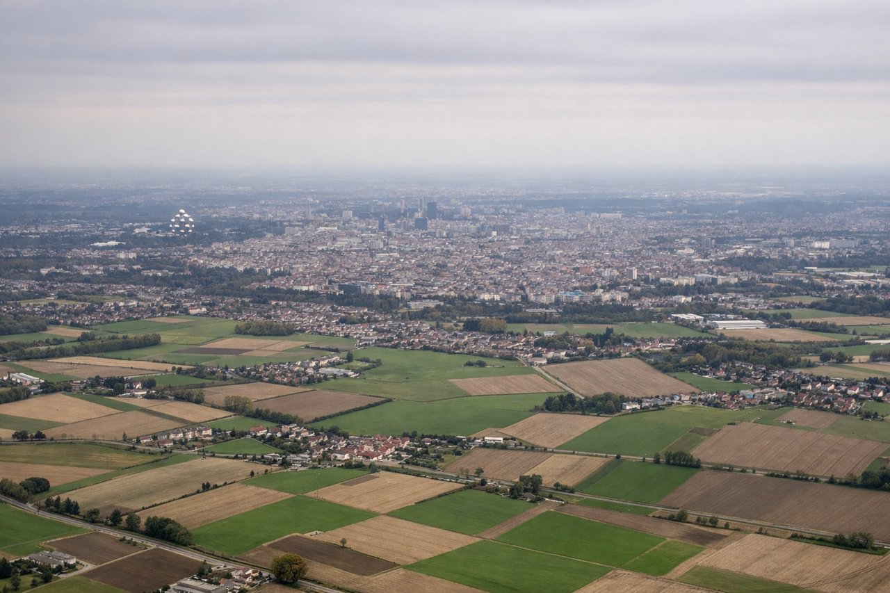
Takeoff from BRU
LEFTBrussels departure typically uses westbound runways (25L/25R) with initial climb heading west-southwest. Left side captures the Flemish plains and early views toward the English Channel coast, including the Belgian coastline near Ostend and the North Sea horizon.
Landing at YHU
RIGHTApproach to St. Hubert typically uses runway 24R (heading ~227°) with southwest-to-northeast descent vectors. Right side captures the St. Lawrence River valley, Montreal's urban sprawl, and the Laurentian foothills to the north—far more dramatic than the flat terrain to the left.
Will your flight be in sunlight?
Pick a date and time in the Sun Map to watch the sun move across your whole flight.
About This Route
Which side of the plane should I sit on flying from Brussels Natl (BRU) to St Hubert (YHU)?
Sit on the Right side of the plane for the best views on flights from Brussels to Montreal. While the Brussels departure offers some coastal interest, the Montreal approach dominates the flight experience. The St. Lawrence River valley, Montreal's urban geography, and the Laurentian foothills provide significantly more visual variety and landmark density than the flat Flemish plains and North Sea crossing. The cruise phase over the Atlantic is featureless on both sides, but the landing sequence on the right side is substantially more scenic.
What can I see during takeoff from Brussels Natl in Brussels?
During takeoff from Brussels Natl (BRU), sit on the Left side for the best views. Brussels departure typically uses westbound runways (25L/25R) with initial climb heading west-southwest. Left side captures the Flemish plains and early views toward the English Channel coast, including the Belgian coastline near Ostend and the North Sea horizon. Notable sights include: Flemish agricultural plains, Ostend coastal region, North Sea horizon, Brussels urban sprawl receding eastward.
What can I see when landing at St Hubert in Montreal?
When landing at St Hubert (YHU), sit on the Right side for the best views. Approach to St. Hubert typically uses runway 24R (heading ~227°) with southwest-to-northeast descent vectors. Right side captures the St. Lawrence River valley, Montreal's urban sprawl, and the Laurentian foothills to the north—far more dramatic than the flat terrain to the left. Notable sights include: St. Lawrence River valley, Montreal metropolitan area and downtown skyline, Laurentian Mountains to the north, Lake St. Louis to the southwest.
How long is the flight from Brussels to Montreal?
The flight from Brussels Natl (BRU) to St Hubert (YHU) takes about 7 hours 15 minutes. The shortest flight path between them is 3,436 miles (5,530 km); winds and air traffic control usually add a few percent.
What does the Brussels to Montreal flight path pass over?
North Atlantic Ocean (5+ hours of open water with no visible landmarks), Newfoundland and Labrador coastline on approach to North America, St. Lawrence River estuary and Gulf of St. Lawrence during descent into Montreal airspace