Cedar City to Rome is 5,955 miles (9,584 km), a flight of about 13 hours 30 minutes.
While takeoff favors the left for Utah's red rock scenery, the landing approach into Rome—where you'll see the Tiber River, the city itself, and the Alban Hills—offers more sustained and iconic views. Right side wins overall for the transatlantic journey.
Flight Path
The flight path crosses the Rocky Mountains (visible during early climb), then traverses the Great Plains and Atlantic coast. Over the Atlantic, you'll pass south of Greenland and Iceland. Approaching Europe, the flight crosses the British Isles and English Channel, then continues southeast over France and the Alps before descending into Italy. The Alps are the most dramatic midpoint feature, visible as a snow-capped ridge if flying during daylight hours and clear conditions.
Great circle distance and headings ›.jpg?width=600)
.jpg?width=600)
_Panoramica_del_centro_della_citt%C3%A0_dal_lago.jpg?width=600)


_-_24_(50543603956).jpg?width=600)

Phase by phase
Takeoff from CDC
LEFTLeft side offers immediate views of the red rock formations and escarpments surrounding Cedar City. The aircraft will climb northwest initially, giving left-seat passengers direct sightlines to the distinctive Markagunt Plateau and surrounding canyon country.
Landing at FCO
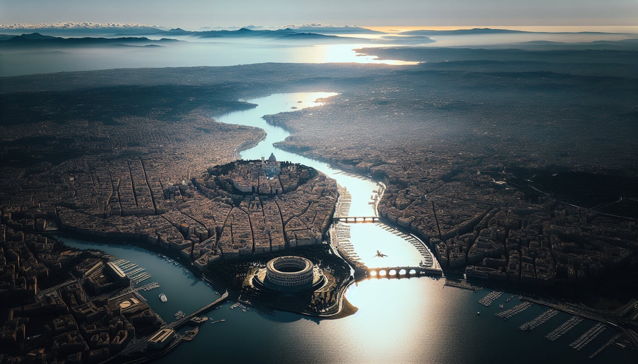
RIGHTRight side provides the best approach views into Rome. The aircraft descends from the northwest, and right-seat passengers will see the Tiber River valley, the urban sprawl of Rome itself, and the Alban Hills to the southeast as the aircraft lines up for Fiumicino's westward runways.
Landmarks on this routeAll landmarks →
Will your flight be in sunlight?
Pick a date and time in the Sun Map to watch the sun move across your whole flight.
About This Route
Which side of the plane should I sit on flying from Cedar City Rgnl (CDC) to Fiumicino (FCO)?
Sit on the Right side of the plane for the best views on flights from Cedar City to Rome. While takeoff favors the left for Utah's red rock scenery, the landing approach into Rome—where you'll see the Tiber River, the city itself, and the Alban Hills—offers more sustained and iconic views. Right side wins overall for the transatlantic journey.
What can I see during takeoff from Cedar City Rgnl in Cedar City?
During takeoff from Cedar City Rgnl (CDC), sit on the Left side for the best views. Left side offers immediate views of the red rock formations and escarpments surrounding Cedar City. The aircraft will climb northwest initially, giving left-seat passengers direct sightlines to the distinctive Markagunt Plateau and surrounding canyon country. Notable sights include: Markagunt Plateau, Cedar Breaks National Monument rim, Hurricane Cliffs, Kolob Canyons.
What can I see when landing at Fiumicino in Rome?
When landing at Fiumicino (FCO), sit on the Right side for the best views. Right side provides the best approach views into Rome. The aircraft descends from the northwest, and right-seat passengers will see the Tiber River valley, the urban sprawl of Rome itself, and the Alban Hills to the southeast as the aircraft lines up for Fiumicino's westward runways. Notable sights include: Tiber River valley, Rome city center and urban districts, Alban Hills, Tyrrhenian Sea coastline.
How long is the flight from Cedar City to Rome?
The flight from Cedar City Rgnl (CDC) to Fiumicino (FCO) takes about 13 hours 30 minutes. The shortest flight path between them is 5,955 miles (9,584 km); winds and air traffic control usually add a few percent.
What does the Cedar City to Rome flight path pass over?
The flight path crosses the Rocky Mountains (visible during early climb), then traverses the Great Plains and Atlantic coast. Over the Atlantic, you'll pass south of Greenland and Iceland. Approaching Europe, the flight crosses the British Isles and English Channel, then continues southeast over France and the Alps before descending into Italy. The Alps are the most dramatic midpoint feature, visible as a snow-capped ridge if flying during daylight hours and clear conditions.