Right-side seats offer superior scenery on both legs: the Apennine Mountains and Italian coastline during departure, and the Andes peaks during approach to Bogotá. Left seats have strong landing views but weaker takeoff options.
Flown CIA to BOG? Did we get it right?
Flight Path
Rome to Bogota is 5,834 miles (9,389 km), a flight of about 10 hours 15 minutes.
The flight crosses the Atlantic over the Bay of Biscay and open ocean, then approaches the Iberian Peninsula's western coast (Portugal/Spain) before heading southwest over the Atlantic. Over the ocean, passengers may glimpse the Azores archipelago (if routed south) or the coast of Morocco. Approaching South America, the flight passes over the Caribbean coast of Colombia, with the Sierra Nevada de Santa Marta visible as a coastal mountain range before turning inland toward Bogotá's high plateau in the Andes.
Great circle distance and headings ›


Phase by phase
Takeoff from CIA
RIGHTRight-side seats departing Rome capture the Apennine Mountains running south from the city, with the Tyrrhenian Sea visible to the west. The aircraft climbs southeast initially, so right windows frame the dramatic spine of Italy's central highlands.
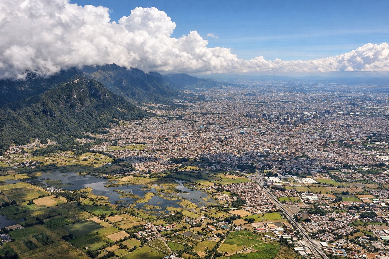
Landing at BOG
LEFTLeft-side seats on final approach to Bogotá offer views of the Cordillera Oriental (Eastern Range of the Andes) and the high-altitude plateau where the city sits. The descent path from the northeast brings these mountains into sharp relief on the left side of the aircraft.
Will your flight be in sunlight?
Pick a date and time in the Sun Map to watch the sun move across your whole flight.
About This Route
Which side of the plane should I sit on flying from Ciampino (CIA) to Eldorado International (BOG)?
Sit on the Right side of the plane for the best views on flights from Rome to Bogota. Right-side seats offer superior scenery on both legs: the Apennine Mountains and Italian coastline during departure, and the Andes peaks during approach to Bogotá. Left seats have strong landing views but weaker takeoff options.
What can I see during takeoff from Ciampino in Rome?
During takeoff from Ciampino (CIA), sit on the Right side for the best views. Right-side seats departing Rome capture the Apennine Mountains running south from the city, with the Tyrrhenian Sea visible to the west. The aircraft climbs southeast initially, so right windows frame the dramatic spine of Italy's central highlands. Notable sights include: Apennine Mountains (south of Rome), Tyrrhenian Sea coastline, Castelli Romani volcanic hills (southeast of city), Tiber River valley.
What can I see when landing at Eldorado International in Bogota?
When landing at Eldorado International (BOG), sit on the Left side for the best views. Left-side seats on final approach to Bogotá offer views of the Cordillera Oriental (Eastern Range of the Andes) and the high-altitude plateau where the city sits. The descent path from the northeast brings these mountains into sharp relief on the left side of the aircraft. Notable sights include: Cordillera Oriental peaks (Andes), Bogotá high plateau (2,640 m elevation), Monserrate peak (east of city), Río Magdalena valley to the west.
How long is the flight from Rome to Bogota?
The flight from Ciampino (CIA) to Eldorado International (BOG) takes about 10 hours 15 minutes. The shortest flight path between them is 5,834 miles (9,389 km); winds and air traffic control usually add a few percent.
What does the Rome to Bogota flight path pass over?
The flight crosses the Atlantic over the Bay of Biscay and open ocean, then approaches the Iberian Peninsula's western coast (Portugal/Spain) before heading southwest over the Atlantic. Over the ocean, passengers may glimpse the Azores archipelago (if routed south) or the coast of Morocco. Approaching South America, the flight passes over the Caribbean coast of Colombia, with the Sierra Nevada de Santa Marta visible as a coastal mountain range before turning inland toward Bogotá's high plateau in the Andes.