Sapporo to Aomori is 150 miles (242 km), a flight of about 55 minutes.
Right side captures the most distinctive scenery: Ishikari Bay and coastal plains during departure, then the flight path crosses over Hokkaido's interior before descending toward Aomori. While the landing favors left, the takeoff views are more visually striking and sustained.
Flight Path
The flight path crosses central Hokkaido at roughly 8,000-12,000 feet, passing over forested terrain and scattered lakes. Yodo Lake and smaller water bodies may be visible from either side depending on exact routing. The Ou Mountains form a distant ridge on the eastern horizon as the aircraft approaches Aomori Prefecture. Coastal views of the Tsugaru Strait become visible on the left side during descent toward Aomori.
Great circle distance and headings ›Phase by phase
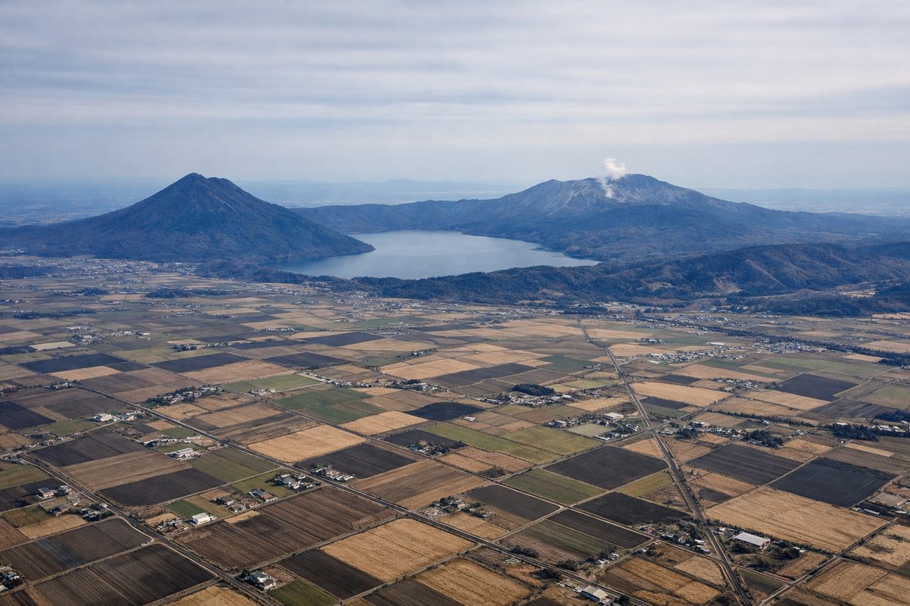
Takeoff from CTS
RIGHTRight side offers immediate views of Ishikari Bay and the coastal plains south of Sapporo. The left side faces inland toward forested terrain with less distinctive visual features during climb-out.
Landing at AOJ
LEFTLeft side provides views of Aomori's coastal approach and Mutsu Bay during descent. The right side faces inland toward less visually distinctive forested terrain. The standard approach to Aomori Airport comes from the northwest over the bay.
Will your flight be in sunlight?
Pick a date and time in the Sun Map to watch the sun move across your whole flight.
About This Route
Which side of the plane should I sit on flying from Chitose International Airport (CTS) to Aomori (AOJ)?
Sit on the Right side of the plane for the best views on flights from Sapporo to Aomori. Right side captures the most distinctive scenery: Ishikari Bay and coastal plains during departure, then the flight path crosses over Hokkaido's interior before descending toward Aomori. While the landing favors left, the takeoff views are more visually striking and sustained.
What can I see during takeoff from Chitose International Airport in Sapporo?
During takeoff from Chitose International Airport (CTS), sit on the Right side for the best views. Right side offers immediate views of Ishikari Bay and the coastal plains south of Sapporo. The left side faces inland toward forested terrain with less distinctive visual features during climb-out. Notable sights include: Ishikari Bay, Sapporo urban area, Ishikari Plain, Tenno Forest.
What can I see when landing at Aomori in Aomori?
When landing at Aomori (AOJ), sit on the Left side for the best views. Left side provides views of Aomori's coastal approach and Mutsu Bay during descent. The right side faces inland toward less visually distinctive forested terrain. The standard approach to Aomori Airport comes from the northwest over the bay. Notable sights include: Mutsu Bay, Aomori city waterfront, Hakkoda Mountains (distant), Tsugaru Peninsula.
How long is the flight from Sapporo to Aomori?
The flight from Chitose International Airport (CTS) to Aomori (AOJ) takes about 55 minutes. The shortest flight path between them is 150 miles (242 km); winds and air traffic control usually add a few percent.
What does the Sapporo to Aomori flight path pass over?
The flight path crosses central Hokkaido at roughly 8,000-12,000 feet, passing over forested terrain and scattered lakes. Yodo Lake and smaller water bodies may be visible from either side depending on exact routing. The Ou Mountains form a distant ridge on the eastern horizon as the aircraft approaches Aomori Prefecture. Coastal views of the Tsugaru Strait become visible on the left side during descent toward Aomori.