Willemstad to Panama City is 740 miles (1,191 km), a flight of about 2 hours 15 minutes.
While takeoff favors the right for Curaçao's island views, the landing approach into PTY is the more dramatic and geographically distinctive segment of this route. Left seating captures the San Blas Islands and canal approach—iconic and visually striking features that outweigh the takeoff advantage.
Flight Path
The flight crosses the Caribbean Sea in a southwesterly direction. At midpoint, you're over open water roughly 200 nautical miles northeast of the Yucatán Peninsula. The Colombian coast (Guajira Peninsula) lies to the south, and the Central American mainland gradually becomes visible as you approach Panama. No major islands or landmarks occupy the direct flight path—this is primarily open Caribbean water with scattered cumulus cloud development typical of tropical maritime conditions.
Great circle distance and headings ›

Phase by phase
Takeoff from CUR
RIGHTCuraçao's terrain slopes toward the southern coast, and rightward seating captures the island's interior and the Caribbean Sea stretching south. Hato typically departs eastbound or westbound; right seats maximize views of the island's width and the open water beyond.
Landing at PTY
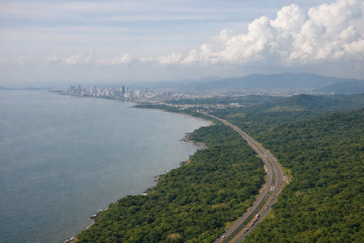
LEFTApproaching PTY from the northwest, left seats face the Panama Canal approach corridor and the San Blas Islands archipelago. The descent path typically brings aircraft over the Caribbean side before turning toward Tocumen's runways, making left-side views of the canal entrance and coastal geography superior.
Landmarks on this routeAll landmarks →
Will your flight be in sunlight?
Pick a date and time in the Sun Map to watch the sun move across your whole flight.
About This Route
Which side of the plane should I sit on flying from Hato (CUR) to Tocumen International (PTY)?
Sit on the Left side of the plane for the best views on flights from Willemstad to Panama City. While takeoff favors the right for Curaçao's island views, the landing approach into PTY is the more dramatic and geographically distinctive segment of this route. Left seating captures the San Blas Islands and canal approach—iconic and visually striking features that outweigh the takeoff advantage.
What can I see during takeoff from Hato in Willemstad?
During takeoff from Hato (CUR), sit on the Right side for the best views. Curaçao's terrain slopes toward the southern coast, and rightward seating captures the island's interior and the Caribbean Sea stretching south. Hato typically departs eastbound or westbound; right seats maximize views of the island's width and the open water beyond. Notable sights include: Willemstad's colorful harbor district (Punda and Otrobanda), the interior limestone plateau of central Curaçao, the southern Caribbean coastline, and the deep blue open ocean to the south.
What can I see when landing at Tocumen International in Panama City?
When landing at Tocumen International (PTY), sit on the Left side for the best views. Approaching PTY from the northwest, left seats face the Panama Canal approach corridor and the San Blas Islands archipelago. The descent path typically brings aircraft over the Caribbean side before turning toward Tocumen's runways, making left-side views of the canal entrance and coastal geography superior. Notable sights include: The Panama Canal's Caribbean entrance and Gatun Lake (visible as a large inland water body), the San Blas Islands archipelago stretching along the coast, the Darién Gap's dense rainforest to the southeast, and Panama City's skyline on the Pacific side.
How long is the flight from Willemstad to Panama City?
The flight from Hato (CUR) to Tocumen International (PTY) takes about 2 hours 15 minutes. The shortest flight path between them is 740 miles (1,191 km); winds and air traffic control usually add a few percent.
What does the Willemstad to Panama City flight path pass over?
The flight crosses the Caribbean Sea in a southwesterly direction. At midpoint, you're over open water roughly 200 nautical miles northeast of the Yucatán Peninsula. The Colombian coast (Guajira Peninsula) lies to the south, and the Central American mainland gradually becomes visible as you approach Panama. No major islands or landmarks occupy the direct flight path—this is primarily open Caribbean water with scattered cumulus cloud development typical of tropical maritime conditions.