Left seats capture the dramatic Río de la Plata estuary during departure and provide reasonable views of the Andes approach during landing. The takeoff view is significantly more visually distinctive than the landing view, making left the stronger choice overall.
Flown EZE to UIO? Did we get it right?
Flight Path
Buenos Aires to Quito is 2,717 miles (4,373 km), a flight of about 4 hours 45 minutes.
The flight path crosses the Andes at approximately 15,000-18,000 feet, passing over the Colombian-Ecuadorian border region. Notable features include the Cauca Valley (visible as a linear depression in the Colombian highlands around 2 hours into flight), the Cordillera Occidental and Cordillera Central of Colombia (parallel mountain ridges with snow-capped peaks), and the transition into Ecuador's inter-Andean valley system. The Magdalena River valley is visible in southern Colombia. Visibility of these features depends heavily on cloud cover, which is common in this region.
Great circle distance and headings ›


Phase by phase

Takeoff from EZE
LEFTEZE typically departs runway 09 (westbound). Left seats face north during climb-out, offering views of the Río de la Plata estuary and the Buenos Aires metropolitan area spreading inland. Right seats see the flat pampas extending south, which are visually monotonous.
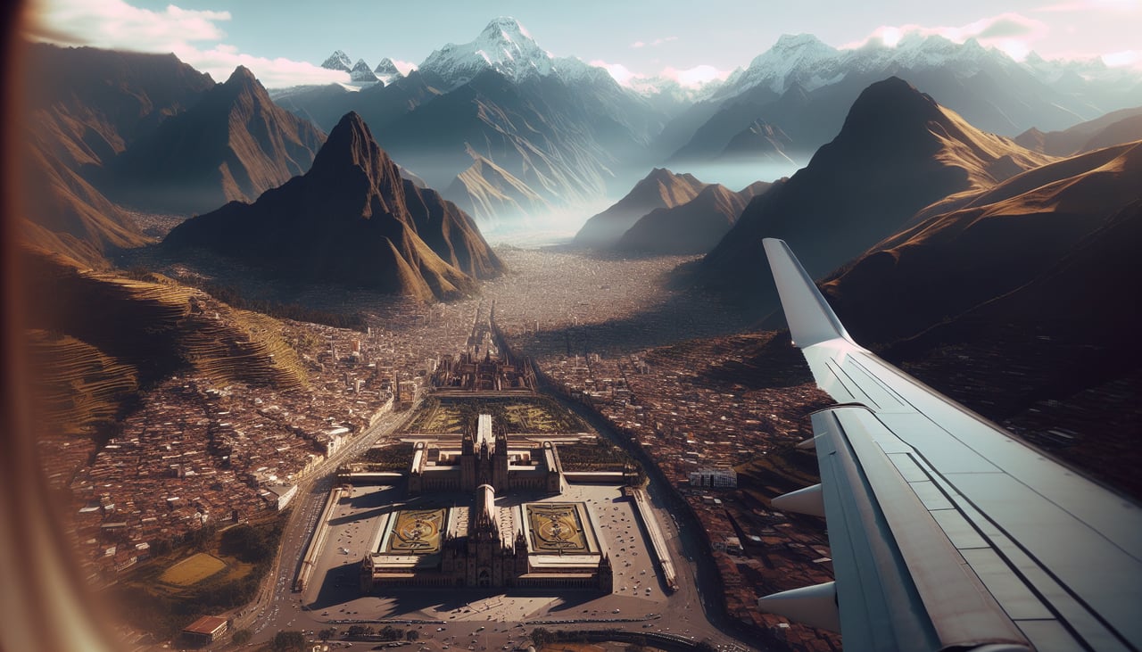
Landing at UIO
RIGHTUIO uses runway 34 (northwest approach). Right seats face northeast during descent, providing views of the Andes foothills and the Quito basin nestled in the inter-Andean valley. Left seats see the western cordillera slopes, which are less distinctive.
Will your flight be in sunlight?
Pick a date and time in the Sun Map to watch the sun move across your whole flight.
About This Route
Which side of the plane should I sit on flying from Ezeiza Ministro Pistarini (EZE) to Mariscal Sucre International Airport (UIO)?
Sit on the Left side of the plane for the best views on flights from Buenos Aires to Quito. Left seats capture the dramatic Río de la Plata estuary during departure and provide reasonable views of the Andes approach during landing. The takeoff view is significantly more visually distinctive than the landing view, making left the stronger choice overall.
What can I see during takeoff from Ezeiza Ministro Pistarini in Buenos Aires?
During takeoff from Ezeiza Ministro Pistarini (EZE), sit on the Left side for the best views. EZE typically departs runway 09 (westbound). Left seats face north during climb-out, offering views of the Río de la Plata estuary and the Buenos Aires metropolitan area spreading inland. Right seats see the flat pampas extending south, which are visually monotonous. Notable sights include: Río de la Plata (wide brown estuary immediately north), Buenos Aires city grid (visible as urban sprawl extending inland), Tigre Delta (intricate waterway network northeast), Acoyte neighborhood and western suburbs (receding westward).
What can I see when landing at Mariscal Sucre International Airport in Quito?
When landing at Mariscal Sucre International Airport (UIO), sit on the Right side for the best views. UIO uses runway 34 (northwest approach). Right seats face northeast during descent, providing views of the Andes foothills and the Quito basin nestled in the inter-Andean valley. Left seats see the western cordillera slopes, which are less distinctive. Notable sights include: Andes Mountains—eastern cordillera (visible as a dramatic ridge of peaks on the horizon), Quito city basin (sprawling urban area in the inter-Andean valley), Pichincha volcano (dominant peak on the western rim of the valley), Río Machángara valley (visible as a linear depression cutting through the terrain).
How long is the flight from Buenos Aires to Quito?
The flight from Ezeiza Ministro Pistarini (EZE) to Mariscal Sucre International Airport (UIO) takes about 4 hours 45 minutes. The shortest flight path between them is 2,717 miles (4,373 km); winds and air traffic control usually add a few percent.
What does the Buenos Aires to Quito flight path pass over?
The flight path crosses the Andes at approximately 15,000-18,000 feet, passing over the Colombian-Ecuadorian border region. Notable features include the Cauca Valley (visible as a linear depression in the Colombian highlands around 2 hours into flight), the Cordillera Occidental and Cordillera Central of Colombia (parallel mountain ridges with snow-capped peaks), and the transition into Ecuador's inter-Andean valley system. The Magdalena River valley is visible in southern Colombia. Visibility of these features depends heavily on cloud cover, which is common in this region.