While the left side dominates the Fresno departure with Sierra Nevada views, the right side captures more dramatic scenery during the Washington descent—the Potomac River, Blue Ridge Mountains, and D.C. urban landmarks. The landing experience outweighs the takeoff advantage.
Flown FAT to DCA? Did we get it right?
Flight Path
Fresno to Washington is 2,313 miles (3,722 km), a flight of about 5 hours.
The flight path crosses the southern Rocky Mountains (Colorado Plateau region), the Great Plains of eastern Colorado and Kansas, and the Appalachian foothills of West Virginia. Notable features include the Colorado Front Range (visible from altitude as a north-south ridge), the Arkansas River valley, and the transition from high plains to deciduous forest as the aircraft approaches the Appalachian region. The Ohio River valley becomes visible in the final descent phase.
Great circle distance and headings ›


Phase by phase
Takeoff from FAT
LEFTLeft-side seats offer the best views during the initial climb-out from Fresno. You'll see the Sierra Nevada mountain range rising dramatically to the east, with the Central Valley floor stretching westward. The left side captures the highest peaks and most dramatic relief.
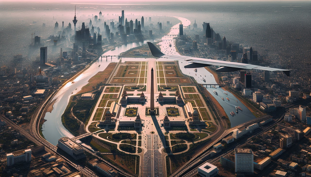
Landing at DCA
RIGHTRight-side seats provide excellent views during the descent into Reagan National. You'll see the Potomac River winding through northern Virginia, the Blue Ridge Mountains on the western horizon, and the urban sprawl of the Washington metropolitan area. The approach typically comes from the west, making the right side ideal.
Will your flight be in sunlight?
Pick a date and time in the Sun Map to watch the sun move across your whole flight.
About This Route
Which side of the plane should I sit on flying from Fresno Yosemite International (FAT) to Ronald Reagan Washington National (DCA)?
Sit on the Right side of the plane for the best views on flights from Fresno to Washington. While the left side dominates the Fresno departure with Sierra Nevada views, the right side captures more dramatic scenery during the Washington descent—the Potomac River, Blue Ridge Mountains, and D.C. urban landmarks. The landing experience outweighs the takeoff advantage.
What can I see during takeoff from Fresno Yosemite International in Fresno?
During takeoff from Fresno Yosemite International (FAT), sit on the Left side for the best views. Left-side seats offer the best views during the initial climb-out from Fresno. You'll see the Sierra Nevada mountain range rising dramatically to the east, with the Central Valley floor stretching westward. The left side captures the highest peaks and most dramatic relief. Notable sights include: Sierra Nevada (eastern escarpment), San Joaquin Valley (agricultural flatlands), Kings River drainage system, Sequoia National Park high peaks (distant).
What can I see when landing at Ronald Reagan Washington National in Washington?
When landing at Ronald Reagan Washington National (DCA), sit on the Right side for the best views. Right-side seats provide excellent views during the descent into Reagan National. You'll see the Potomac River winding through northern Virginia, the Blue Ridge Mountains on the western horizon, and the urban sprawl of the Washington metropolitan area. The approach typically comes from the west, making the right side ideal. Notable sights include: Potomac River (main channel and meanders), Blue Ridge Mountains (western horizon), Washington D.C. urban grid and monuments, Northern Virginia suburbs and Dulles corridor.
How long is the flight from Fresno to Washington?
The flight from Fresno Yosemite International (FAT) to Ronald Reagan Washington National (DCA) takes about 5 hours. The shortest flight path between them is 2,313 miles (3,722 km); winds and air traffic control usually add a few percent.
What does the Fresno to Washington flight path pass over?
The flight path crosses the southern Rocky Mountains (Colorado Plateau region), the Great Plains of eastern Colorado and Kansas, and the Appalachian foothills of West Virginia. Notable features include the Colorado Front Range (visible from altitude as a north-south ridge), the Arkansas River valley, and the transition from high plains to deciduous forest as the aircraft approaches the Appalachian region. The Ohio River valley becomes visible in the final descent phase.