The left side captures the Sierra Nevada at departure and the desert mountain ranges framing Phoenix at arrival, giving it more terrain variety and drama than the right side's flatter valley and suburban views.
Flown FAT to PHX? Did we get it right?
Flight Path
Fresno to Phoenix is 493 miles (793 km), a flight of about 1 hour 25 minutes.
Mojave Desert basin and scattered dry lake beds, with the low desert ranges of western Arizona visible as the route crosses into the Phoenix basin
Great circle distance and headings ›Phase by phase
Takeoff from FAT
LEFTClimbing southeast out of Fresno, the southern Sierra Nevada rises just to the northeast, giving left-side passengers a good look at the range's granite peaks and foothills before the terrain gives way to desert. The right side only shows the flat, hazy Central Valley farmland receding behind.
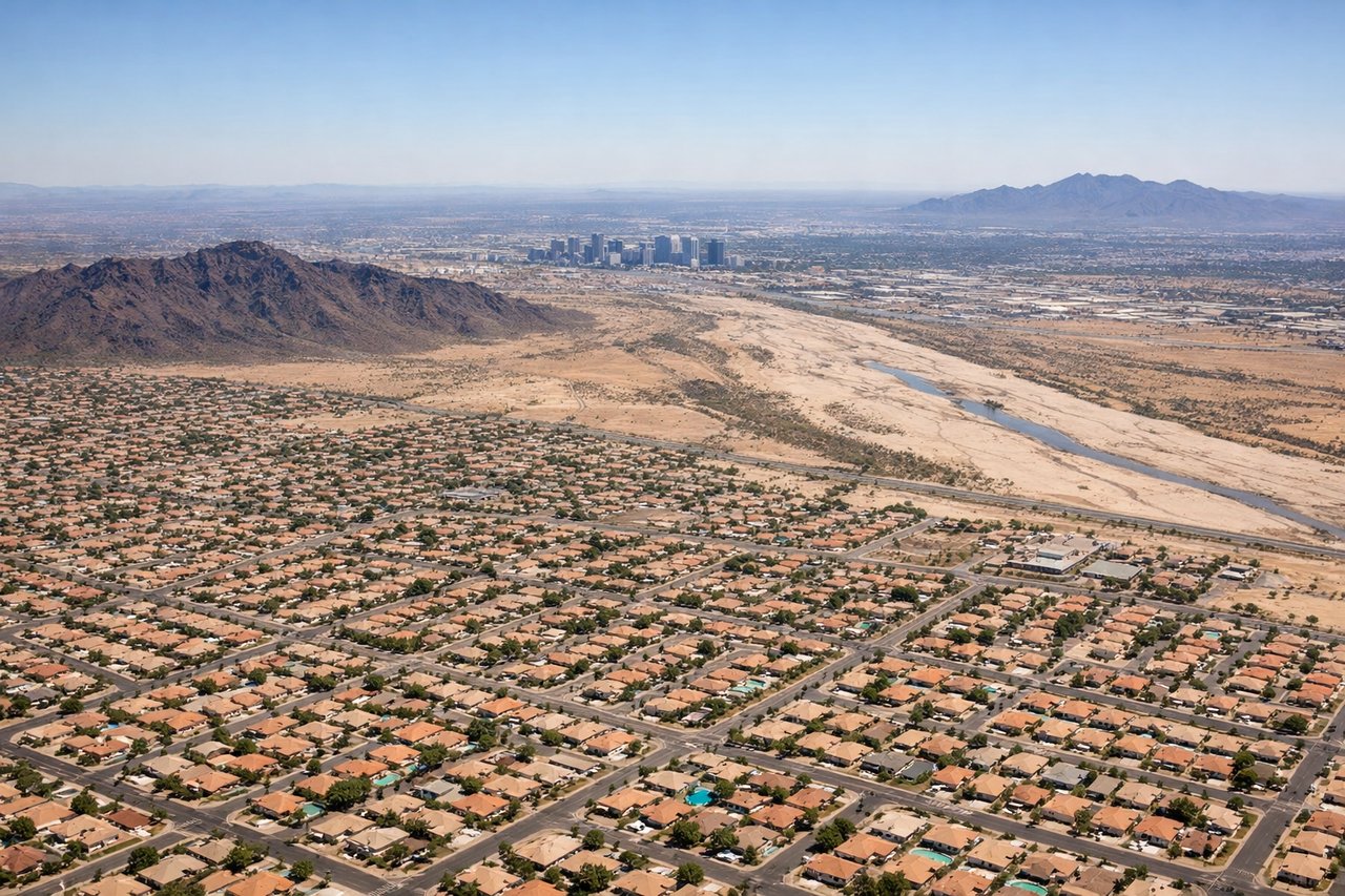
Landing at PHX
LEFTOn approach into Phoenix, the aircraft typically threads past the desert mountain rings surrounding the valley, and left-side passengers get clear views of the Superstition Mountains and the McDowell range framing the city before touchdown. The right side mostly shows flat suburban sprawl.
Will your flight be in sunlight?
Pick a date and time in the Sun Map to watch the sun move across your whole flight.
About This Route
Which side of the plane should I sit on flying from Fresno Yosemite International (FAT) to Phoenix Sky Harbor International (PHX)?
Sit on the Left side of the plane for the best views on flights from Fresno to Phoenix. The left side captures the Sierra Nevada at departure and the desert mountain ranges framing Phoenix at arrival, giving it more terrain variety and drama than the right side's flatter valley and suburban views.
What can I see during takeoff from Fresno Yosemite International in Fresno?
During takeoff from Fresno Yosemite International (FAT), sit on the Left side for the best views. Climbing southeast out of Fresno, the southern Sierra Nevada rises just to the northeast, giving left-side passengers a good look at the range's granite peaks and foothills before the terrain gives way to desert. The right side only shows the flat, hazy Central Valley farmland receding behind. Notable sights include: Southern Sierra Nevada foothills, Kings Canyon high country in the distance, San Joaquin Valley farmland fading behind.
What can I see when landing at Phoenix Sky Harbor International in Phoenix?
When landing at Phoenix Sky Harbor International (PHX), sit on the Left side for the best views. On approach into Phoenix, the aircraft typically threads past the desert mountain rings surrounding the valley, and left-side passengers get clear views of the Superstition Mountains and the McDowell range framing the city before touchdown. The right side mostly shows flat suburban sprawl. Notable sights include: Superstition Mountains, McDowell Mountains, Phoenix downtown skyline, Salt River valley.
How long is the flight from Fresno to Phoenix?
The flight from Fresno Yosemite International (FAT) to Phoenix Sky Harbor International (PHX) takes about 1 hour 25 minutes. The shortest flight path between them is 493 miles (793 km); winds and air traffic control usually add a few percent.
What does the Fresno to Phoenix flight path pass over?
Mojave Desert basin and scattered dry lake beds, with the low desert ranges of western Arizona visible as the route crosses into the Phoenix basin