Hangzhou to Osaka is 911 miles (1,466 km), a flight of about 2 hours 15 minutes.
While takeoff offers interesting bay views on the right, the landing approach on the left provides more dramatic and varied scenery: the Kii Peninsula mountains, Osaka Bay's scale, and the river delta create a more visually compelling final descent than the relatively flat Hangzhou Bay departure.
Flight Path
The flight crosses the East China Sea at roughly 30,000 feet. At midpoint, you'll be over open water with no major landmarks visible. The route typically passes south of the Izu Islands (not usually visible at cruising altitude due to distance and haze). The most notable feature is the transition from Chinese airspace to Japanese airspace around 131°E longitude, though this is not visually apparent from the window. Descent begins around 100 nautical miles west of Kansai, where the Kii Peninsula becomes visible as a dark landmass on the horizon.
Great circle distance and headings ›.jpg?width=600)

Phase by phase
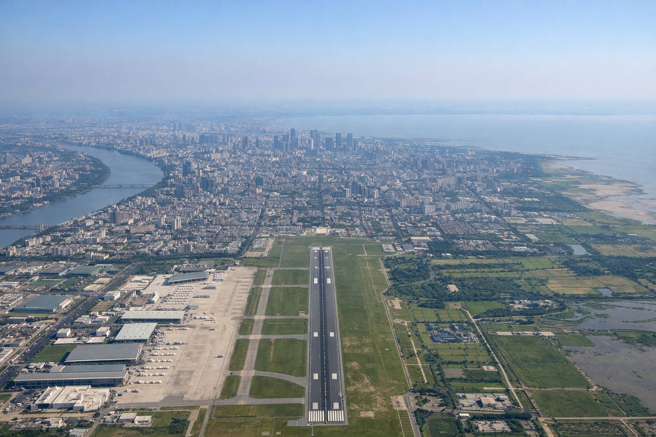
Takeoff from HGH
RIGHTRight-side seats offer views of Hangzhou Bay and the Qiantang River estuary during the initial climb-out. The bay's distinctive shape and shallow waters create visible tidal patterns, and you'll see the urban sprawl of Hangzhou city receding beneath you.
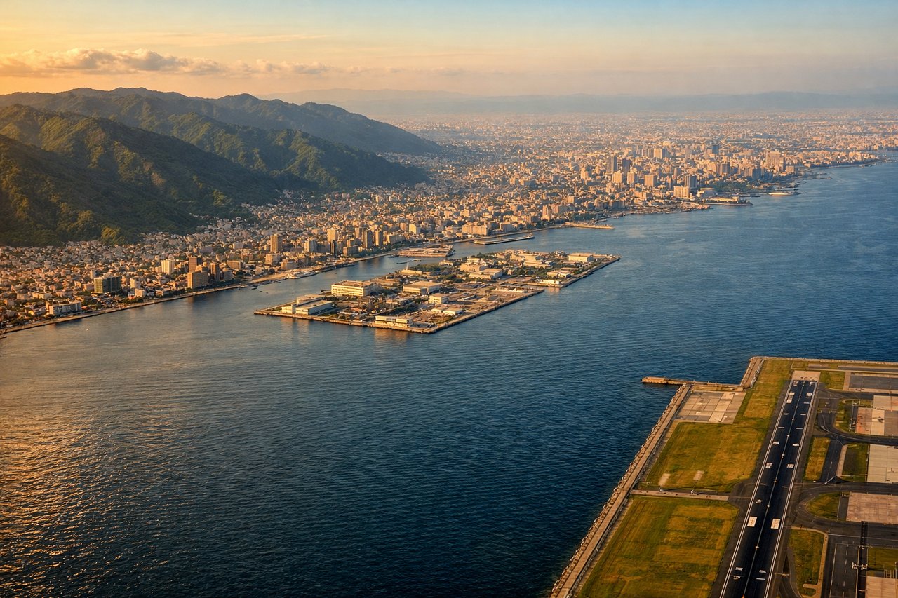
Landing at KIX
LEFTLeft-side seats provide excellent views during descent into Kansai. You'll see Osaka Bay's distinctive shape, the Kii Peninsula's mountainous terrain to the south, and the Yodo River delta. The approach path typically brings these features into clear view on the left side.
Landmarks on this routeAll landmarks →
Will your flight be in sunlight?
Pick a date and time in the Sun Map to watch the sun move across your whole flight.
About This Route
Which side of the plane should I sit on flying from Xiaoshan (HGH) to Kansai International (KIX)?
Sit on the Left side of the plane for the best views on flights from Hangzhou to Osaka. While takeoff offers interesting bay views on the right, the landing approach on the left provides more dramatic and varied scenery: the Kii Peninsula mountains, Osaka Bay's scale, and the river delta create a more visually compelling final descent than the relatively flat Hangzhou Bay departure.
What can I see during takeoff from Xiaoshan in Hangzhou?
During takeoff from Xiaoshan (HGH), sit on the Right side for the best views. Right-side seats offer views of Hangzhou Bay and the Qiantang River estuary during the initial climb-out. The bay's distinctive shape and shallow waters create visible tidal patterns, and you'll see the urban sprawl of Hangzhou city receding beneath you. Notable sights include: Hangzhou Bay (shallow coastal waters with visible tidal mudflats), Qiantang River estuary, Hangzhou city grid and urban districts, West Lake (visible as a distinct water body west of the city).
What can I see when landing at Kansai International in Osaka?
When landing at Kansai International (KIX), sit on the Left side for the best views. Left-side seats provide excellent views during descent into Kansai. You'll see Osaka Bay's distinctive shape, the Kii Peninsula's mountainous terrain to the south, and the Yodo River delta. The approach path typically brings these features into clear view on the left side. Notable sights include: Osaka Bay (large shallow bay with visible shipping lanes), Kii Peninsula mountains (forested ridges), Yodo River delta and floodplain, Osaka city sprawl and port facilities.
How long is the flight from Hangzhou to Osaka?
The flight from Xiaoshan (HGH) to Kansai International (KIX) takes about 2 hours 15 minutes. The shortest flight path between them is 911 miles (1,466 km); winds and air traffic control usually add a few percent.
What does the Hangzhou to Osaka flight path pass over?
The flight crosses the East China Sea at roughly 30,000 feet. At midpoint, you'll be over open water with no major landmarks visible. The route typically passes south of the Izu Islands (not usually visible at cruising altitude due to distance and haze). The most notable feature is the transition from Chinese airspace to Japanese airspace around 131°E longitude, though this is not visually apparent from the window. Descent begins around 100 nautical miles west of Kansai, where the Kii Peninsula becomes visible as a dark landmass on the horizon.