Honolulu to Anchorage is 2,787 miles (4,485 km), a flight of about 5 hours 15 minutes.
The left side captures the most dramatic and varied scenery: Oahu's windward Ko'olau Range on departure and the Chugach Mountains with Turnagain Arm on arrival. The right side offers less compelling views on both legs.
Flight Path
The flight path crosses the North Pacific at roughly 45°N latitude. No significant landmarks are visible during the mid-ocean portion; the route passes well north of the Hawaiian Islands and south of the Aleutian chain. Passengers will see open ocean for approximately 4 hours of the flight. As the aircraft approaches Alaska, the Alaska Range becomes visible on the distant horizon roughly 90 minutes before landing, with Mount Denali potentially visible on clear days as a distant peak to the northwest of the approach path.
Great circle distance and headings ›

Phase by phase
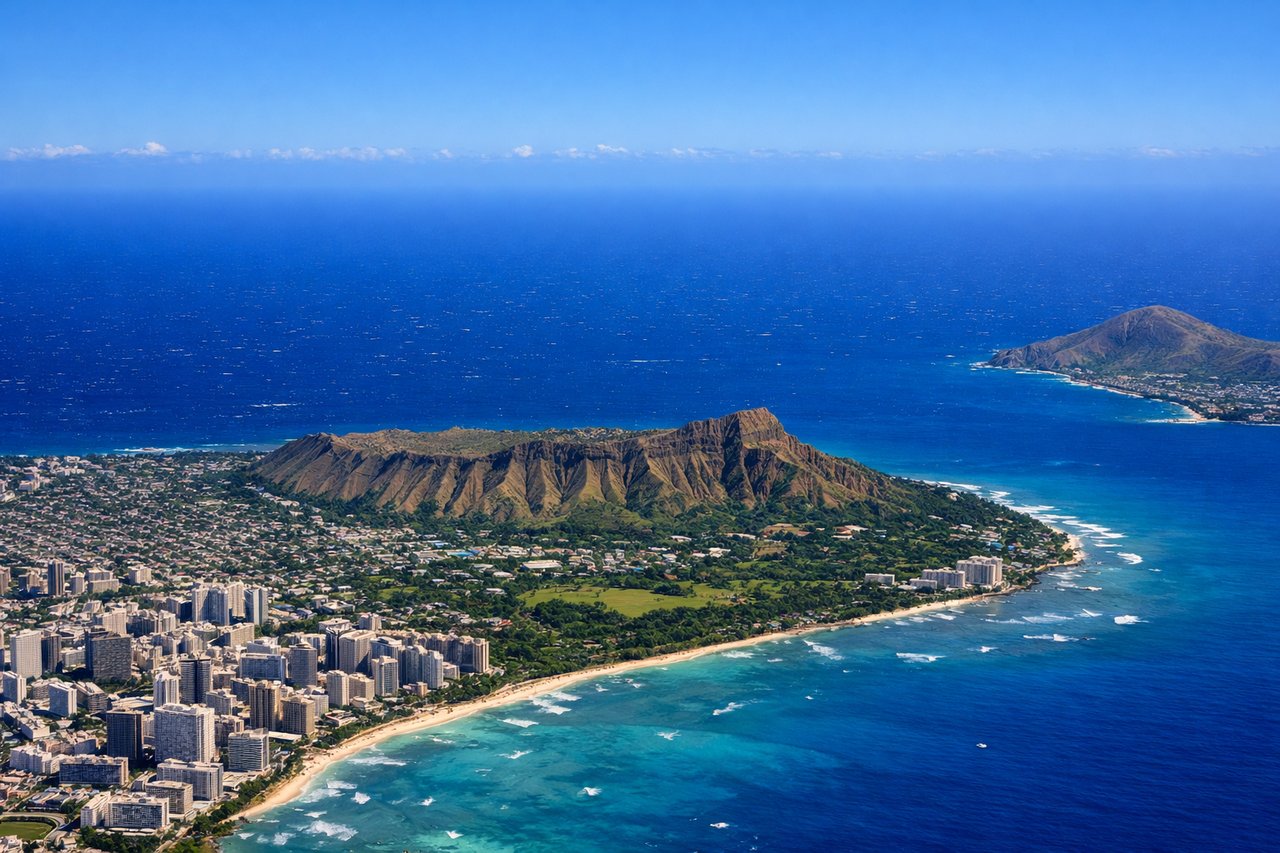
Takeoff from HNL
RIGHTHNL typically departs to the northeast on Runway 08L/R. Right-side seats face toward the Ko'olau Range and the windward side of Oahu, offering dramatic volcanic ridgelines and the transition from urban Honolulu to green mountainous terrain. Left seats look back over the city and Pearl Harbor.
Landing at EDF
LEFTElmendorf AFB (now Joint Base Elmendorf-Richardson) sits on the Kenai Peninsula south of Anchorage. Approach typically comes from the south or southeast. Left-side seats face toward the Chugach Mountains and Turnagain Arm, the dramatic tidal inlet with its mudflats and glacial silt. Right seats see the Cook Inlet and distant Alaska Range.
Landmarks on this routeAll landmarks →
Will your flight be in sunlight?
Pick a date and time in the Sun Map to watch the sun move across your whole flight.
About This Route
Which side of the plane should I sit on flying from Honolulu International (HNL) to Elmendorf Afb (EDF)?
Sit on the Left side of the plane for the best views on flights from Honolulu to Anchorage. The left side captures the most dramatic and varied scenery: Oahu's windward Ko'olau Range on departure and the Chugach Mountains with Turnagain Arm on arrival. The right side offers less compelling views on both legs.
What can I see during takeoff from Honolulu International in Honolulu?
During takeoff from Honolulu International (HNL), sit on the Right side for the best views. HNL typically departs to the northeast on Runway 08L/R. Right-side seats face toward the Ko'olau Range and the windward side of Oahu, offering dramatic volcanic ridgelines and the transition from urban Honolulu to green mountainous terrain. Left seats look back over the city and Pearl Harbor. Notable sights include: Ko'olau Range (northeast ridgeline), Kailua Bay (windward coast), Pali Notch (distinctive saddle in the range), Pearl Harbor (receding to the southwest).
What can I see when landing at Elmendorf Afb in Anchorage?
When landing at Elmendorf Afb (EDF), sit on the Left side for the best views. Elmendorf AFB (now Joint Base Elmendorf-Richardson) sits on the Kenai Peninsula south of Anchorage. Approach typically comes from the south or southeast. Left-side seats face toward the Chugach Mountains and Turnagain Arm, the dramatic tidal inlet with its mudflats and glacial silt. Right seats see the Cook Inlet and distant Alaska Range. Notable sights include: Chugach Mountains (immediate backdrop), Turnagain Arm (tidal inlet with distinctive mudflats), Anchorage city sprawl (to the north), Knik Arm (western water body).
How long is the flight from Honolulu to Anchorage?
The flight from Honolulu International (HNL) to Elmendorf Afb (EDF) takes about 5 hours 15 minutes. The shortest flight path between them is 2,787 miles (4,485 km); winds and air traffic control usually add a few percent.
What does the Honolulu to Anchorage flight path pass over?
The flight path crosses the North Pacific at roughly 45°N latitude. No significant landmarks are visible during the mid-ocean portion; the route passes well north of the Hawaiian Islands and south of the Aleutian chain. Passengers will see open ocean for approximately 4 hours of the flight. As the aircraft approaches Alaska, the Alaska Range becomes visible on the distant horizon roughly 90 minutes before landing, with Mount Denali potentially visible on clear days as a distant peak to the northwest of the approach path.