Honolulu to Pago Pago is 2,611 miles (4,202 km), a flight of about 5 hours 30 minutes.
While left seats excel during Honolulu departure, right seats dominate the landing sequence with views of Tutuila's striking volcanic landscape and Pago Pago Harbor. The landing approach offers more dramatic and distinctive scenery, making right the better overall choice for this route.
Flight Path
The flight path crosses the central Pacific Ocean south-southwest from Hawaii. Notable features include the open ocean with occasional cloud formations, the gradual transition from Hawaiian waters to tropical Pacific waters, and the approach to Samoa's exclusive economic zone. No significant land masses are visible during the midpoint cruise phase; the route passes well north of American Samoa's neighboring islands. The descent begins approximately 150 nautical miles northeast of Tutuila Island.
Great circle distance and headings ›Phase by phase
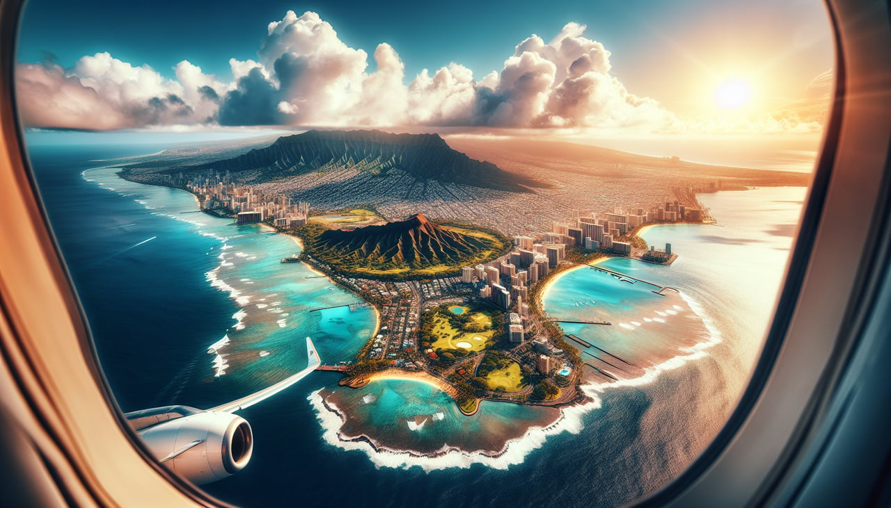
Takeoff from HNL
LEFTLeft seats offer views of the Ko'olau and Waianae mountain ranges that frame Honolulu's departure corridor. The aircraft climbs southwest over the Ala Wai Canal and urban Honolulu before banking south, giving left-side passengers the best angle on these dramatic ridgelines.
Landing at PPG
RIGHTRight seats provide the best views during the descent into Pago Pago. The aircraft approaches from the northeast over the South Pacific, and right-side passengers see the dramatic volcanic peaks of Tutuila Island and the distinctive horseshoe shape of Pago Pago Harbor as the plane descends toward the runway.
Landmarks on this routeAll landmarks →
Will your flight be in sunlight?
Pick a date and time in the Sun Map to watch the sun move across your whole flight.
About This Route
Which side of the plane should I sit on flying from Honolulu International (HNL) to Pago Pago International (PPG)?
Sit on the Right side of the plane for the best views on flights from Honolulu to Pago Pago. While left seats excel during Honolulu departure, right seats dominate the landing sequence with views of Tutuila's striking volcanic landscape and Pago Pago Harbor. The landing approach offers more dramatic and distinctive scenery, making right the better overall choice for this route.
What can I see during takeoff from Honolulu International in Honolulu?
During takeoff from Honolulu International (HNL), sit on the Left side for the best views. Left seats offer views of the Ko'olau and Waianae mountain ranges that frame Honolulu's departure corridor. The aircraft climbs southwest over the Ala Wai Canal and urban Honolulu before banking south, giving left-side passengers the best angle on these dramatic ridgelines. Notable sights include: Ko'olau Range (northeast), Waianae Range (west), Honolulu urban grid and harbor, Diamond Head crater.
What can I see when landing at Pago Pago International in Pago Pago?
When landing at Pago Pago International (PPG), sit on the Right side for the best views. Right seats provide the best views during the descent into Pago Pago. The aircraft approaches from the northeast over the South Pacific, and right-side passengers see the dramatic volcanic peaks of Tutuila Island and the distinctive horseshoe shape of Pago Pago Harbor as the plane descends toward the runway. Notable sights include: Tutuila Island volcanic peaks (Mount Lata and Matafao Peak), Pago Pago Harbor (horseshoe-shaped inlet), Rainmaker Mountain, South Pacific Ocean.
How long is the flight from Honolulu to Pago Pago?
The flight from Honolulu International (HNL) to Pago Pago International (PPG) takes about 5 hours 30 minutes. The shortest flight path between them is 2,611 miles (4,202 km); winds and air traffic control usually add a few percent.
What does the Honolulu to Pago Pago flight path pass over?
The flight path crosses the central Pacific Ocean south-southwest from Hawaii. Notable features include the open ocean with occasional cloud formations, the gradual transition from Hawaiian waters to tropical Pacific waters, and the approach to Samoa's exclusive economic zone. No significant land masses are visible during the midpoint cruise phase; the route passes well north of American Samoa's neighboring islands. The descent begins approximately 150 nautical miles northeast of Tutuila Island.