Both sides score equally at 2.0 due to the flight's ocean-dominated nature (5+ hours over open Pacific), which caps scenic potential. However, the right side edges ahead for landing approach: Tahiti's volcanic peaks, lagoon systems, and Papeete harbor provide more concentrated visual interest than Honolulu's departure, which is brief before entering open ocean. The right side's approach scenery is more dramatic and memorable than the left side's takeoff.
Flown HNL to PPT? Did we get it right?
Flight Path
Honolulu to Papeete is 2,744 miles (4,416 km), a flight of about 5 hours 45 minutes.
Open Pacific Ocean with no visible landmarks for approximately 4.5 hours of cruise. The flight path crosses the equator and passes south of the Hawaiian Islands, then approaches the Society Islands chain. No major geographic features are visible from altitude during the mid-cruise phase—only deep ocean, occasional cloud formations, and the gradual approach to French Polynesia's volcanic peaks in the final 45 minutes.
Great circle distance and headings ›

Phase by phase
Takeoff from HNL
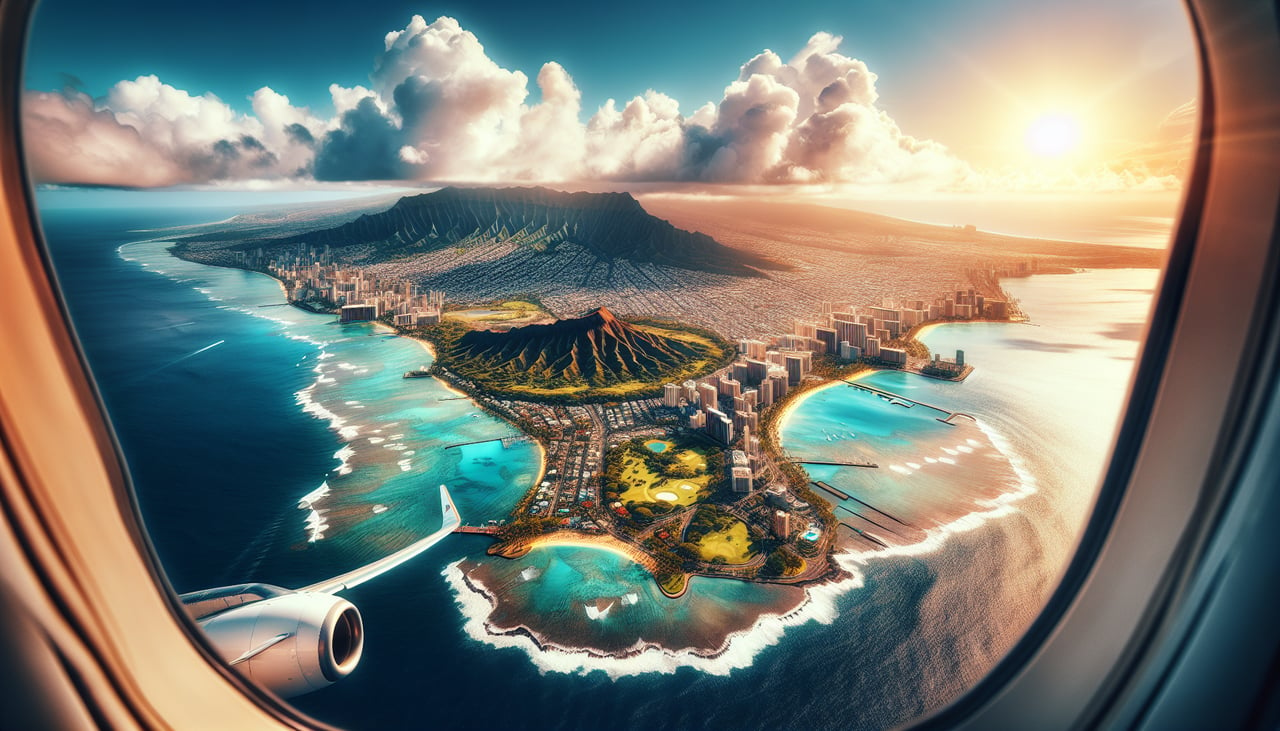
LEFTLeft side captures Honolulu's urban harbor and Diamond Head volcanic crater during departure. Right side faces open ocean immediately.
Landing at PPT
RIGHTRight side offers the approach to Papeete over Tahiti's dramatic volcanic peaks and the Society Islands. Left side faces open ocean during final descent.
Will your flight be in sunlight?
Pick a date and time in the Sun Map to watch the sun move across your whole flight.
About This Route
Which side of the plane should I sit on flying from Honolulu International (HNL) to Fa'a'ā International Airport (PPT)?
Sit on the Right side of the plane for the best views on flights from Honolulu to Papeete. Both sides score equally at 2.0 due to the flight's ocean-dominated nature (5+ hours over open Pacific), which caps scenic potential. However, the right side edges ahead for landing approach: Tahiti's volcanic peaks, lagoon systems, and Papeete harbor provide more concentrated visual interest than Honolulu's departure, which is brief before entering open ocean. The right side's approach scenery is more dramatic and memorable than the left side's takeoff.
What can I see during takeoff from Honolulu International in Honolulu?
During takeoff from Honolulu International (HNL), sit on the Left side for the best views. Left side captures Honolulu's urban harbor and Diamond Head volcanic crater during departure. Right side faces open ocean immediately. Notable sights include: Diamond Head crater, Honolulu harbor and waterfront, Waikiki Beach district, Koolau mountain range.
What can I see when landing at Fa'a'ā International Airport in Papeete?
When landing at Fa'a'ā International Airport (PPT), sit on the Right side for the best views. Right side offers the approach to Papeete over Tahiti's dramatic volcanic peaks and the Society Islands. Left side faces open ocean during final descent. Notable sights include: Mount Orohena (Tahiti's highest peak), Papeete harbor and waterfront, Moorea island (visible across the channel), coral reef systems.
How long is the flight from Honolulu to Papeete?
The flight from Honolulu International (HNL) to Fa'a'ā International Airport (PPT) takes about 5 hours 45 minutes. The shortest flight path between them is 2,744 miles (4,416 km); winds and air traffic control usually add a few percent.
What does the Honolulu to Papeete flight path pass over?
Open Pacific Ocean with no visible landmarks for approximately 4.5 hours of cruise. The flight path crosses the equator and passes south of the Hawaiian Islands, then approaches the Society Islands chain. No major geographic features are visible from altitude during the mid-cruise phase—only deep ocean, occasional cloud formations, and the gradual approach to French Polynesia's volcanic peaks in the final 45 minutes.