The right side captures Iceland's volcanic departure terrain, a glimpse of Nova Scotia's coastline along the great-circle route, and a scenic harbor approach into Boston, while the left side faces mostly open, featureless ocean for the bulk of the flight.
Flown KEF to BOS? Did we get it right?
Flight Path
Keflavik to Boston is 2,408 miles (3,875 km), a flight of about 5 hours 40 minutes.
The route passes south of Greenland's tip and skirts near the coast of Nova Scotia and the Gulf of Maine before descending into Boston, with the rest of the crossing over open North Atlantic waters.
Great circle distance and headings ›Phase by phase
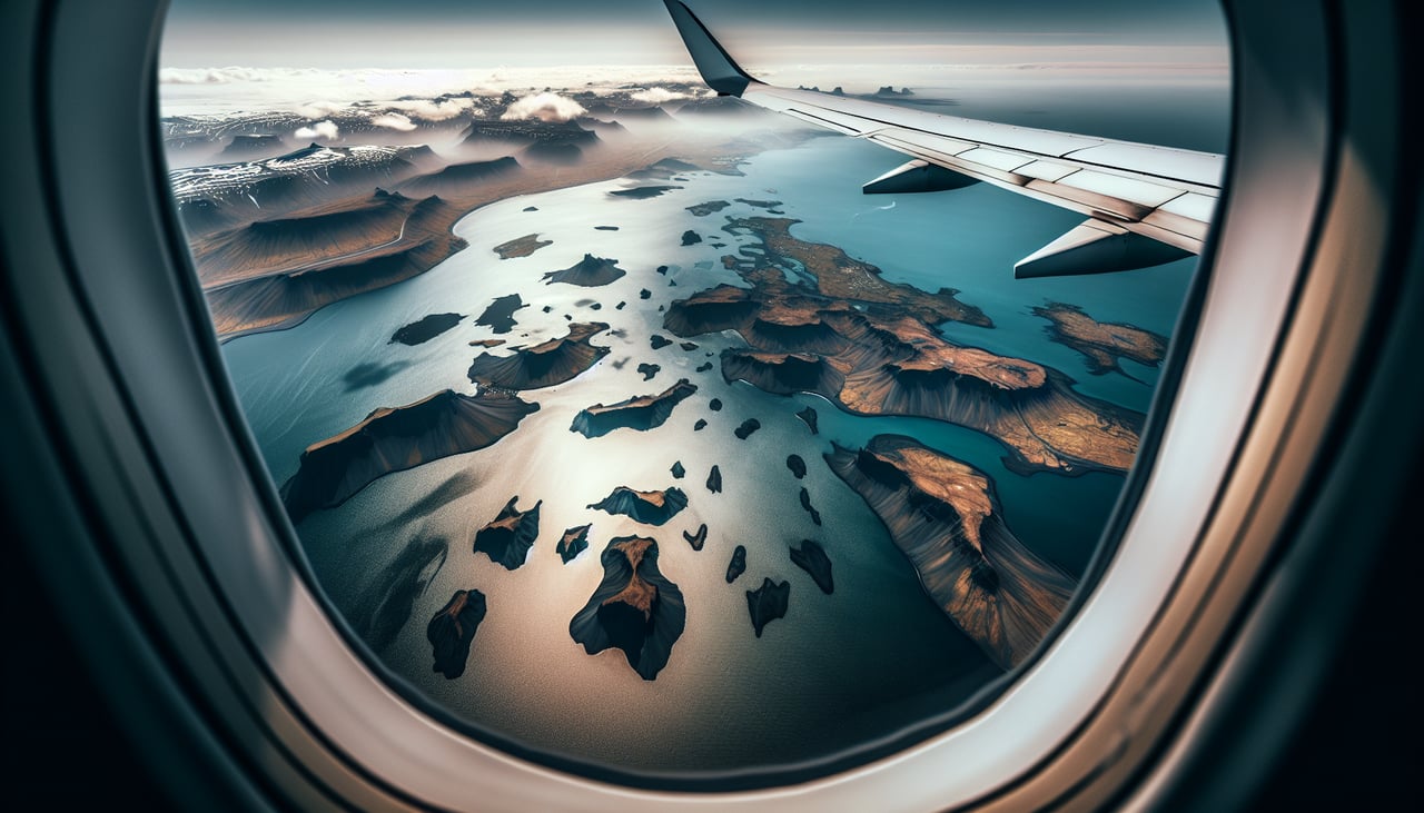
Takeoff from KEF
RIGHTDeparting KEF on runway 19, the climb-out curves the aircraft over the Reykjanes Peninsula's volcanic terrain before turning west for the Atlantic crossing. Passengers on the right see the black lava fields, geothermal steam plumes, and jagged coastline receding below.
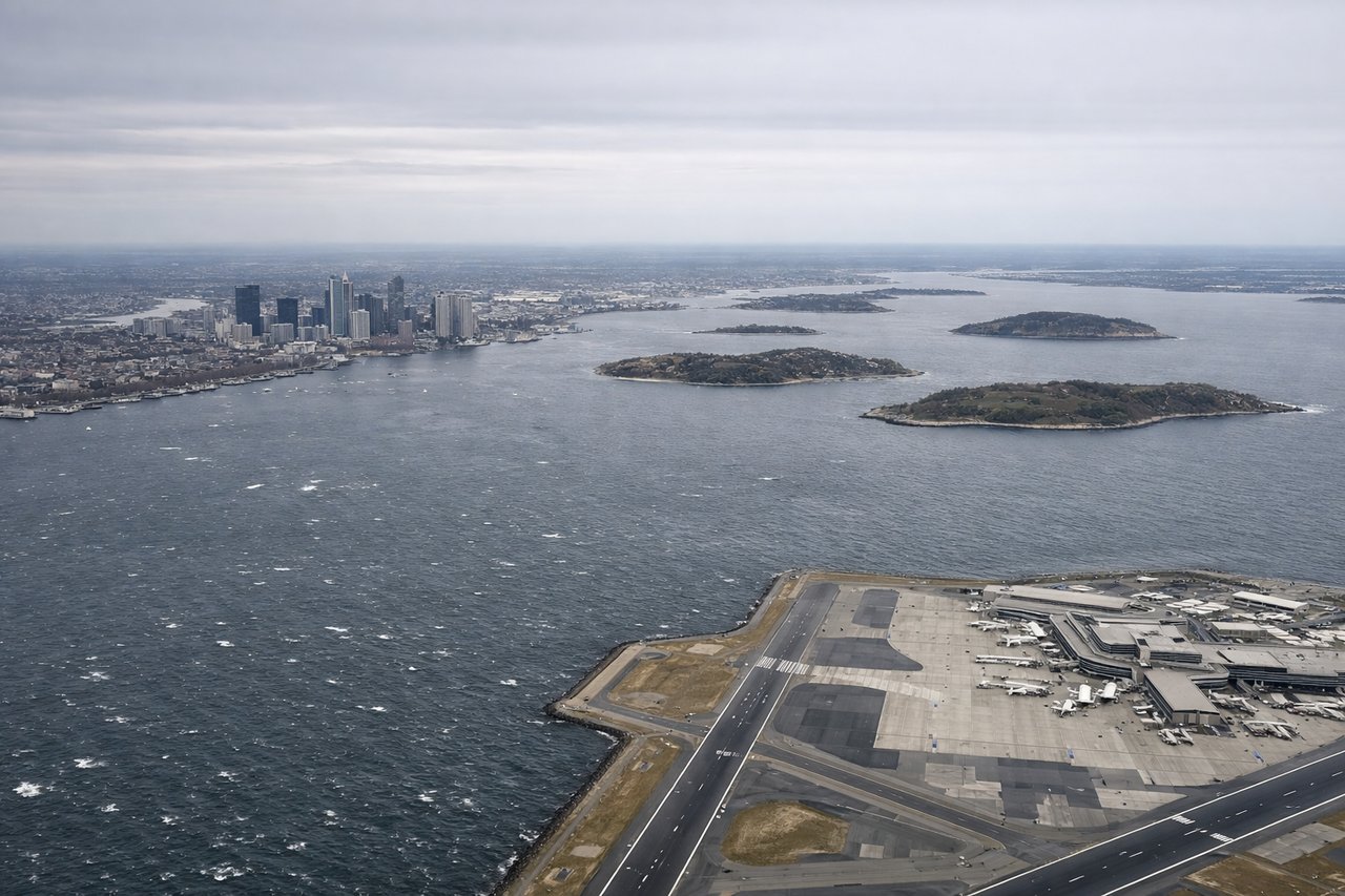
Landing at BOS
RIGHTOn approach into Boston, arrivals crossing Massachusetts Bay typically bank toward the harbor before lining up on final, giving right-side passengers a clear view of the Boston skyline, the Inner Harbor, and Logan's peninsula jutting into the water.
Will your flight be in sunlight?
Pick a date and time in the Sun Map to watch the sun move across your whole flight.
About This Route
Which side of the plane should I sit on flying from Keflavik Nas (KEF) to General Edward Lawrence Logan International (BOS)?
Sit on the Right side of the plane for the best views on flights from Keflavik to Boston. The right side captures Iceland's volcanic departure terrain, a glimpse of Nova Scotia's coastline along the great-circle route, and a scenic harbor approach into Boston, while the left side faces mostly open, featureless ocean for the bulk of the flight.
What can I see during takeoff from Keflavik Nas in Keflavik?
During takeoff from Keflavik Nas (KEF), sit on the Right side for the best views. Departing KEF on runway 19, the climb-out curves the aircraft over the Reykjanes Peninsula's volcanic terrain before turning west for the Atlantic crossing. Passengers on the right see the black lava fields, geothermal steam plumes, and jagged coastline receding below. Notable sights include: Reykjanes Peninsula lava fields, Atlantic coastline cliffs, geothermal steam vents, Keflavik's rugged shoreline.
What can I see when landing at General Edward Lawrence Logan International in Boston?
When landing at General Edward Lawrence Logan International (BOS), sit on the Right side for the best views. On approach into Boston, arrivals crossing Massachusetts Bay typically bank toward the harbor before lining up on final, giving right-side passengers a clear view of the Boston skyline, the Inner Harbor, and Logan's peninsula jutting into the water. Notable sights include: Boston skyline, Boston Harbor Islands, Logan Airport peninsula, Charles River mouth.
How long is the flight from Keflavik to Boston?
The flight from Keflavik Nas (KEF) to General Edward Lawrence Logan International (BOS) takes about 5 hours 40 minutes. The shortest flight path between them is 2,408 miles (3,875 km); winds and air traffic control usually add a few percent.
What does the Keflavik to Boston flight path pass over?
The route passes south of Greenland's tip and skirts near the coast of Nova Scotia and the Gulf of Maine before descending into Boston, with the rest of the crossing over open North Atlantic waters.