While the right side wins the Kona takeoff with volcanic terrain, the left side delivers the more memorable overall experience thanks to the Seattle skyline, Puget Sound, and Mount Rainier during descent—landmarks with more visual impact than the distant Olympic Mountains on the right.
Flight Path
The route crosses purely open Pacific Ocean for most of the flight with no visible land features until the Washington coastline appears near the end of the journey.
Great circle distance and headings ›

Phase by phase
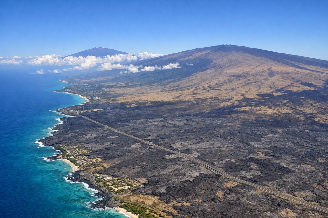
Takeoff from KOA
RIGHTDeparting Kona to the north, the Big Island's volcanic slopes—Hualalai looming right over the airport and Mauna Loa's massive shield further inland—stay visible on the right as the plane climbs along the coastline. The left side shows only open Pacific water.
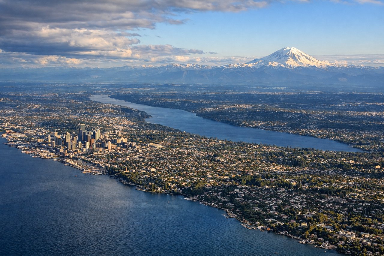
Landing at SEA
LEFTOn the southbound approach into SEA, passengers on the left get a clear view of the Seattle skyline and Puget Sound, with Mount Rainier's snow-capped cone often visible in the distance to the southeast. The right side shows the Olympic Mountains, but they're farther and less iconic.
Landmarks on this routeAll landmarks →
Will your flight be in sunlight?
See exactly which side of the plane gets sun and shade at your departure time.
About This Route
Which side of the plane should I sit on flying from Kona International At Keahole (KOA) to Seattle Tacoma International (SEA)?
Sit on the Left side of the plane for the best views on flights from Kona to Seattle. While the right side wins the Kona takeoff with volcanic terrain, the left side delivers the more memorable overall experience thanks to the Seattle skyline, Puget Sound, and Mount Rainier during descent—landmarks with more visual impact than the distant Olympic Mountains on the right.
What can I see during takeoff from Kona International At Keahole in Kona?
During takeoff from Kona International At Keahole (KOA), sit on the Right side for the best views. Departing Kona to the north, the Big Island's volcanic slopes—Hualalai looming right over the airport and Mauna Loa's massive shield further inland—stay visible on the right as the plane climbs along the coastline. The left side shows only open Pacific water. Notable sights include: Hualalai volcano, Mauna Loa's summit, Kona coastline lava fields, Pacific Ocean horizon.
What can I see when landing at Seattle Tacoma International in Seattle?
When landing at Seattle Tacoma International (SEA), sit on the Left side for the best views. On the southbound approach into SEA, passengers on the left get a clear view of the Seattle skyline and Puget Sound, with Mount Rainier's snow-capped cone often visible in the distance to the southeast. The right side shows the Olympic Mountains, but they're farther and less iconic. Notable sights include: Seattle downtown skyline, Puget Sound and its islands, Mount Rainier, Lake Washington.
How long is the flight from Kona to Seattle?
The flight from Kona International At Keahole (KOA) to Seattle Tacoma International (SEA) takes 6h 10m.
What does the Kona to Seattle flight path pass over?
The route crosses purely open Pacific Ocean for most of the flight with no visible land features until the Washington coastline appears near the end of the journey.