Manila to Frankfurt is 6,399 miles (10,298 km), a flight of about 11 hours 15 minutes.
Right side scores 3.5 vs left's 2.5 due to superior coastal and valley scenery. Takeoff over Manila Bay and its islands provides immediate visual interest; cruise phase over the South China Sea and Southeast Asian coastlines offers moderate variety; landing descent into the Main River valley with Taunus Mountains and Frankfurt skyline delivers strong approach scenery. Left side is dominated by flat terrain, inland plains, and open ocean with minimal landmark density.
Flight Path
South China Sea (open water, 5+ hours), Indochina Peninsula coastline (Vietnam, Cambodia, Thailand), Andaman Sea, Indian Ocean, Arabian Sea, Persian Gulf region, Zagros Mountains (Iran), Mesopotamian plains (Iraq), Taurus Mountains (Turkey), Danube River valley (Hungary/Austria), and the Rhine-Main valley approaching Frankfurt. The cruise phase is ocean-dominated for approximately 6 hours, limiting scenic value on both sides during mid-flight.
Great circle distance and headings ›.jpg?width=600)


Phase by phase
Takeoff from MNL
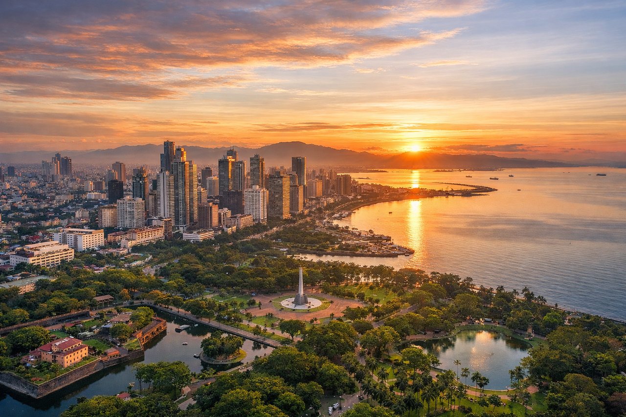
RIGHTRight side captures Manila Bay and the coastal urban sprawl of Metro Manila during departure. Depending on runway direction (06 or 24), aircraft typically climb over or near the bay, offering views of Corregidor Island, the Bataan Peninsula, and the Cavite coastline. Left side departs over inland Laguna and Rizal provinces—flat, densely populated but visually monotonous.

Landing at FRA
RIGHTRight side (north) offers superior approach scenery into Frankfurt. Aircraft descending from the northeast typically follow the Main River valley, which is visible from altitude and provides a natural geographic corridor. The right side captures the Rhine-Main confluence region, the forested hills of the Taunus and Spessart ranges flanking the valley, and the urban sprawl of Frankfurt's skyline and surrounding towns. Left side (south) descends over the relatively flat Hessian plains and industrial areas south of the airport—less dramatic.
Landmarks on this routeAll landmarks →
Will your flight be in sunlight?
Pick a date and time in the Sun Map to watch the sun move across your whole flight.
About This Route
Which side of the plane should I sit on flying from Ninoy Aquino International (MNL) to Frankfurt Main (FRA)?
Sit on the Right side of the plane for the best views on flights from Manila to Frankfurt. Right side scores 3.5 vs left's 2.5 due to superior coastal and valley scenery. Takeoff over Manila Bay and its islands provides immediate visual interest; cruise phase over the South China Sea and Southeast Asian coastlines offers moderate variety; landing descent into the Main River valley with Taunus Mountains and Frankfurt skyline delivers strong approach scenery. Left side is dominated by flat terrain, inland plains, and open ocean with minimal landmark density.
What can I see during takeoff from Ninoy Aquino International in Manila?
During takeoff from Ninoy Aquino International (MNL), sit on the Right side for the best views. Right side captures Manila Bay and the coastal urban sprawl of Metro Manila during departure. Depending on runway direction (06 or 24), aircraft typically climb over or near the bay, offering views of Corregidor Island, the Bataan Peninsula, and the Cavite coastline. Left side departs over inland Laguna and Rizal provinces—flat, densely populated but visually monotonous. Notable sights include: Manila Bay, Corregidor Island, Bataan Peninsula, Cavite coastal towns.
What can I see when landing at Frankfurt Main in Frankfurt?
When landing at Frankfurt Main (FRA), sit on the Right side for the best views. Right side (north) offers superior approach scenery into Frankfurt. Aircraft descending from the northeast typically follow the Main River valley, which is visible from altitude and provides a natural geographic corridor. The right side captures the Rhine-Main confluence region, the forested hills of the Taunus and Spessart ranges flanking the valley, and the urban sprawl of Frankfurt's skyline and surrounding towns. Left side (south) descends over the relatively flat Hessian plains and industrial areas south of the airport—less dramatic. Notable sights include: Main River valley, Taunus Mountains, Frankfurt skyline, Rhine-Main confluence region.
How long is the flight from Manila to Frankfurt?
The flight from Ninoy Aquino International (MNL) to Frankfurt Main (FRA) takes about 11 hours 15 minutes. The shortest flight path between them is 6,399 miles (10,298 km); winds and air traffic control usually add a few percent.
What does the Manila to Frankfurt flight path pass over?
South China Sea (open water, 5+ hours), Indochina Peninsula coastline (Vietnam, Cambodia, Thailand), Andaman Sea, Indian Ocean, Arabian Sea, Persian Gulf region, Zagros Mountains (Iran), Mesopotamian plains (Iraq), Taurus Mountains (Turkey), Danube River valley (Hungary/Austria), and the Rhine-Main valley approaching Frankfurt. The cruise phase is ocean-dominated for approximately 6 hours, limiting scenic value on both sides during mid-flight.