While takeoff offers Manila Bay views on the right, the landing approach into Gimpo provides more dramatic and sustained scenery on the left—the Han River's meanders, Seoul's urban density, and Bukhansan's forested mountains create a more visually compelling final descent than the departure.
Flown MNL to GMP? Did we get it right?
Flight Path
Manila to Seoul is 1,631 miles (2,626 km), a flight of about 3 hours 55 minutes.
The flight path crosses the East China Sea northwestward. Notable features include the Korean Strait (visible as the water boundary between South Korea and Japan), the western coast of South Korea with its complex island geography and Yellow Sea inlets, and the transition from open ocean to the Korean peninsula's mountainous interior. The Taebaek Mountains form the eastern spine of Korea but are typically not visible on this westbound approach corridor. Jeju Island may be visible to the south during the initial climb-out from Manila if flying at optimal altitude and clear conditions, though it's not guaranteed on this route.
Great circle distance and headings ›Phase by phase
Takeoff from MNL
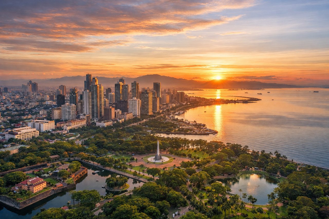
RIGHTRight-side seats offer views of Manila Bay and the coastal geography immediately east of the airport during northbound climb-out. You'll see the irregular shoreline, island formations, and the transition from urban Manila to open water as the aircraft climbs northward.
Landing at GMP
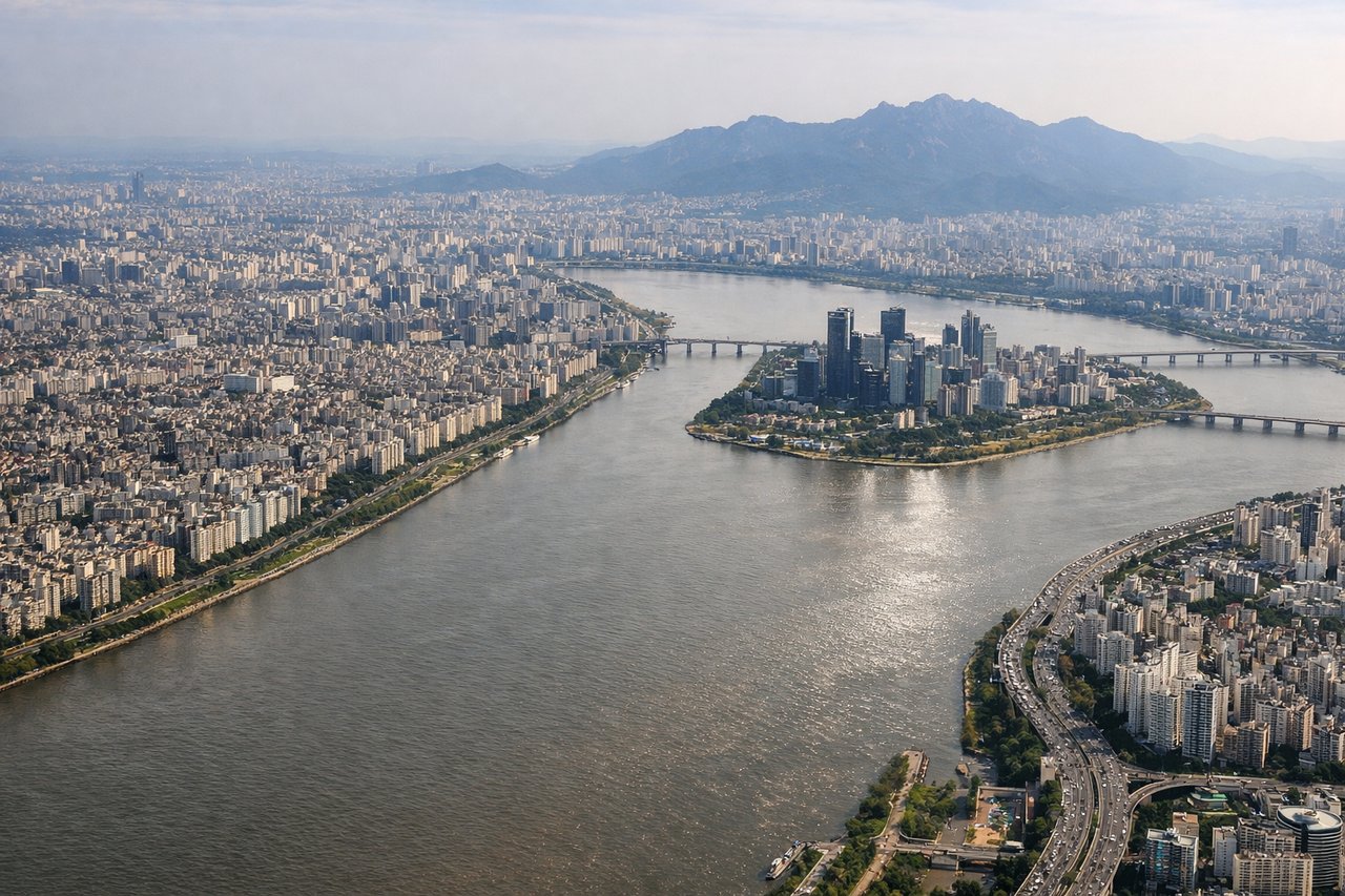
LEFTLeft-side seats provide excellent views during the final approach into Gimpo, with clear sightlines of the Han River, Seoul's urban landscape, and the surrounding terrain. The aircraft descends from the southwest, making the left side optimal for viewing the river's distinctive meanders and the city's layout.
Will your flight be in sunlight?
Pick a date and time in the Sun Map to watch the sun move across your whole flight.
About This Route
Which side of the plane should I sit on flying from Ninoy Aquino International (MNL) to Gimpo (GMP)?
Sit on the Left side of the plane for the best views on flights from Manila to Seoul. While takeoff offers Manila Bay views on the right, the landing approach into Gimpo provides more dramatic and sustained scenery on the left—the Han River's meanders, Seoul's urban density, and Bukhansan's forested mountains create a more visually compelling final descent than the departure.
What can I see during takeoff from Ninoy Aquino International in Manila?
During takeoff from Ninoy Aquino International (MNL), sit on the Right side for the best views. Right-side seats offer views of Manila Bay and the coastal geography immediately east of the airport during northbound climb-out. You'll see the irregular shoreline, island formations, and the transition from urban Manila to open water as the aircraft climbs northward. Notable sights include: Manila Bay (immediate east), Laguna de Bay (southeast, visible as large inland water body), Corregidor Island (west-southwest in bay), Sierra Madre mountain range (distant northeast, forming the horizon).
What can I see when landing at Gimpo in Seoul?
When landing at Gimpo (GMP), sit on the Left side for the best views. Left-side seats provide excellent views during the final approach into Gimpo, with clear sightlines of the Han River, Seoul's urban landscape, and the surrounding terrain. The aircraft descends from the southwest, making the left side optimal for viewing the river's distinctive meanders and the city's layout. Notable sights include: Han River (primary visual feature, running north-south through Seoul), Seoul metropolitan area (dense urban grid), Bukhansan National Park (northern mountains, visible as forested ridge), Incheon area (western plains and industrial zones).
How long is the flight from Manila to Seoul?
The flight from Ninoy Aquino International (MNL) to Gimpo (GMP) takes about 3 hours 55 minutes. The shortest flight path between them is 1,631 miles (2,626 km); winds and air traffic control usually add a few percent.
What does the Manila to Seoul flight path pass over?
The flight path crosses the East China Sea northwestward. Notable features include the Korean Strait (visible as the water boundary between South Korea and Japan), the western coast of South Korea with its complex island geography and Yellow Sea inlets, and the transition from open ocean to the Korean peninsula's mountainous interior. The Taebaek Mountains form the eastern spine of Korea but are typically not visible on this westbound approach corridor. Jeju Island may be visible to the south during the initial climb-out from Manila if flying at optimal altitude and clear conditions, though it's not guaranteed on this route.