The right side delivers the strongest bookends of the flight: Manila Bay and the Bataan coastline on departure, and Hong Kong's iconic harbor skyline on arrival, while the left side faces mostly open South China Sea for the bulk of the trip.
Flight Path
Open South China Sea (West Philippine Sea) with no landmasses visible; the route stays over water between the Luzon coast and the Pearl River Delta approach.
Great circle distance and headings ›.jpg?width=600)

Phase by phase
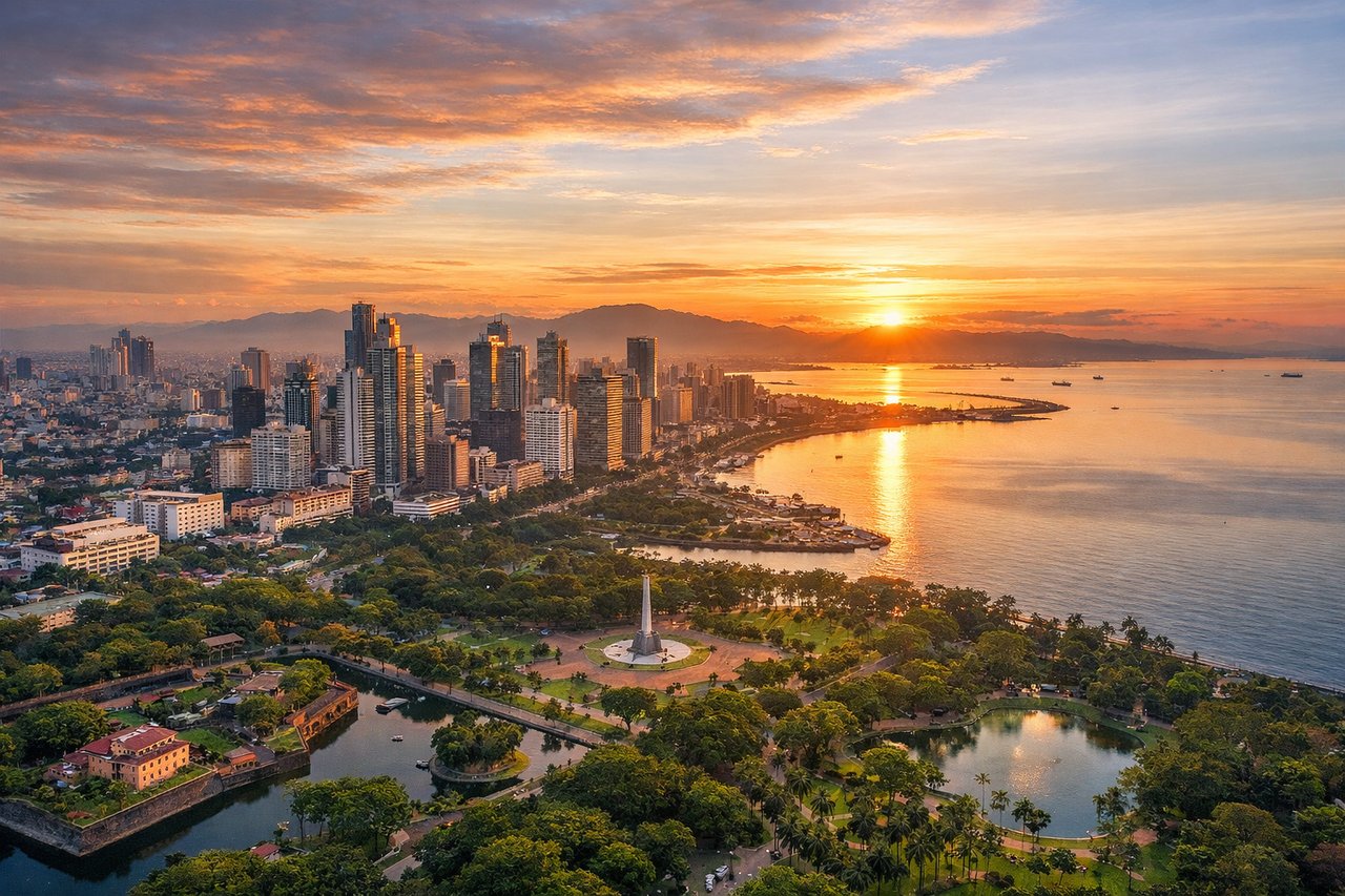
Takeoff from MNL
RIGHTAfter departure, the aircraft climbs out and turns onto a northwest heading toward Hong Kong, keeping the Luzon coastline on the right side of the cabin. Passengers get a clear look at Manila Bay, Corregidor Island guarding its mouth, and the Bataan Peninsula's hills receding below before the route heads out over open water.
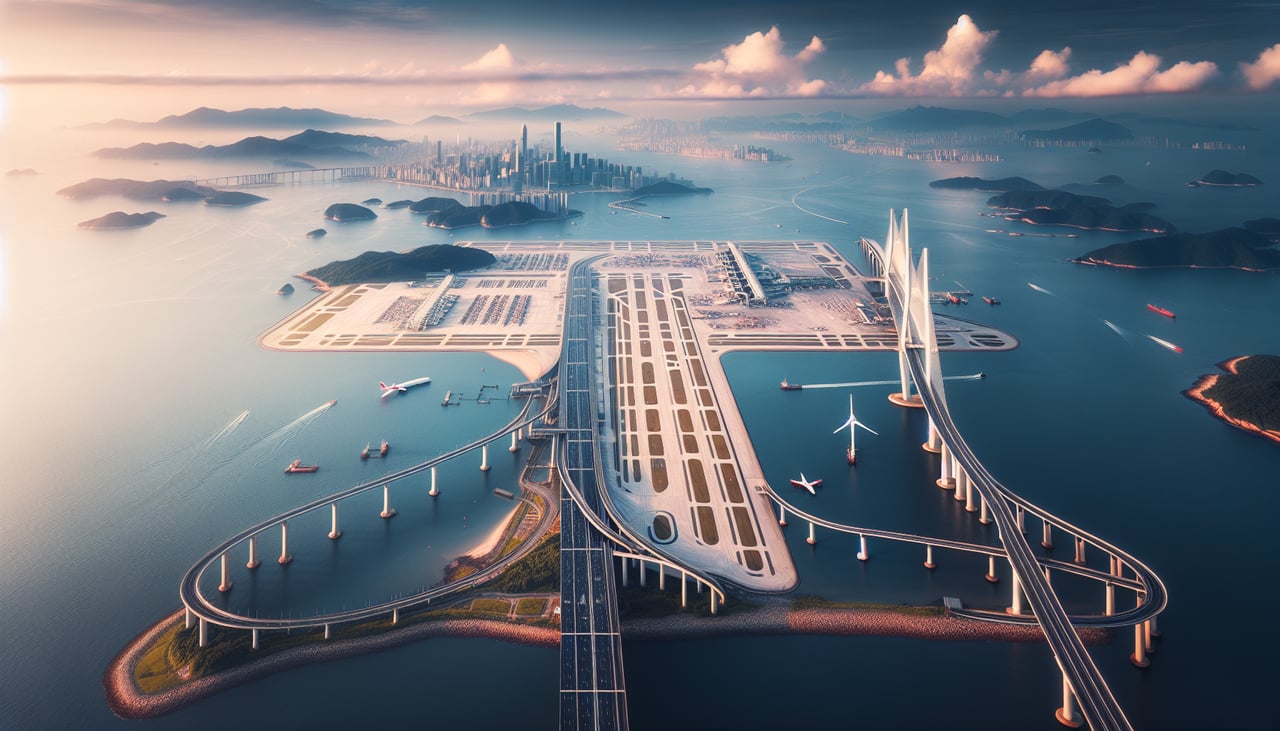
Landing at HKG
RIGHTOn approach into Hong Kong from the south, the final turn toward the runway swings the aircraft past Hong Kong Island, putting Victoria Harbour and the dense skyline on the right side of the plane. Lantau's mountains sit closer on the left, but the harbor and skyline view is the more dramatic and recognizable sight.
Landmarks on this routeAll landmarks →
Will your flight be in sunlight?
See exactly which side of the plane gets sun and shade at your departure time.
About This Route
Which side of the plane should I sit on flying from Ninoy Aquino International (MNL) to Hong Kong International (HKG)?
Sit on the Right side of the plane for the best views on flights from Manila to Hong Kong. The right side delivers the strongest bookends of the flight: Manila Bay and the Bataan coastline on departure, and Hong Kong's iconic harbor skyline on arrival, while the left side faces mostly open South China Sea for the bulk of the trip.
What can I see during takeoff from Ninoy Aquino International in Manila?
During takeoff from Ninoy Aquino International (MNL), sit on the Right side for the best views. After departure, the aircraft climbs out and turns onto a northwest heading toward Hong Kong, keeping the Luzon coastline on the right side of the cabin. Passengers get a clear look at Manila Bay, Corregidor Island guarding its mouth, and the Bataan Peninsula's hills receding below before the route heads out over open water. Notable sights include: Manila Bay, Corregidor Island, Bataan Peninsula, Zambales mountain foothills.
What can I see when landing at Hong Kong International in Hong Kong?
When landing at Hong Kong International (HKG), sit on the Right side for the best views. On approach into Hong Kong from the south, the final turn toward the runway swings the aircraft past Hong Kong Island, putting Victoria Harbour and the dense skyline on the right side of the plane. Lantau's mountains sit closer on the left, but the harbor and skyline view is the more dramatic and recognizable sight. Notable sights include: Victoria Harbour, Hong Kong Island skyline, Kowloon peninsula, Lantau Island coastline.
How long is the flight from Manila to Hong Kong?
The flight from Ninoy Aquino International (MNL) to Hong Kong International (HKG) takes 1h 55m.
What does the Manila to Hong Kong flight path pass over?
Open South China Sea (West Philippine Sea) with no landmasses visible; the route stays over water between the Luzon coast and the Pearl River Delta approach.