The right side delivers a more consistent scenic experience — Luzon's Sierra Madre range at takeoff and Taiwan's Central Mountain Range at landing — while the left side is dominated by open ocean for most of the short flight.
Flown MNL to KHH? Did we get it right?
Flight Path
Manila to Kaohsiung is 559 miles (900 km), a flight of about 1 hour 55 minutes.
Luzon Strait (Bashi Channel), Batanes Islands visible in clear conditions, open waters of the Taiwan Strait approach
Great circle distance and headings ›Phase by phase
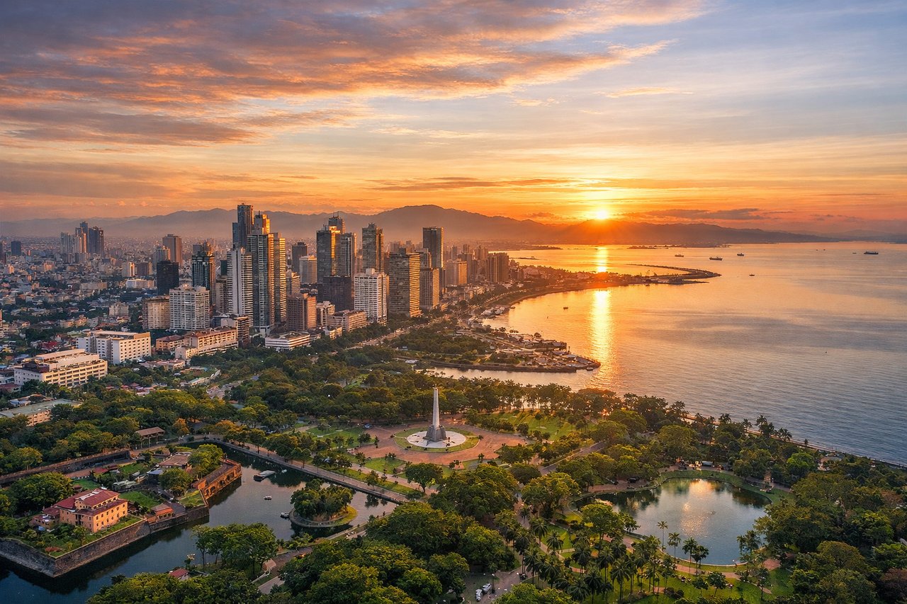
Takeoff from MNL
RIGHTDeparting MNL heading north-northeast, the right side faces east toward the Sierra Madre mountain range running along Luzon's eastern spine, with Laguna de Bay visible just after takeoff. The left side mostly shows the flatter Zambales coastline and open South China Sea.
Landing at KHH
RIGHTOn approach into KHH, the descent path skirts Taiwan's southwestern coast, and the right side reveals the dramatic Central Mountain Range rising abruptly just inland, a striking contrast to the flat coastal plain around Kaohsiung. The left side over the Taiwan Strait stays mostly featureless water.
Will your flight be in sunlight?
Pick a date and time in the Sun Map to watch the sun move across your whole flight.
About This Route
Which side of the plane should I sit on flying from Ninoy Aquino International (MNL) to Kaohsiung International (KHH)?
Sit on the Right side of the plane for the best views on flights from Manila to Kaohsiung. The right side delivers a more consistent scenic experience — Luzon's Sierra Madre range at takeoff and Taiwan's Central Mountain Range at landing — while the left side is dominated by open ocean for most of the short flight.
What can I see during takeoff from Ninoy Aquino International in Manila?
During takeoff from Ninoy Aquino International (MNL), sit on the Right side for the best views. Departing MNL heading north-northeast, the right side faces east toward the Sierra Madre mountain range running along Luzon's eastern spine, with Laguna de Bay visible just after takeoff. The left side mostly shows the flatter Zambales coastline and open South China Sea. Notable sights include: Sierra Madre mountain range, Laguna de Bay, Manila Bay skyline, Corregidor Island.
What can I see when landing at Kaohsiung International in Kaohsiung?
When landing at Kaohsiung International (KHH), sit on the Right side for the best views. On approach into KHH, the descent path skirts Taiwan's southwestern coast, and the right side reveals the dramatic Central Mountain Range rising abruptly just inland, a striking contrast to the flat coastal plain around Kaohsiung. The left side over the Taiwan Strait stays mostly featureless water. Notable sights include: Central Mountain Range, Kaohsiung Harbor, Cijin Island, Love River delta.
How long is the flight from Manila to Kaohsiung?
The flight from Ninoy Aquino International (MNL) to Kaohsiung International (KHH) takes about 1 hour 55 minutes. The shortest flight path between them is 559 miles (900 km); winds and air traffic control usually add a few percent.
What does the Manila to Kaohsiung flight path pass over?
Luzon Strait (Bashi Channel), Batanes Islands visible in clear conditions, open waters of the Taiwan Strait approach