While the landing approach favors the left, the takeoff from Manila offers more dramatic and sustained scenic value with the Sierra Madre range and Manila Bay. The right side also captures better views during the long Pacific crossing if you're interested in occasional glimpses of the Aleutian Islands and Alaskan coastline on the northern route.
Flown MNL to YTZ? Did we get it right?
Flight Path
Manila to Toronto is 8,218 miles (13,225 km), a flight of about 16 hours 30 minutes.
The flight path crosses the Pacific northwestward, passing over or near the Philippine Sea, then across open ocean toward Japan. Depending on routing, you may see the Kuril Islands or Aleutian Islands chain during the northern Pacific crossing. The approach to North America typically brings views of the British Columbia coast, the Rocky Mountains (if routed south), or the Canadian Shield and Great Lakes region as you descend toward Toronto.
Great circle distance and headings ›Phase by phase
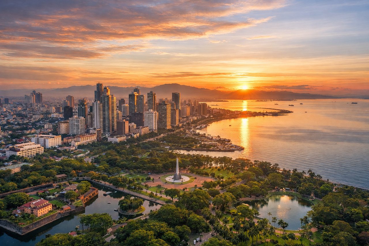
Takeoff from MNL
RIGHTRight-side seats offer views of Manila Bay and the Sierra Madre mountain range as the aircraft climbs northeastward from Ninoy Aquino. The bay's distinctive shape and the dark volcanic peaks provide strong visual contrast during the initial climb.
Landing at YTZ
LEFTLeft-side seats provide views of Lake Ontario and the Toronto waterfront during approach from the east. The lake's expanse, the Toronto Islands, and the downtown skyline along the shore create a compelling urban-water landscape as you descend toward City Centre Airport.
Will your flight be in sunlight?
Pick a date and time in the Sun Map to watch the sun move across your whole flight.
About This Route
Which side of the plane should I sit on flying from Ninoy Aquino International (MNL) to City Centre (YTZ)?
Sit on the Right side of the plane for the best views on flights from Manila to Toronto. While the landing approach favors the left, the takeoff from Manila offers more dramatic and sustained scenic value with the Sierra Madre range and Manila Bay. The right side also captures better views during the long Pacific crossing if you're interested in occasional glimpses of the Aleutian Islands and Alaskan coastline on the northern route.
What can I see during takeoff from Ninoy Aquino International in Manila?
During takeoff from Ninoy Aquino International (MNL), sit on the Right side for the best views. Right-side seats offer views of Manila Bay and the Sierra Madre mountain range as the aircraft climbs northeastward from Ninoy Aquino. The bay's distinctive shape and the dark volcanic peaks provide strong visual contrast during the initial climb. Notable sights include: Manila Bay, Sierra Madre range, Laguna de Bay, Corregidor Island.
What can I see when landing at City Centre in Toronto?
When landing at City Centre (YTZ), sit on the Left side for the best views. Left-side seats provide views of Lake Ontario and the Toronto waterfront during approach from the east. The lake's expanse, the Toronto Islands, and the downtown skyline along the shore create a compelling urban-water landscape as you descend toward City Centre Airport. Notable sights include: Lake Ontario, Toronto Islands, Toronto downtown skyline, Scarborough Bluffs.
How long is the flight from Manila to Toronto?
The flight from Ninoy Aquino International (MNL) to City Centre (YTZ) takes about 16 hours 30 minutes. The shortest flight path between them is 8,218 miles (13,225 km); winds and air traffic control usually add a few percent.
What does the Manila to Toronto flight path pass over?
The flight path crosses the Pacific northwestward, passing over or near the Philippine Sea, then across open ocean toward Japan. Depending on routing, you may see the Kuril Islands or Aleutian Islands chain during the northern Pacific crossing. The approach to North America typically brings views of the British Columbia coast, the Rocky Mountains (if routed south), or the Canadian Shield and Great Lakes region as you descend toward Toronto.