The right side captures Mount Fuji and the Japanese Alps during departure and the Pearl River Delta with Guangzhou's skyline and Baiyun Mountain during arrival, while the left side sees mostly open ocean and flat farmland for both phases.
Flown NRT to CAN? Did we get it right?
Flight Path
Tokyo to Guangzhou is 1,830 miles (2,945 km), a flight of about 4 hours 50 minutes.
The route crosses the East China Sea, passing south of the Ryukyu Islands' latitude before making landfall near the Fujian coast and continuing overland across hilly terrain in Jiangxi and northern Guangdong toward the Pearl River Delta.
Great circle distance and headings ›

Phase by phase
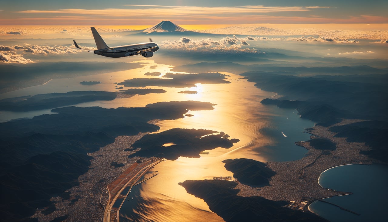
Takeoff from NRT
RIGHTDeparting NRT southbound, the aircraft banks over the Boso Peninsula and then turns west, putting Mount Fuji's snow-capped cone and the Japanese Alps in view on the right side before the route heads out over the East China Sea. The left side only shows open Pacific water during this phase.
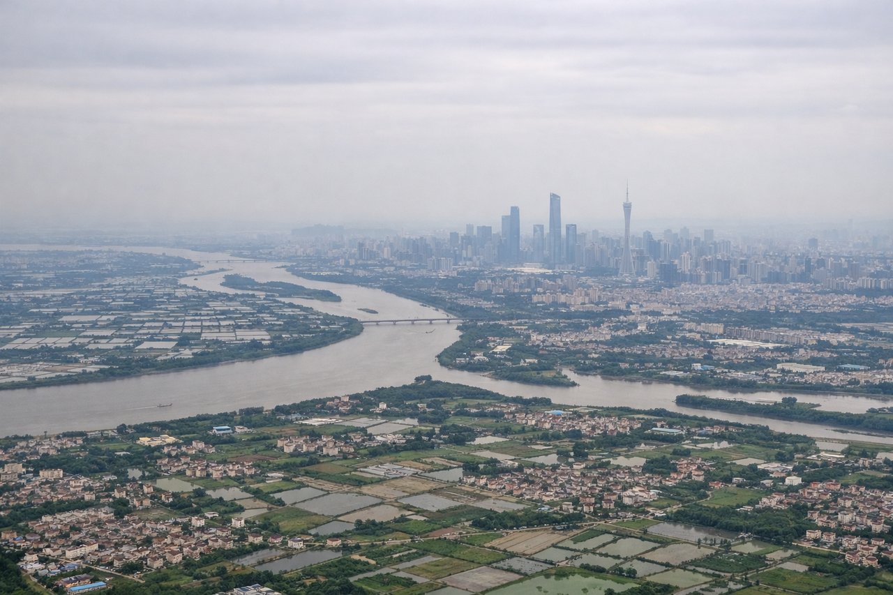
Landing at CAN
RIGHTOn approach to CAN from the north, the descent path crosses the hilly terrain of northern Guangdong before flattening out over the Pearl River Delta, giving right-side passengers a view of low mountain ridges giving way to the sprawling Guangzhou skyline and the Pearl River itself. The left side mostly shows flat delta farmland with less contrast.
Will your flight be in sunlight?
Pick a date and time in the Sun Map to watch the sun move across your whole flight.
About This Route
Which side of the plane should I sit on flying from New Tokyo International (NRT) to Guangzhou Baiyun International Airport (CAN)?
Sit on the Right side of the plane for the best views on flights from Tokyo to Guangzhou. The right side captures Mount Fuji and the Japanese Alps during departure and the Pearl River Delta with Guangzhou's skyline and Baiyun Mountain during arrival, while the left side sees mostly open ocean and flat farmland for both phases.
What can I see during takeoff from New Tokyo International in Tokyo?
During takeoff from New Tokyo International (NRT), sit on the Right side for the best views. Departing NRT southbound, the aircraft banks over the Boso Peninsula and then turns west, putting Mount Fuji's snow-capped cone and the Japanese Alps in view on the right side before the route heads out over the East China Sea. The left side only shows open Pacific water during this phase. Notable sights include: Mount Fuji, Japanese Alps, Boso Peninsula coastline, Sagami Bay.
What can I see when landing at Guangzhou Baiyun International Airport in Guangzhou?
When landing at Guangzhou Baiyun International Airport (CAN), sit on the Right side for the best views. On approach to CAN from the north, the descent path crosses the hilly terrain of northern Guangdong before flattening out over the Pearl River Delta, giving right-side passengers a view of low mountain ridges giving way to the sprawling Guangzhou skyline and the Pearl River itself. The left side mostly shows flat delta farmland with less contrast. Notable sights include: Pearl River, Guangzhou skyline (Canton Tower area), Baiyun Mountain, Pearl River Delta waterways.
How long is the flight from Tokyo to Guangzhou?
The flight from New Tokyo International (NRT) to Guangzhou Baiyun International Airport (CAN) takes about 4 hours 50 minutes. The shortest flight path between them is 1,830 miles (2,945 km); winds and air traffic control usually add a few percent.
What does the Tokyo to Guangzhou flight path pass over?
The route crosses the East China Sea, passing south of the Ryukyu Islands' latitude before making landfall near the Fujian coast and continuing overland across hilly terrain in Jiangxi and northern Guangdong toward the Pearl River Delta.