The left side wins overall because the great-circle route across the North Pacific keeps genuine landmarks appearing on that side for hours: the volcanic Kamchatka coast, the Aleutian Island chain, the glaciated Alaska Peninsula and Gulf of Alaska shoreline, and finally the mountainous coast of British Columbia during descent. The right side faces almost uninterrupted open ocean for the bulk of the nine-plus-hour cruise, which caps its overall value despite nice bookend views at takeoff and landing.
Flight Path
North Pacific Ocean south of the Aleutian Islands, with the Kamchatka Peninsula's volcanic coast behind and the Gulf of Alaska ahead
Great circle distance and headings ›

Phase by phase
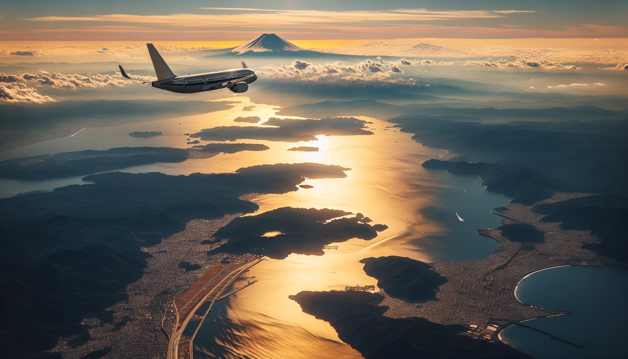
Takeoff from NRT
RIGHTNarita's southbound departure track (runway 16, common outside winter) climbs over the Boso Peninsula before turning east, giving the right side windows a fleeting but genuine view of Mount Fuji's cone roughly 60 miles to the southwest, plus Tokyo Bay's entrance. The left side only shows the flat, built-up Chiba countryside.
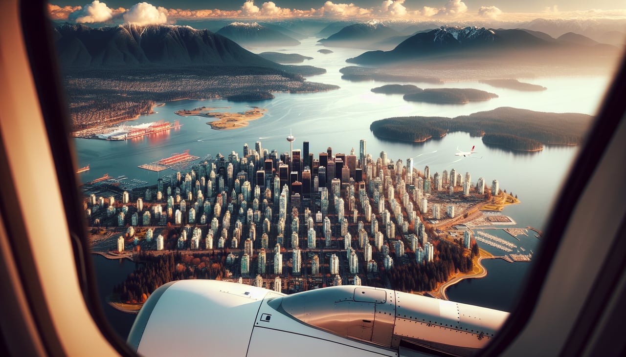
Landing at YVR
RIGHTOn final approach to YVR's runway 26, the aircraft tracks west over the Fraser Valley, putting the steep, forested North Shore mountains (Grouse, Seymour, Cypress) close on the right side just north of the airport. The left side instead faces the flat Fraser River delta and Boundary Bay, with Mount Baker only a distant shape.
Landmarks on this routeAll landmarks →
Will your flight be in sunlight?
See exactly which side of the plane gets sun and shade at your departure time.
About This Route
Which side of the plane should I sit on flying from New Tokyo International (NRT) to Vancouver International (YVR)?
Sit on the Left side of the plane for the best views on flights from Tokyo to Vancouver. The left side wins overall because the great-circle route across the North Pacific keeps genuine landmarks appearing on that side for hours: the volcanic Kamchatka coast, the Aleutian Island chain, the glaciated Alaska Peninsula and Gulf of Alaska shoreline, and finally the mountainous coast of British Columbia during descent. The right side faces almost uninterrupted open ocean for the bulk of the nine-plus-hour cruise, which caps its overall value despite nice bookend views at takeoff and landing.
What can I see during takeoff from New Tokyo International in Tokyo?
During takeoff from New Tokyo International (NRT), sit on the Right side for the best views. Narita's southbound departure track (runway 16, common outside winter) climbs over the Boso Peninsula before turning east, giving the right side windows a fleeting but genuine view of Mount Fuji's cone roughly 60 miles to the southwest, plus Tokyo Bay's entrance. The left side only shows the flat, built-up Chiba countryside. Notable sights include: Mount Fuji (distant), Tokyo Bay entrance, Boso Peninsula coastline, Chiba shoreline.
What can I see when landing at Vancouver International in Vancouver?
When landing at Vancouver International (YVR), sit on the Right side for the best views. On final approach to YVR's runway 26, the aircraft tracks west over the Fraser Valley, putting the steep, forested North Shore mountains (Grouse, Seymour, Cypress) close on the right side just north of the airport. The left side instead faces the flat Fraser River delta and Boundary Bay, with Mount Baker only a distant shape. Notable sights include: North Shore mountains (Grouse, Seymour, Cypress), Burrard Inlet, Fraser River delta, Mount Baker (distant background).
How long is the flight from Tokyo to Vancouver?
The flight from New Tokyo International (NRT) to Vancouver International (YVR) takes 9h 35m.
What does the Tokyo to Vancouver flight path pass over?
North Pacific Ocean south of the Aleutian Islands, with the Kamchatka Peninsula's volcanic coast behind and the Gulf of Alaska ahead