The right side captures both scenic bookends of the flight — Vancouver's Coast Mountains and fjords on departure, and Tokyo Bay with a possible Mount Fuji view on arrival — while the left side faces mostly open water during both takeoff and landing, with nothing but the Pacific for the many hours in between on either side.
Flight Path
The route tracks northwest along the British Columbia and Gulf of Alaska coastline before crossing the open North Pacific near the Aleutian Islands, then curves southwest past the Kuril Islands and Kamchatka Peninsula region, and finally approaches Japan along the Sanriku coast of Tohoku before descending toward Tokyo.
Great circle distance and headings ›


Phase by phase
Takeoff from YVR
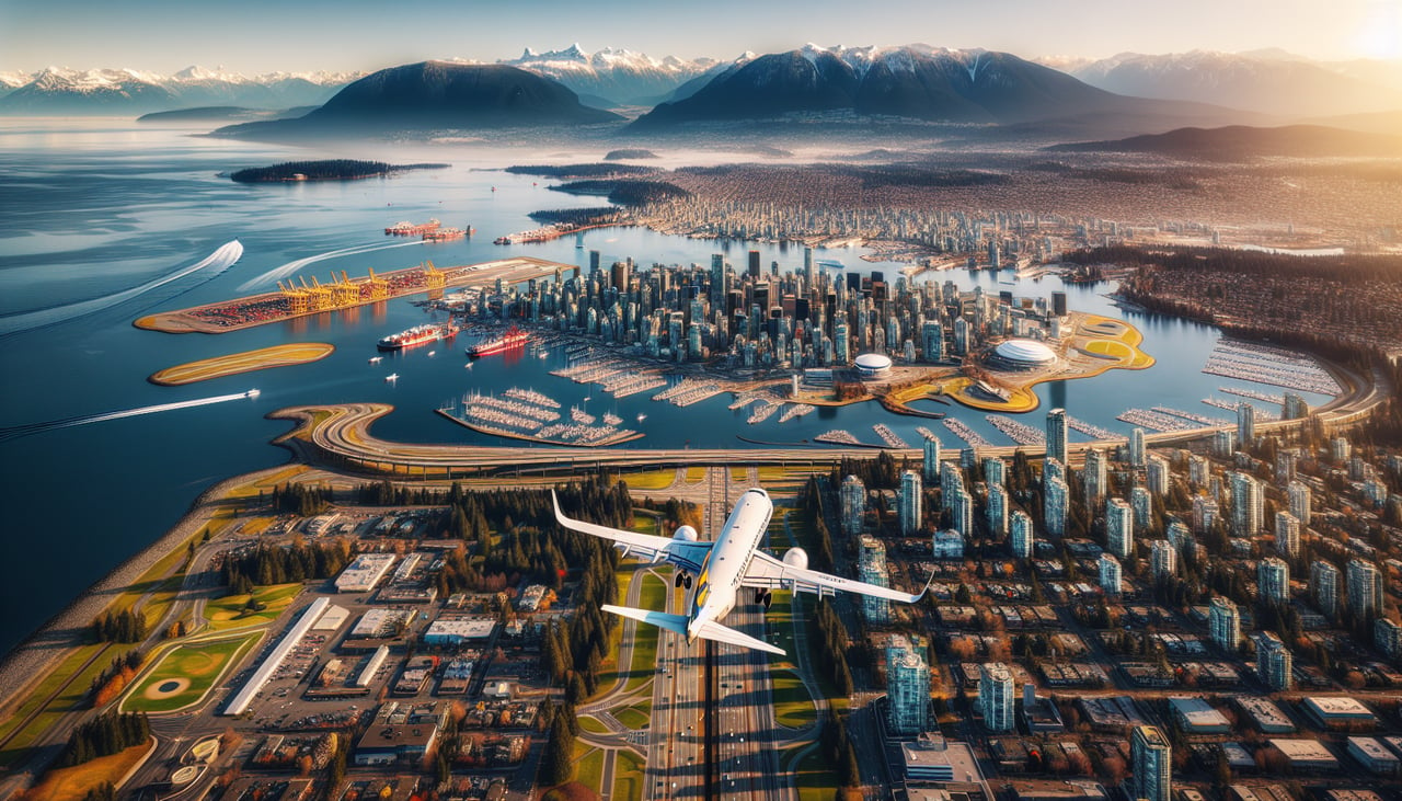
RIGHTDeparting YVR on runway 26 heads west over the Strait of Georgia, and the immediate right turn onto the northbound track puts Vancouver's North Shore Mountains, Howe Sound, and the Sunshine Coast directly on the right side. As the aircraft climbs out along the great-circle track toward Alaska, the jagged, glacier-streaked Coast Mountains stay visible on the right for a long stretch.
Landing at NRT
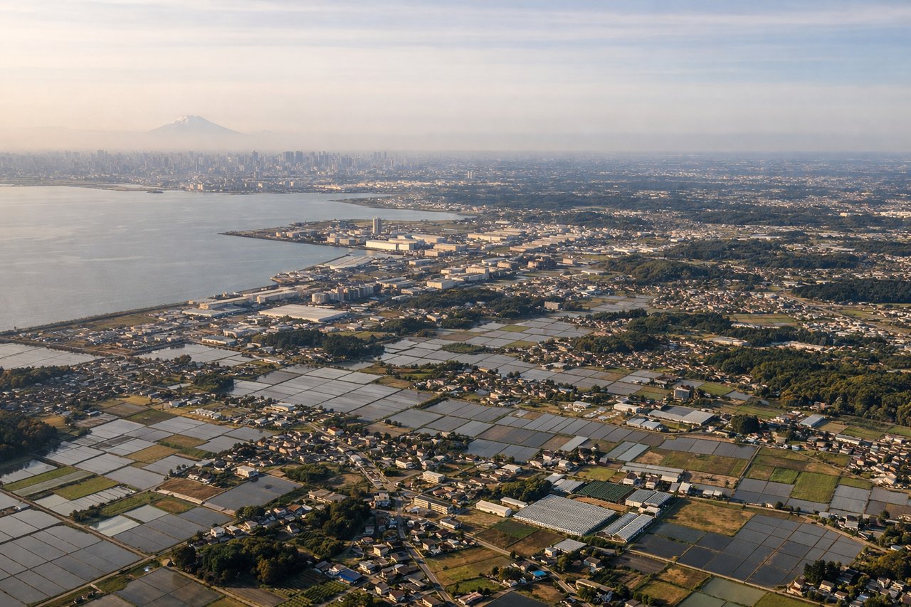
RIGHTOn the descent into Narita, the flight path curves down along Japan's eastern coast before turning inland over Chiba, putting the Tokyo Bay area and, on clear days, the distant silhouette of Mount Fuji on the right side. The left side instead faces the open Pacific and the less distinctive Boso Peninsula coastline.
Landmarks on this routeAll landmarks →
Will your flight be in sunlight?
See exactly which side of the plane gets sun and shade at your departure time.
About This Route
Which side of the plane should I sit on flying from Vancouver International (YVR) to New Tokyo International (NRT)?
Sit on the Right side of the plane for the best views on flights from Vancouver to Tokyo. The right side captures both scenic bookends of the flight — Vancouver's Coast Mountains and fjords on departure, and Tokyo Bay with a possible Mount Fuji view on arrival — while the left side faces mostly open water during both takeoff and landing, with nothing but the Pacific for the many hours in between on either side.
What can I see during takeoff from Vancouver International in Vancouver?
During takeoff from Vancouver International (YVR), sit on the Right side for the best views. Departing YVR on runway 26 heads west over the Strait of Georgia, and the immediate right turn onto the northbound track puts Vancouver's North Shore Mountains, Howe Sound, and the Sunshine Coast directly on the right side. As the aircraft climbs out along the great-circle track toward Alaska, the jagged, glacier-streaked Coast Mountains stay visible on the right for a long stretch. Notable sights include: North Shore Mountains (Grouse, Seymour, Cypress), Howe Sound, Strait of Georgia, BC Coast Mountains.
What can I see when landing at New Tokyo International in Tokyo?
When landing at New Tokyo International (NRT), sit on the Right side for the best views. On the descent into Narita, the flight path curves down along Japan's eastern coast before turning inland over Chiba, putting the Tokyo Bay area and, on clear days, the distant silhouette of Mount Fuji on the right side. The left side instead faces the open Pacific and the less distinctive Boso Peninsula coastline. Notable sights include: Tokyo Bay, Tokyo skyline in the distance, Mount Fuji (on clear days), Chiba countryside.
How long is the flight from Vancouver to Tokyo?
The flight from Vancouver International (YVR) to New Tokyo International (NRT) takes 10h 35m.
What does the Vancouver to Tokyo flight path pass over?
The route tracks northwest along the British Columbia and Gulf of Alaska coastline before crossing the open North Pacific near the Aleutian Islands, then curves southwest past the Kuril Islands and Kamchatka Peninsula region, and finally approaches Japan along the Sanriku coast of Tohoku before descending toward Tokyo.