Everett to Denver is 1,035 miles (1,665 km), a flight of about 2 hours 45 minutes.
Left side scores higher due to the superior takeoff experience from Paine Field: Puget Sound, Olympic Mountains, and Seattle's urban waterfront provide dramatic terrain variety and landmark density. While the landing at Denver favors the right side with Rocky Mountain views, the takeoff advantage and the scenic Cascade foothills visible throughout the cruise on the left side outweigh the landing benefit. The left side offers more consistent visual interest across the full flight duration.
Flight Path
Cascade Range peaks (Mount Baker, Mount Shuksan visible on clear days), Columbia River Gorge, Snake River Plain, Blue Mountains of Oregon-Washington border, Great Basin high desert terrain, Utah-Wyoming border ridges, Wasatch Range foothills approaching Denver
Great circle distance and headings ›
.jpg?width=600)
Phase by phase
Takeoff from PAE
LEFTLeft side captures Puget Sound, the Olympic Mountains, and Seattle's urban sprawl during departure. Right side faces inland toward the Cascade Range foothills but lacks the dramatic water and city contrast.
Landing at DEN
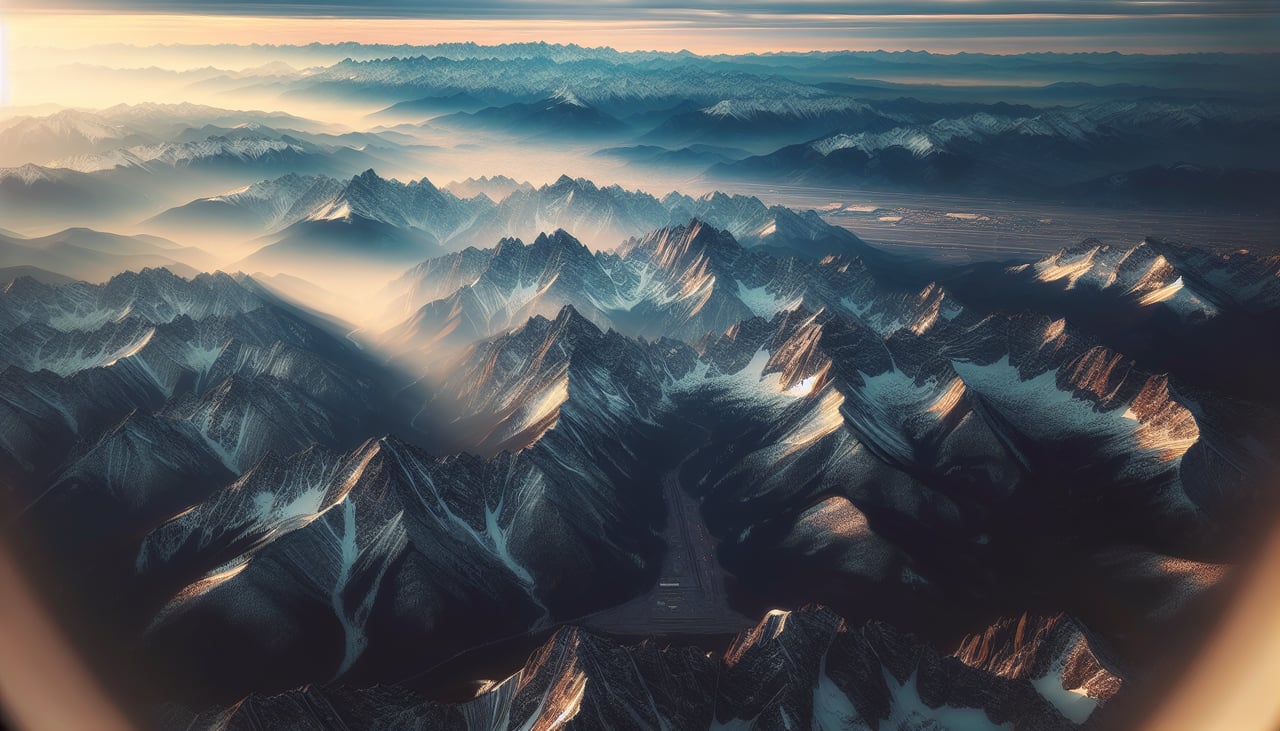
RIGHTRight side offers the dramatic approach over the Colorado Front Range and the High Plains transition. The Rocky Mountain peaks dominate the final descent, with Denver's urban grid visible against the mountain backdrop. Left side shows only the eastern plains and lacks mountain drama.
Landmarks on this routeAll landmarks →
Will your flight be in sunlight?
Pick a date and time in the Sun Map to watch the sun move across your whole flight.
About This Route
Which side of the plane should I sit on flying from Snohomish Co (PAE) to Denver International (DEN)?
Sit on the Left side of the plane for the best views on flights from Everett to Denver. Left side scores higher due to the superior takeoff experience from Paine Field: Puget Sound, Olympic Mountains, and Seattle's urban waterfront provide dramatic terrain variety and landmark density. While the landing at Denver favors the right side with Rocky Mountain views, the takeoff advantage and the scenic Cascade foothills visible throughout the cruise on the left side outweigh the landing benefit. The left side offers more consistent visual interest across the full flight duration.
What can I see during takeoff from Snohomish Co in Everett?
During takeoff from Snohomish Co (PAE), sit on the Left side for the best views. Left side captures Puget Sound, the Olympic Mountains, and Seattle's urban sprawl during departure. Right side faces inland toward the Cascade Range foothills but lacks the dramatic water and city contrast. Notable sights include: Puget Sound (immediate foreground), Olympic Mountains (western horizon), Seattle-Tacoma urban corridor (south), Mount Rainier (distant southeast on clear days).
What can I see when landing at Denver International in Denver?
When landing at Denver International (DEN), sit on the Right side for the best views. Right side offers the dramatic approach over the Colorado Front Range and the High Plains transition. The Rocky Mountain peaks dominate the final descent, with Denver's urban grid visible against the mountain backdrop. Left side shows only the eastern plains and lacks mountain drama. Notable sights include: Colorado Front Range peaks (Mount Evans, Longs Peak visible on clear days), Denver metropolitan area grid, South Platte River valley, High Plains extending eastward.
How long is the flight from Everett to Denver?
The flight from Snohomish Co (PAE) to Denver International (DEN) takes about 2 hours 45 minutes. The shortest flight path between them is 1,035 miles (1,665 km); winds and air traffic control usually add a few percent.
What does the Everett to Denver flight path pass over?
Cascade Range peaks (Mount Baker, Mount Shuksan visible on clear days), Columbia River Gorge, Snake River Plain, Blue Mountains of Oregon-Washington border, Great Basin high desert terrain, Utah-Wyoming border ridges, Wasatch Range foothills approaching Denver