Perth to Melbourne is 1,694 miles (2,726 km), a flight of about 3 hours 20 minutes.
The right (south-facing) side captures the Fremantle coastline on departure, occasional Southern Ocean and Great Australian Bight views during cruise over the Nullarbor, and a scenic Port Phillip Bay approach into Melbourne — giving it more consistent visual interest than the left side's mostly flat interior views.
Flight Path
Nullarbor Plain, Great Australian Bight coastline, Eyre Peninsula, and the arid inland scrub of South Australia
Great circle distance and headings ›Phase by phase
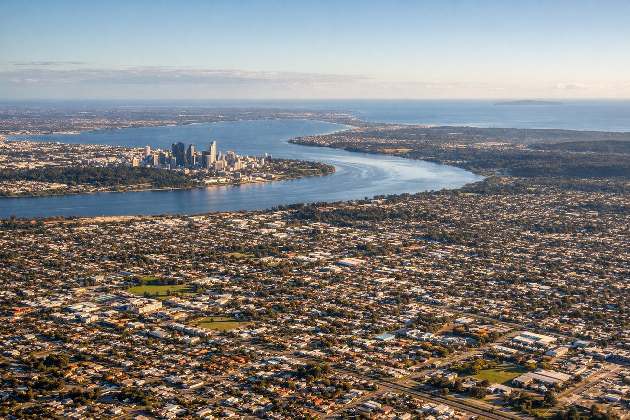
Takeoff from PER
RIGHTDeparting PER to the south before turning east, the right side offers a brief glimpse of the Indian Ocean coastline, Fremantle, and Rottnest Island before the aircraft turns inland over the Darling Range foothills. The left side mostly shows flat outer suburban sprawl.
Landing at MBW
RIGHTOn approach into Moorabbin from the west, the right side (south-facing) gives passengers a wide view across Port Phillip Bay and the Melbourne CBD skyline before the final turn onto the runway. The left side mostly shows flat outer eastern suburbs.
Will your flight be in sunlight?
Pick a date and time in the Sun Map to watch the sun move across your whole flight.
About This Route
Which side of the plane should I sit on flying from Perth International (PER) to Melbourne Moorabbin (MBW)?
Sit on the Right side of the plane for the best views on flights from Perth to Melbourne. The right (south-facing) side captures the Fremantle coastline on departure, occasional Southern Ocean and Great Australian Bight views during cruise over the Nullarbor, and a scenic Port Phillip Bay approach into Melbourne — giving it more consistent visual interest than the left side's mostly flat interior views.
What can I see during takeoff from Perth International in Perth?
During takeoff from Perth International (PER), sit on the Right side for the best views. Departing PER to the south before turning east, the right side offers a brief glimpse of the Indian Ocean coastline, Fremantle, and Rottnest Island before the aircraft turns inland over the Darling Range foothills. The left side mostly shows flat outer suburban sprawl. Notable sights include: Swan River mouth, Fremantle Harbour, Rottnest Island, Darling Range foothills.
What can I see when landing at Melbourne Moorabbin in Melbourne?
When landing at Melbourne Moorabbin (MBW), sit on the Right side for the best views. On approach into Moorabbin from the west, the right side (south-facing) gives passengers a wide view across Port Phillip Bay and the Melbourne CBD skyline before the final turn onto the runway. The left side mostly shows flat outer eastern suburbs. Notable sights include: Port Phillip Bay, Melbourne CBD skyline, Westgate Bridge, Mornington Peninsula coastline.
How long is the flight from Perth to Melbourne?
The flight from Perth International (PER) to Melbourne Moorabbin (MBW) takes about 3 hours 20 minutes. The shortest flight path between them is 1,694 miles (2,726 km); winds and air traffic control usually add a few percent.
What does the Perth to Melbourne flight path pass over?
Nullarbor Plain, Great Australian Bight coastline, Eyre Peninsula, and the arid inland scrub of South Australia