While the Phoenix departure favors the right side for desert mountain views, the Baltimore approach on the left side delivers the more memorable combination of the Chesapeake Bay and Baltimore's skyline, giving the left side the stronger overall experience across the flight.
Flown PHX to BWI? Did we get it right?
Flight Path
Phoenix to Baltimore is 1,994 miles (3,209 km), a flight of about 4 hours 15 minutes.
The route crosses the flat Texas Panhandle, the Great Plains of Oklahoma and Arkansas, and the Mississippi River valley before reaching the Appalachian ridges of West Virginia and western Maryland.
Great circle distance and headings ›


Phase by phase
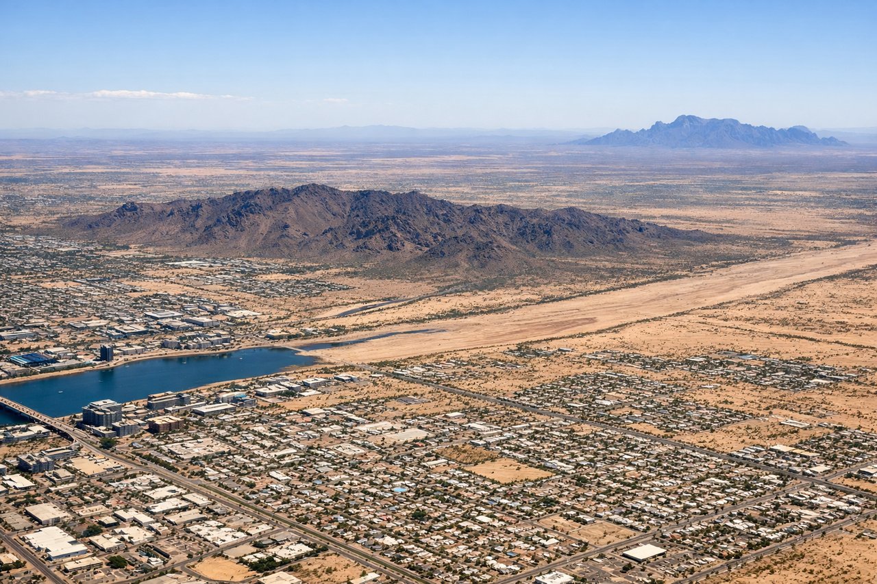
Takeoff from PHX
RIGHTDeparting PHX to the east/northeast in typical flow, the right side gives passengers a good look at the McDowell Mountains and the Superstition Mountains as the plane climbs out over the Sonoran Desert basin.
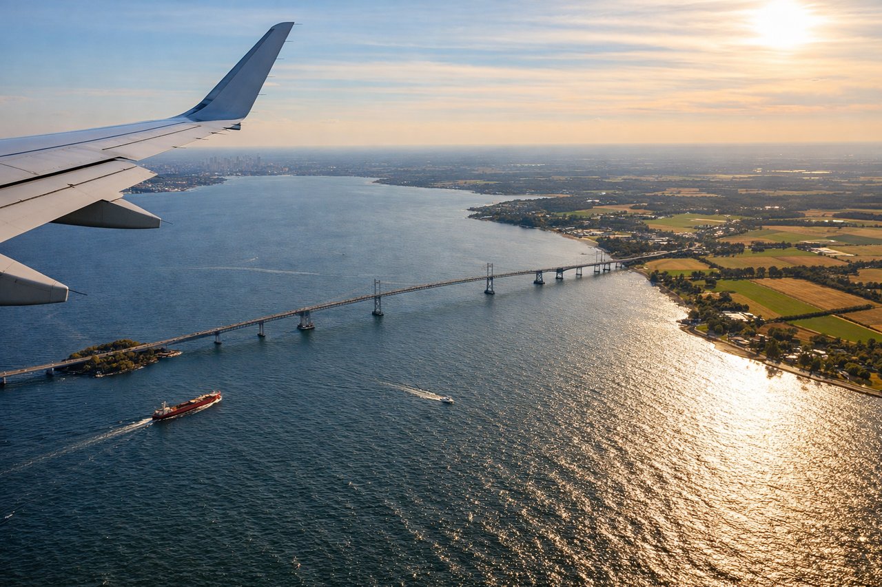
Landing at BWI
LEFTOn approach to BWI from the west, the left side offers views over the Appalachian foothills of western Maryland followed by the Chesapeake Bay and Baltimore's harbor and downtown skyline as the plane descends.
Will your flight be in sunlight?
Pick a date and time in the Sun Map to watch the sun move across your whole flight.
About This Route
Which side of the plane should I sit on flying from Phoenix Sky Harbor International (PHX) to Baltimore Washington International (BWI)?
Sit on the Left side of the plane for the best views on flights from Phoenix to Baltimore. While the Phoenix departure favors the right side for desert mountain views, the Baltimore approach on the left side delivers the more memorable combination of the Chesapeake Bay and Baltimore's skyline, giving the left side the stronger overall experience across the flight.
What can I see during takeoff from Phoenix Sky Harbor International in Phoenix?
During takeoff from Phoenix Sky Harbor International (PHX), sit on the Right side for the best views. Departing PHX to the east/northeast in typical flow, the right side gives passengers a good look at the McDowell Mountains and the Superstition Mountains as the plane climbs out over the Sonoran Desert basin. Notable sights include: Superstition Mountains, McDowell Mountains, Salt River valley, Sonoran Desert terrain.
What can I see when landing at Baltimore Washington International in Baltimore?
When landing at Baltimore Washington International (BWI), sit on the Left side for the best views. On approach to BWI from the west, the left side offers views over the Appalachian foothills of western Maryland followed by the Chesapeake Bay and Baltimore's harbor and downtown skyline as the plane descends. Notable sights include: Chesapeake Bay, Baltimore Inner Harbor, Patapsco River, downtown Baltimore skyline.
How long is the flight from Phoenix to Baltimore?
The flight from Phoenix Sky Harbor International (PHX) to Baltimore Washington International (BWI) takes about 4 hours 15 minutes. The shortest flight path between them is 1,994 miles (3,209 km); winds and air traffic control usually add a few percent.
What does the Phoenix to Baltimore flight path pass over?
The route crosses the flat Texas Panhandle, the Great Plains of Oklahoma and Arkansas, and the Mississippi River valley before reaching the Appalachian ridges of West Virginia and western Maryland.