The left side tracks the northwest-facing terrain for most of the flight — Phoenix's central mountains at takeoff, the Colorado Plateau and Four Corners canyon country at cruise, and the Front Range peaks on descent into Denver — while the right side stays over comparatively flat, featureless terrain the whole way.
Flown PHX to DEN? Did we get it right?
Flight Path
Phoenix to Denver is 601 miles (968 km), a flight of about 2 hours 10 minutes.
Colorado Plateau canyon country near the Four Corners region, with the San Juan Mountains and Mesa Verde highlands visible to the north of the flight path
Great circle distance and headings ›


Phase by phase
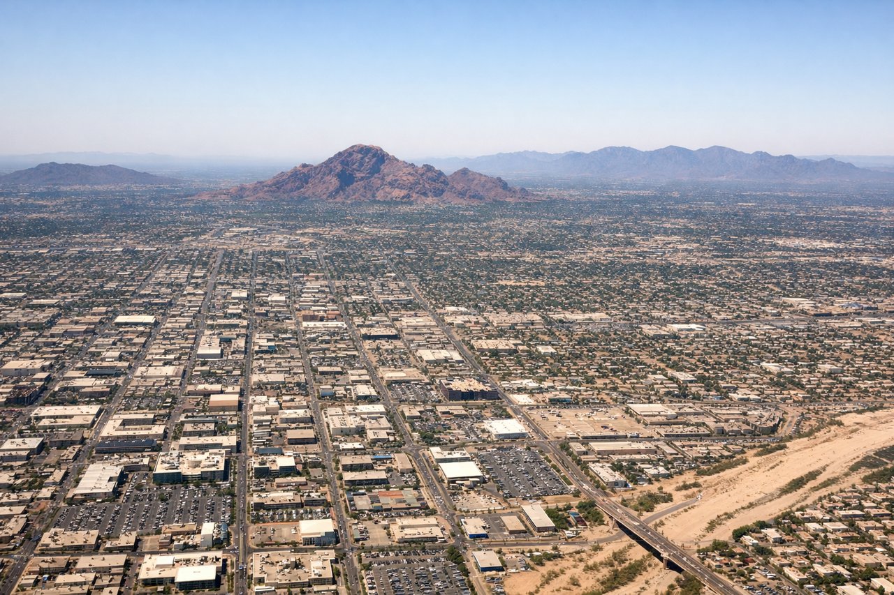
Takeoff from PHX
LEFTDeparting PHX toward the northeast, the left side gives good views of central Phoenix's landmark buttes and mountains as the aircraft climbs and turns onto course, while the right side mostly shows flat suburban sprawl toward Tempe and Mesa.
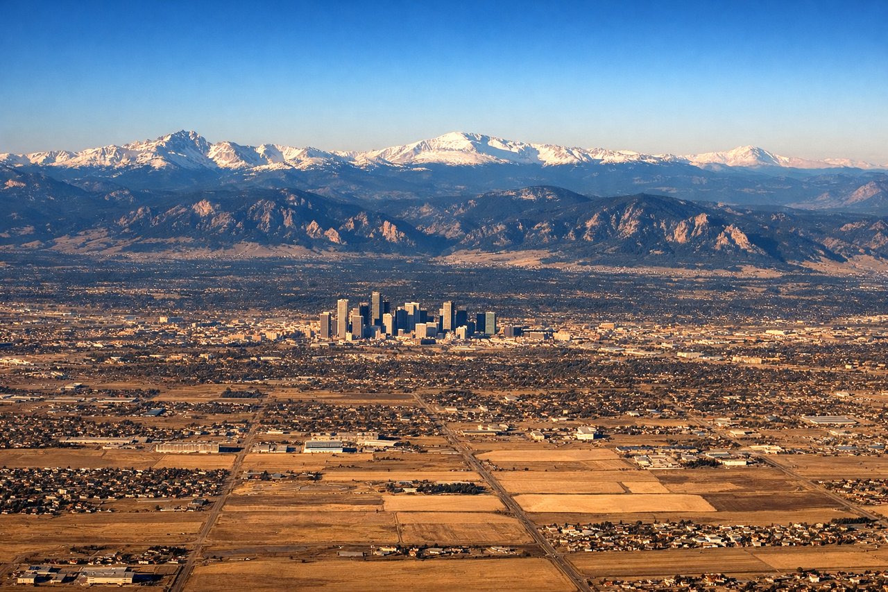
Landing at DEN
LEFTOn approach into Denver from the southwest, the left side faces the Front Range foothills and high peaks rising abruptly from the plains, a dramatic contrast to the flat farmland and grassland visible on the right.
Will your flight be in sunlight?
Pick a date and time in the Sun Map to watch the sun move across your whole flight.
About This Route
Which side of the plane should I sit on flying from Phoenix Sky Harbor International (PHX) to Denver International (DEN)?
Sit on the Left side of the plane for the best views on flights from Phoenix to Denver. The left side tracks the northwest-facing terrain for most of the flight — Phoenix's central mountains at takeoff, the Colorado Plateau and Four Corners canyon country at cruise, and the Front Range peaks on descent into Denver — while the right side stays over comparatively flat, featureless terrain the whole way.
What can I see during takeoff from Phoenix Sky Harbor International in Phoenix?
During takeoff from Phoenix Sky Harbor International (PHX), sit on the Left side for the best views. Departing PHX toward the northeast, the left side gives good views of central Phoenix's landmark buttes and mountains as the aircraft climbs and turns onto course, while the right side mostly shows flat suburban sprawl toward Tempe and Mesa. Notable sights include: Camelback Mountain, Papago Park's red rock buttes, McDowell Mountains on the horizon, Phoenix downtown skyline.
What can I see when landing at Denver International in Denver?
When landing at Denver International (DEN), sit on the Left side for the best views. On approach into Denver from the southwest, the left side faces the Front Range foothills and high peaks rising abruptly from the plains, a dramatic contrast to the flat farmland and grassland visible on the right. Notable sights include: Front Range foothills, Pikes Peak or Longs Peak on the horizon, South Platte River valley, Denver's downtown skyline.
How long is the flight from Phoenix to Denver?
The flight from Phoenix Sky Harbor International (PHX) to Denver International (DEN) takes about 2 hours 10 minutes. The shortest flight path between them is 601 miles (968 km); winds and air traffic control usually add a few percent.
What does the Phoenix to Denver flight path pass over?
Colorado Plateau canyon country near the Four Corners region, with the San Juan Mountains and Mesa Verde highlands visible to the north of the flight path