While Phoenix's takeoff offers urban interest, the landing approach into Flagstaff with the San Francisco Peaks is the dominant scenic feature of this short flight. The volcanic peaks and high-elevation forest provide more dramatic and memorable views than the desert valley departure. Right side captures the most visually distinctive moment of the journey.
Flown PHX to FLG? Did we get it right?
Flight Path
Phoenix to Flagstaff is 119 miles (192 km), a flight of about 50 minutes.
Transition from Sonoran Desert floor through ponderosa pine forest; Camp Verde area; Verde River valley; gradual elevation gain from 1,100 feet (Phoenix) to 7,000 feet (Flagstaff); volcanic geology of the San Francisco volcanic field becomes visible during descent
Great circle distance and headings ›

Phase by phase
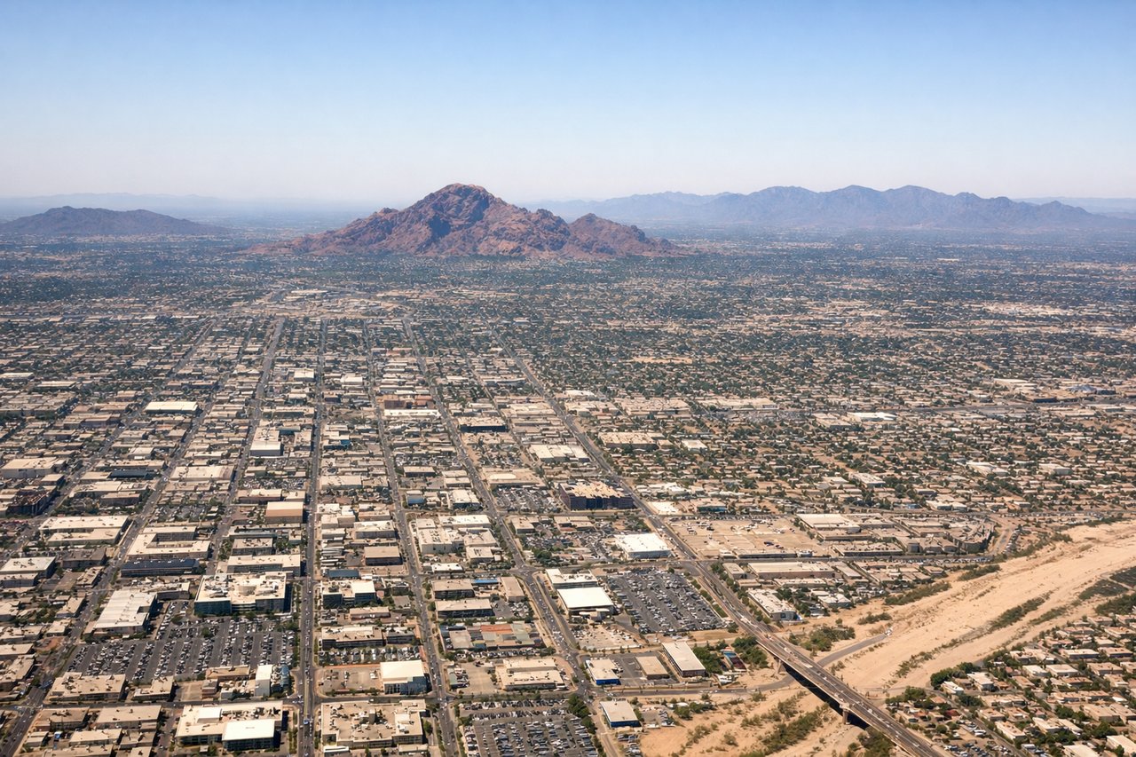
Takeoff from PHX
LEFTLeft side captures Phoenix's urban sprawl and the Salt River valley during climb-out, with the McDowells and Superstition Mountains forming a dramatic eastern backdrop. Right side shows only open desert and distant peaks.
Landing at FLG
RIGHTRight side offers the most dramatic approach into Flagstaff, with the San Francisco Peaks dominating the descent. The volcanic cone of Humphreys Peak and surrounding forested slopes are unmistakable and visually striking. Left side shows only open ponderosa forest with minimal distinctive features.
Will your flight be in sunlight?
Pick a date and time in the Sun Map to watch the sun move across your whole flight.
About This Route
Which side of the plane should I sit on flying from Phoenix Sky Harbor International (PHX) to Flagstaff Pulliam Airport (FLG)?
Sit on the Right side of the plane for the best views on flights from Phoenix to Flagstaff. While Phoenix's takeoff offers urban interest, the landing approach into Flagstaff with the San Francisco Peaks is the dominant scenic feature of this short flight. The volcanic peaks and high-elevation forest provide more dramatic and memorable views than the desert valley departure. Right side captures the most visually distinctive moment of the journey.
What can I see during takeoff from Phoenix Sky Harbor International in Phoenix?
During takeoff from Phoenix Sky Harbor International (PHX), sit on the Left side for the best views. Left side captures Phoenix's urban sprawl and the Salt River valley during climb-out, with the McDowells and Superstition Mountains forming a dramatic eastern backdrop. Right side shows only open desert and distant peaks. Notable sights include: Phoenix downtown skyline, Salt River, Superstition Mountains, McDowell Mountains.
What can I see when landing at Flagstaff Pulliam Airport in Flagstaff?
When landing at Flagstaff Pulliam Airport (FLG), sit on the Right side for the best views. Right side offers the most dramatic approach into Flagstaff, with the San Francisco Peaks dominating the descent. The volcanic cone of Humphreys Peak and surrounding forested slopes are unmistakable and visually striking. Left side shows only open ponderosa forest with minimal distinctive features. Notable sights include: San Francisco Peaks, Humphreys Peak, Flagstaff city, ponderosa pine forest.
How long is the flight from Phoenix to Flagstaff?
The flight from Phoenix Sky Harbor International (PHX) to Flagstaff Pulliam Airport (FLG) takes about 50 minutes. The shortest flight path between them is 119 miles (192 km); winds and air traffic control usually add a few percent.
What does the Phoenix to Flagstaff flight path pass over?
Transition from Sonoran Desert floor through ponderosa pine forest; Camp Verde area; Verde River valley; gradual elevation gain from 1,100 feet (Phoenix) to 7,000 feet (Flagstaff); volcanic geology of the San Francisco volcanic field becomes visible during descent