The right side captures South Mountain and the Superstitions on departure, then tracks the southern view across New Mexico and into the Ozark Plateau terrain through Missouri and Kentucky. The Ohio River and Louisville arrival are better from the left, but the departure scenery from the right is more dramatic and the flight path's mid-section terrain is more interesting on the right side overall.
Flown PHX to LOU? Did we get it right?
Flight Path
Phoenix to Louisville is 1,507 miles (2,425 km), a flight of about 3 hours.
The flight crosses the Mogollon Rim and White Mountains of eastern Arizona, then the high plains of eastern New Mexico and the Texas panhandle, followed by the Ozark Plateau of southern Missouri and Arkansas, transitioning into the rolling farmland of western Kentucky before descending into the Ohio River valley at Louisville.
Great circle distance and headings ›Phase by phase
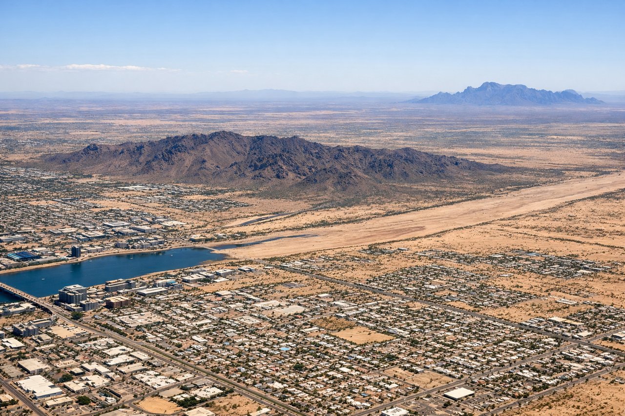
Takeoff from PHX
RIGHTPHX typically departs east on runway 26R/8 or uses runways oriented east-west. Departing eastbound, the right (south) side gives you a clear view of South Mountain Park and the broad Salt River valley floor. The South Mountain range runs east-west and is unmistakable from the right window during climb-out.
Landing at LOU
LEFTBowman Field is a small general aviation airport on the eastern edge of Louisville. Approaches typically come in from the west or southwest. The left (south) side gives a view over downtown Louisville's skyline and the Ohio River as you descend, which is the most visually distinctive feature of the arrival.
Will your flight be in sunlight?
Pick a date and time in the Sun Map to watch the sun move across your whole flight.
About This Route
Which side of the plane should I sit on flying from Phoenix Sky Harbor International (PHX) to Bowman Fld (LOU)?
Sit on the Right side of the plane for the best views on flights from Phoenix to Louisville. The right side captures South Mountain and the Superstitions on departure, then tracks the southern view across New Mexico and into the Ozark Plateau terrain through Missouri and Kentucky. The Ohio River and Louisville arrival are better from the left, but the departure scenery from the right is more dramatic and the flight path's mid-section terrain is more interesting on the right side overall.
What can I see during takeoff from Phoenix Sky Harbor International in Phoenix?
During takeoff from Phoenix Sky Harbor International (PHX), sit on the Right side for the best views. PHX typically departs east on runway 26R/8 or uses runways oriented east-west. Departing eastbound, the right (south) side gives you a clear view of South Mountain Park and the broad Salt River valley floor. The South Mountain range runs east-west and is unmistakable from the right window during climb-out. Notable sights include: South Mountain Park, Superstition Mountains to the east, Salt River bed, downtown Phoenix grid.
What can I see when landing at Bowman Fld in Louisville?
When landing at Bowman Fld (LOU), sit on the Left side for the best views. Bowman Field is a small general aviation airport on the eastern edge of Louisville. Approaches typically come in from the west or southwest. The left (south) side gives a view over downtown Louisville's skyline and the Ohio River as you descend, which is the most visually distinctive feature of the arrival. Notable sights include: Ohio River, downtown Louisville skyline, Louisville waterfront, Indiana lowlands across the river.
How long is the flight from Phoenix to Louisville?
The flight from Phoenix Sky Harbor International (PHX) to Bowman Fld (LOU) takes about 3 hours. The shortest flight path between them is 1,507 miles (2,425 km); winds and air traffic control usually add a few percent.
What does the Phoenix to Louisville flight path pass over?
The flight crosses the Mogollon Rim and White Mountains of eastern Arizona, then the high plains of eastern New Mexico and the Texas panhandle, followed by the Ozark Plateau of southern Missouri and Arkansas, transitioning into the rolling farmland of western Kentucky before descending into the Ohio River valley at Louisville.